Day by Day, Pass by Pass

Into the South Sierra
June 21, 2016
To Yosemite & Beyond!
July 24, 2016
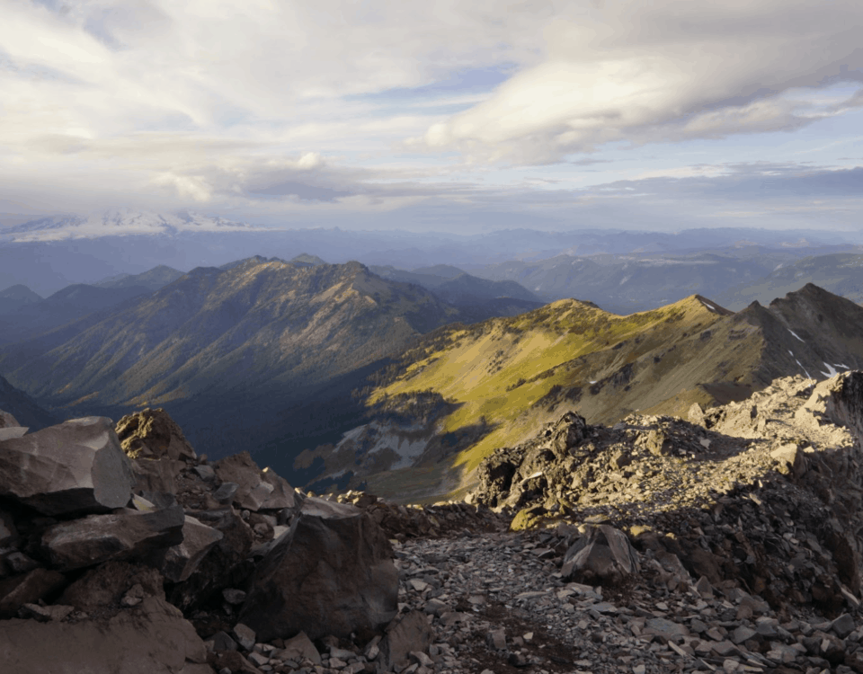
After making our way back up Kearsarge pass, we camped a few miles from the trail overlooking Bullfrog lake and Forester pass to the South. Tucked into a sheltered nook in the rock, we had spotted the campsite three days earlier while hiking out to Bishop. As there was no way to secure the tarp on the bedrock, we spent the night enjoying an exceptional view of the stars, something I tried to capture on camera. In the morning we climbed a few miles up to our next high point, Glen pass. With ample snow fields remaining above 12,000ft, we prefer to hit the passes early in the morning, avoiding the slushy snow of the late afternoon where you are more likely to posthole. As a result our daily mileages become dependent on the passes themselves rather than our vigor. Day by day, pass pass.

As we came down from Glen pass navigating through snow fields back to tree-line, Mandalynn stumbled over some rocks and twisted her ankle. We set our things down at a nearby lake and used some snow reduce the swelling. After resting for a couple hours, we reorganized our packs to redistribute the weight load, and hiked a few miles into the evening. With very few options to get off the trail, the most reasonable seemed to keep moving forward. The next day was a slow one as I carried well over half my body weight 3500ft up to Pinchot pass. Mandalynn took her time with the sore but functional ankle, and step by step we climbed. Along the way we ran into a friend we hadn’t hiked with in several hundred miles. As she was also experiencing difficulties, we made a good team going up the pass together. We spent the afternoon taking in views from the pass, then made our remaining miles down to the middle fork of the King’s river.


From here the passes did not get any easier, as we continued to climb 2000 – 3500ft every day. Despite our next climb to Mather pass being of comparable elevation to Pinchot, there was considerably more snow, making for more slow and difficult miles. As we made our way down the otherside, we descended down the “Golden Staircase,” leading us down to the mountain floor. Over two miles we dropped 1600ft down the switchbacks of the granite cliffs. This area between Mather and Muir pass was extremely lush, even giving the impression of a well manicured garden, where the terrain flattened out into high alline meadows cut in half by the meandering river. We enjoyed our camp here very much, and were treated to another evening of brilliant stars.

In the morning we traversed Muir pass, where an intricate stone shelter had been constructed at the top. As the stones spiraled up, the hut seemed reminescent of a bee-hive. As we could see thunder heads building to the North, we did not linger for long, and did our best to get back to tree line as quickly as possible. We setup our tarp and waited out the storm for several hours. After the rain subsided, we packed up our things and continued hiking. Before long it was raining again, thunder booming off the canyon walls. By the time we had made three more miles, we were soaked to the core, cold and hungry. We set up camp, began to dry our clothes, and made a hot meal. As we ate our dinner under the tarp, the sun dropped below the cloud line turning everything golden to the West and making a double rainbow to the East, the highlight of a hard day. In the morning we forded Evolution creek, a major tributary to the San Juaquin river. We crossed it in a meadow, so despite wide and deep water, it was not fast moving. At last the passes began to decrease in elevation, and we were able to cross over Seldon pass that afternoon.


Then came Bear creek, the second crossing that was talked about up and down the trail. Here the mosquitos were so bad that we left our clothes on to avoid being eaten alive. As we waded across the swift water, we were constantly bombarded, making the crossing even slower. As I made it to the other side, the creek came up my back and soaked the bottom of my pack. By the time I threw myself onto the opposing embankment, my phone and map had been compromised. Luckily Mandalynn found a better way across. After one more pass and a few good creek crossings, we came down into Red’s meadow, just a stone’s throw away from Mammoth Lakes. Here we will stop to pick up our next resupply taking us into Bridgeport. However, with the hoilday weekend we will be stuck here for the 4th of July. I suppose it’s parades and fireworks for now…
Cheers from the trail!
Stump & Mandalynn


