Southern Grasslands

The Choir of Dehydrators…. A New Beginning and a Second Attempt
February 10, 2019
Homeward Bound – The Santa Rita Mountains
March 12, 2019After winding down dirt forest roads for what seemed an eternity, we at last arrived at Montezuma Pass -the closest point to the southern terminus of the Arizona trail that one can drive to. As we edged over the pass we were all taken by the view looking South into Mexico. After one last round of goodbyes safe travels and thank yous, we headed south for the Mexican border.
The trail here winds through desert grasslands filled with oak, similar to the ones leading into Madera Canyon. Going south, we followed a ridge lending an expansive view into Mexico, where several distinct mountain ranges, drainages, and canyons could be seen snaking their way into Mexico.
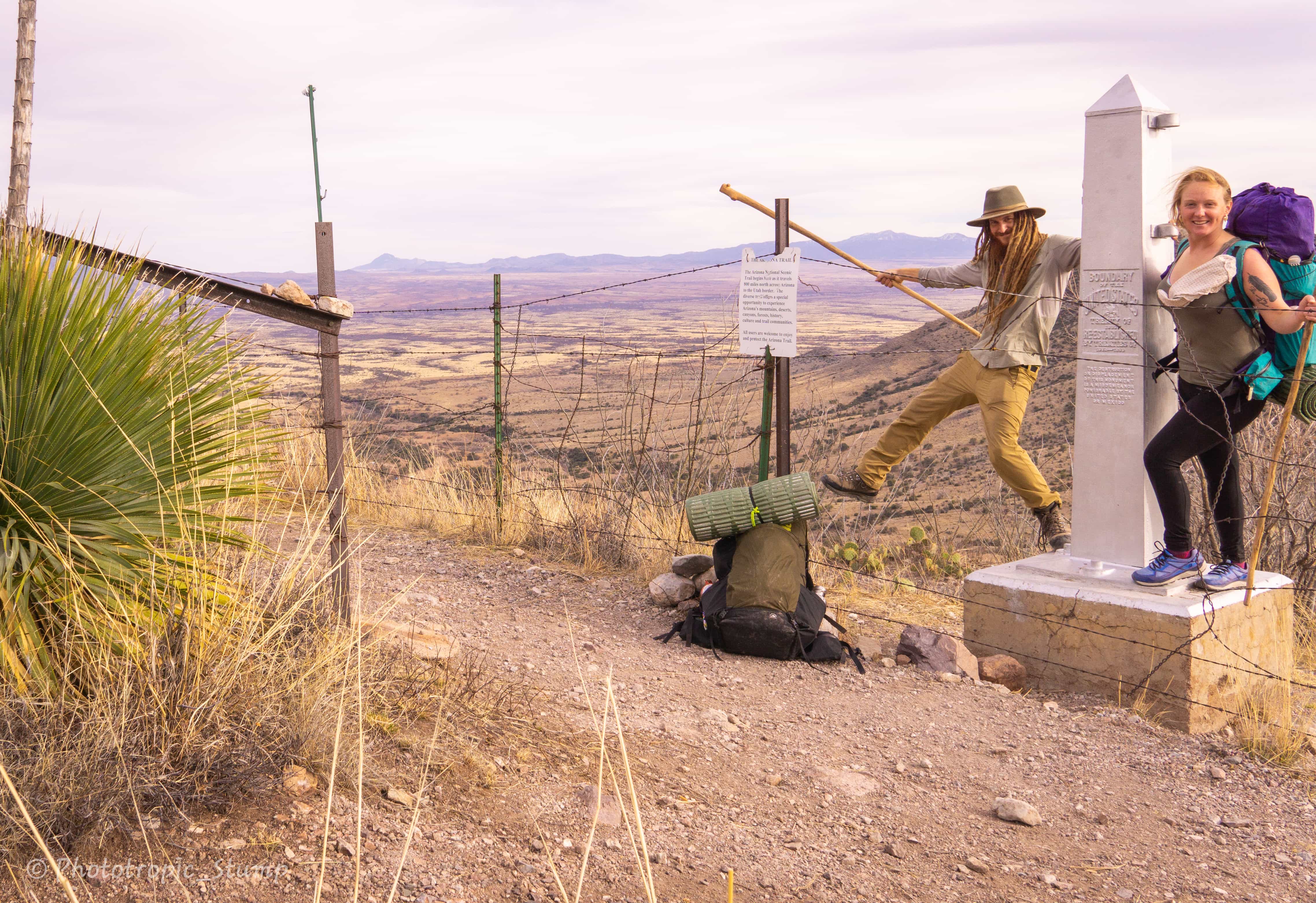
The Southern terminus was a large silver structure behind a barbed wire fence. We looked for some bad hombres but all we found were cows. After taking a few pictures at the monument, we turned around and began our journey north…
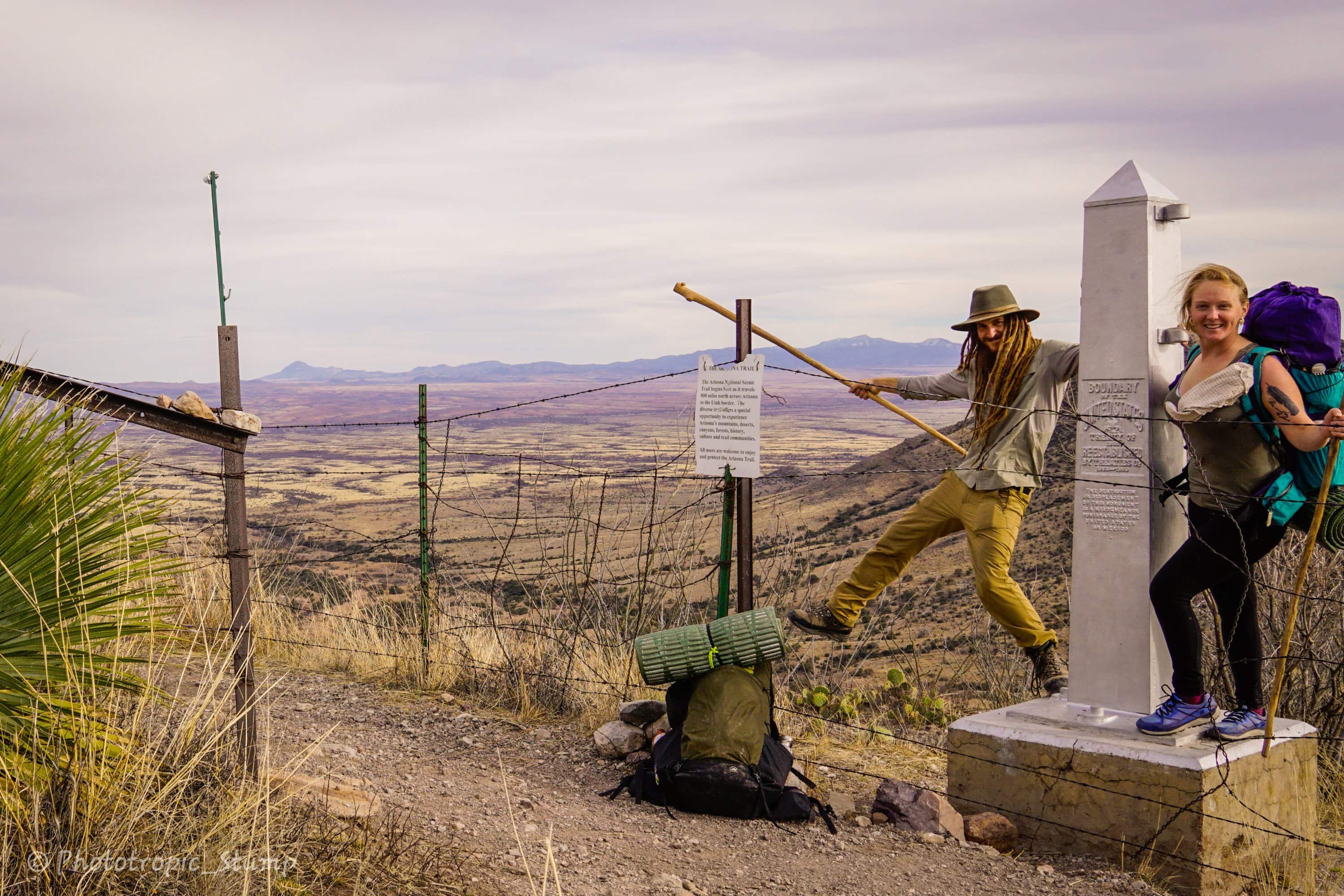
The U.S. – Mexico border and the start of the AZT
Making our entrance into the Huachuca mountains, we began climbing from the time we left camp the next morning, well into the afternoon. Just before noon we hit the Miller peak trail jct and began breaking trail up to the highest point in Southern Arizona. When we arrived we were greeted with a howling and relentless wind. We only stayed for a short while before making the long awaited downward descent. While this wasn’t technically part of the trail, the extra mile and 500ft of gain were well worth it.
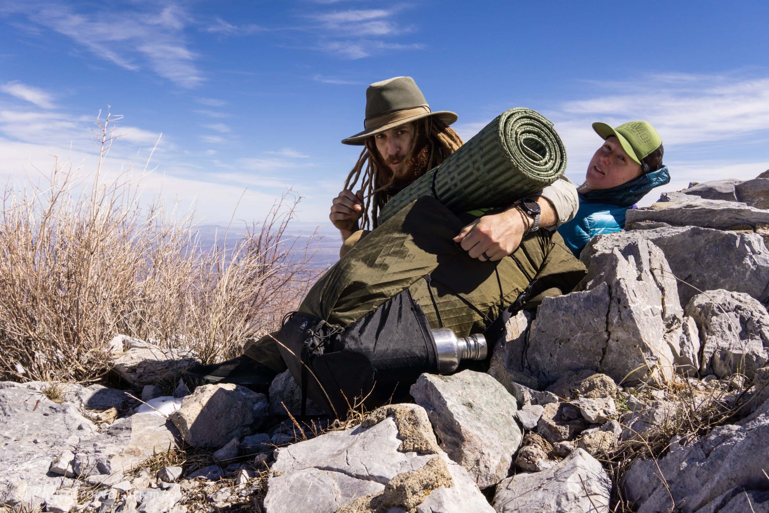
A windy summit on Miller Peak
Surprisingly, we hit the the largest snow fields north of the jct on the AZT. The longest was well over a mile long with 4″-15″of snow. While we weren’t breaking trail, these were very slow miles, often windy as well. Around mid-afternoon we began our terminal downward descent for passage 1. We found an excellent place to pitch the tarp about half way down in the remnants of an old mining camp. Copper in every form imaginable can readily be found without trying. Needless to say we are easily distracted…
The next morning we followed sunnyside canyon via it’s main dainage to lower elevations out of the Huachucas. As we dropped, we found ourselves in a lush riparian grassland filled with massive sycamore and some of the tallest alligator junipers I have ever seen. Combined with a meandering downhill grade, we made good time in comparison to yesterday’s snow adventure.
We soon came into the northern foothills of the Huachucas, the Canelo Hills. Upon our arrival we were greeted with a surprising view of Parker Canyon Lake. Enjoying the great conditions for hiking, albeit getting warmer as we continued to loose elevation, we pushed on making 10mi before lunch. We stopped in Parker canyon and made a delecious meal of corn grits spiced with Tajin.
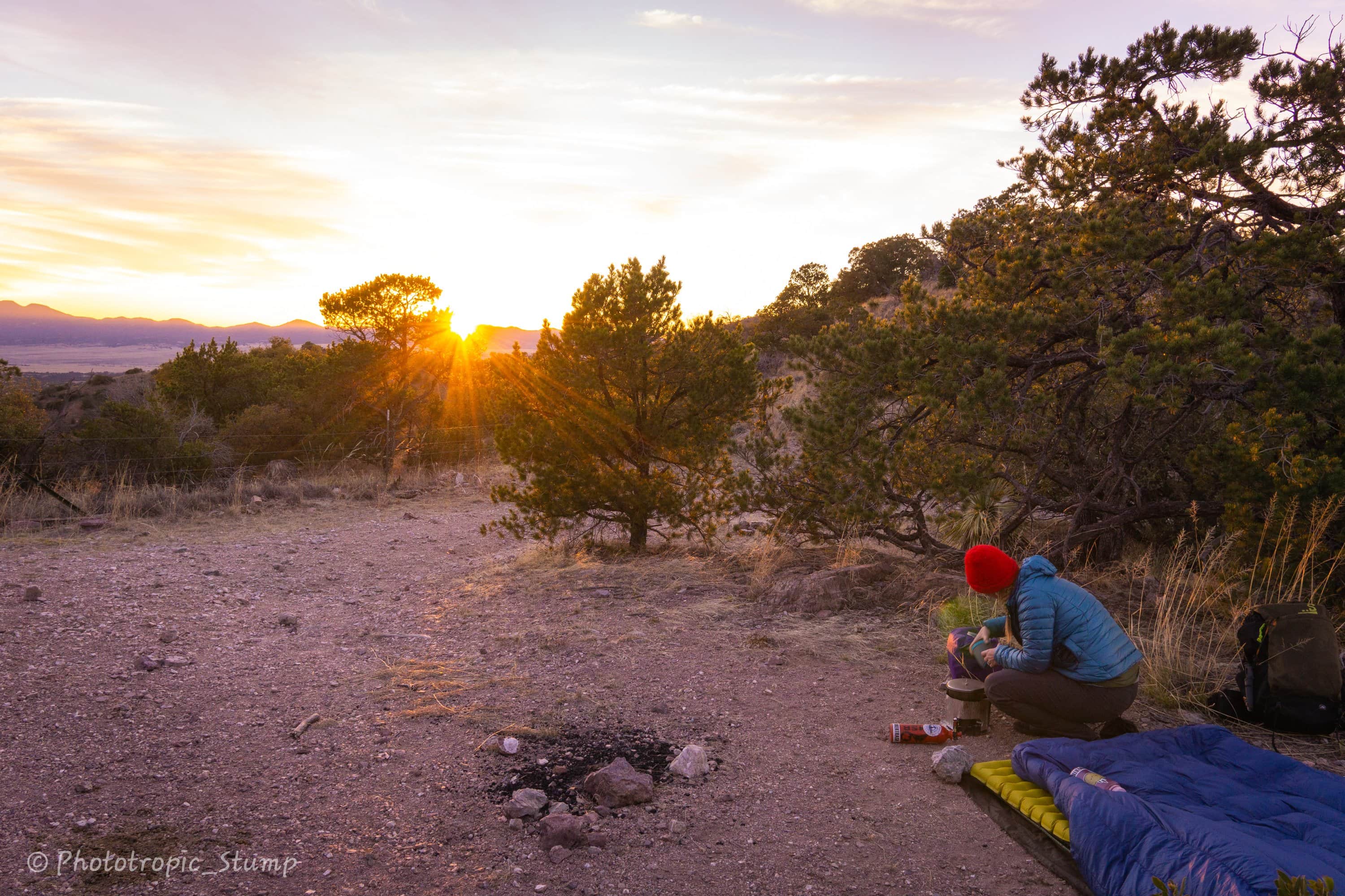
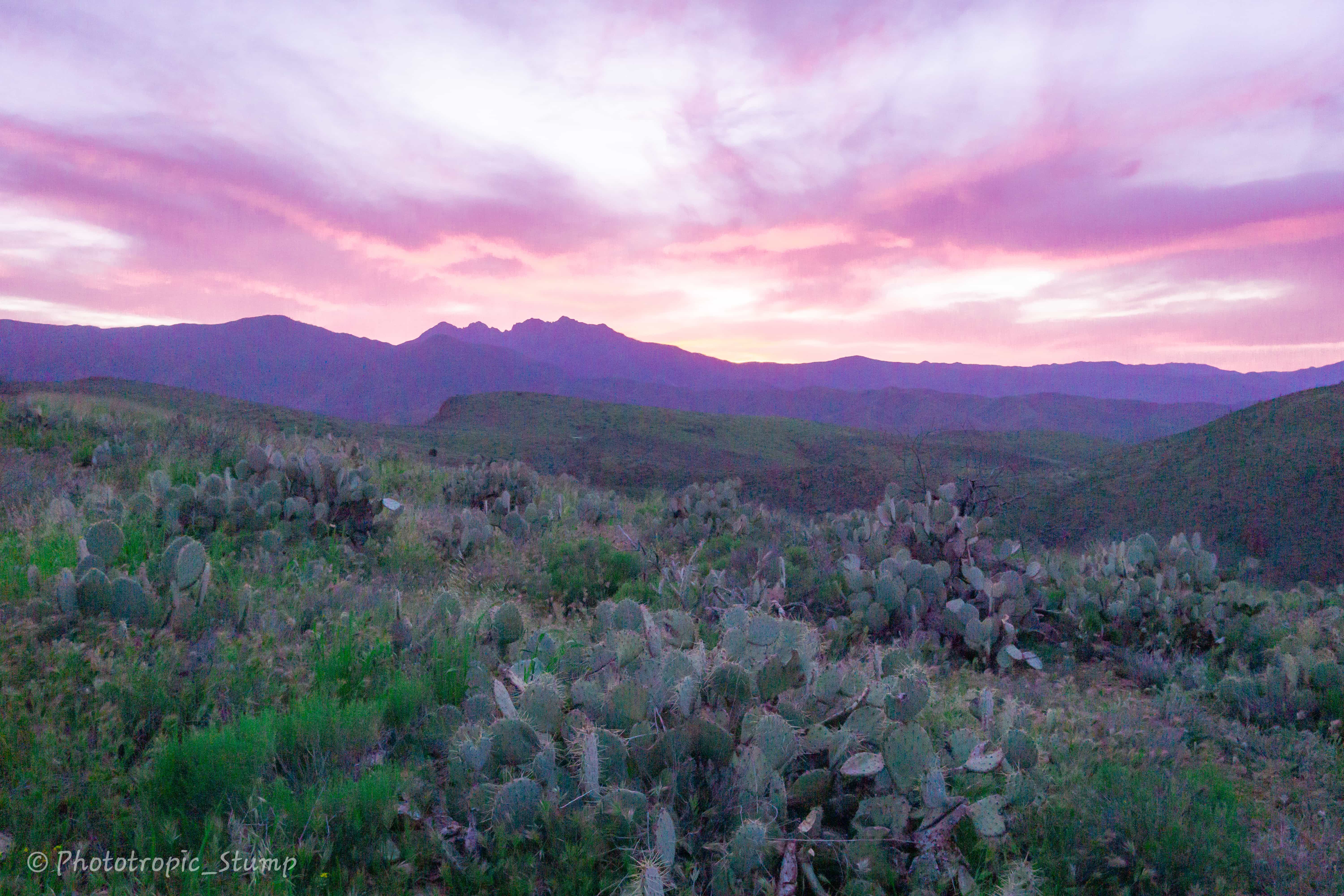
As we migrated from East to West across the hills, bouncing around from one arroyo to another, we broke into passage 3 before making camp. Our most scenic camp on the trail so far, with an an expansive view in almost all directions. The sun even put on a show for the sunset.
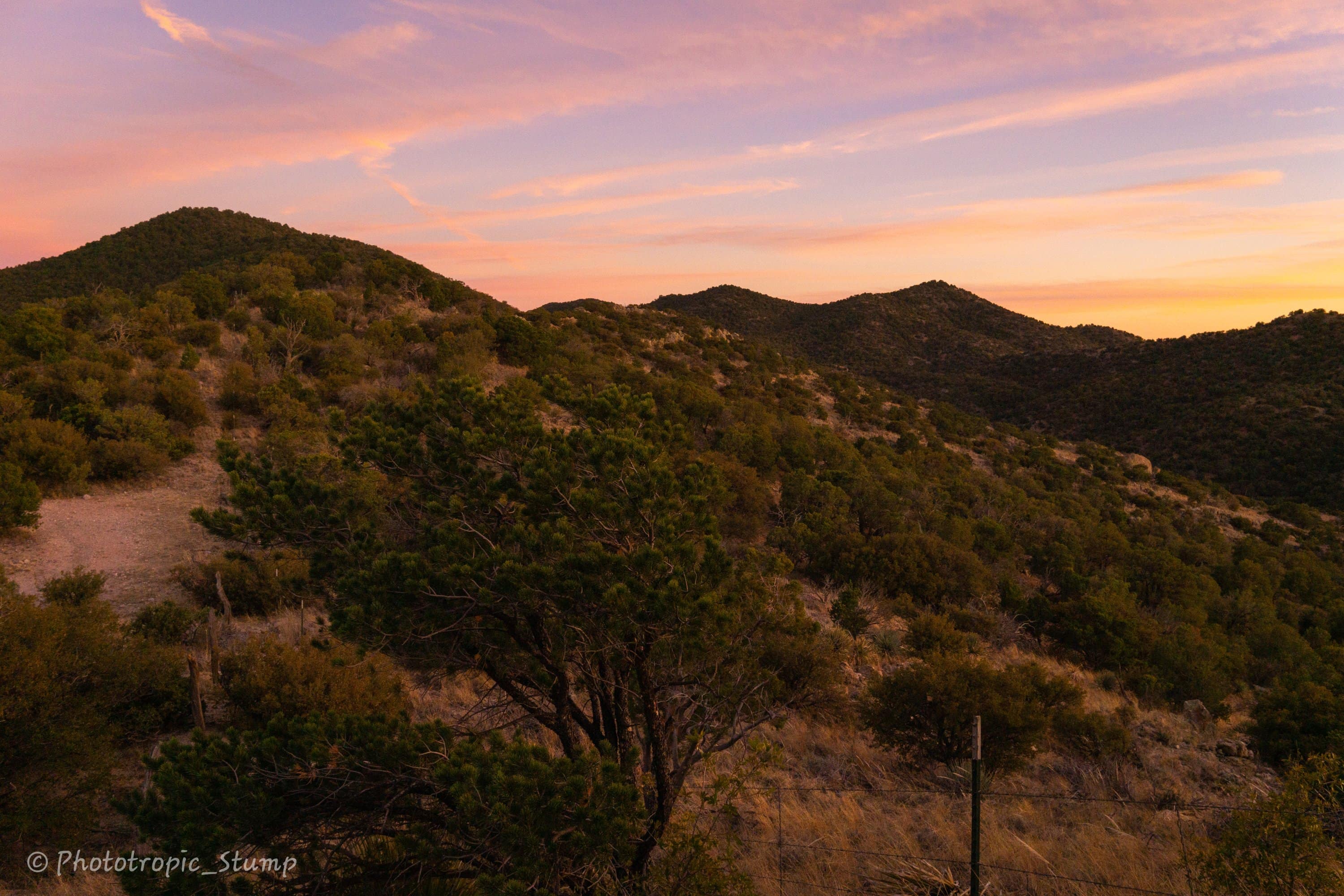
After the best night of rest we have had on trail, we enjoyed our lazy morning with a great view. We got off to a late start, and did not make it very far before we had to stop in order to replenish our water supply. Around eleven o’clock we finally got our move on and made our way up one of many small passes in the west Canelo hills.
The views from the passes extend so far as to see several mountain ranges in every direction. Looking to the south, you can see the foothills of the Huachucas leading up to Granite, Carr and Miller Peaks. To the north and east lie the Whetstones and the Dragoons. To the northwest stands a snowy Wrightson, winding down to the land of the Stumps and Mt. Fagan…
Much to our surprise, we saw no other hikers today – just a lot of cows… While water sources are becoming more scarce, the abundance of water is just amazing. In many places here it takes on a bright aqua hue, that which I would normally associate with glacial till or leech fields. It’s source here is a mystery to me.
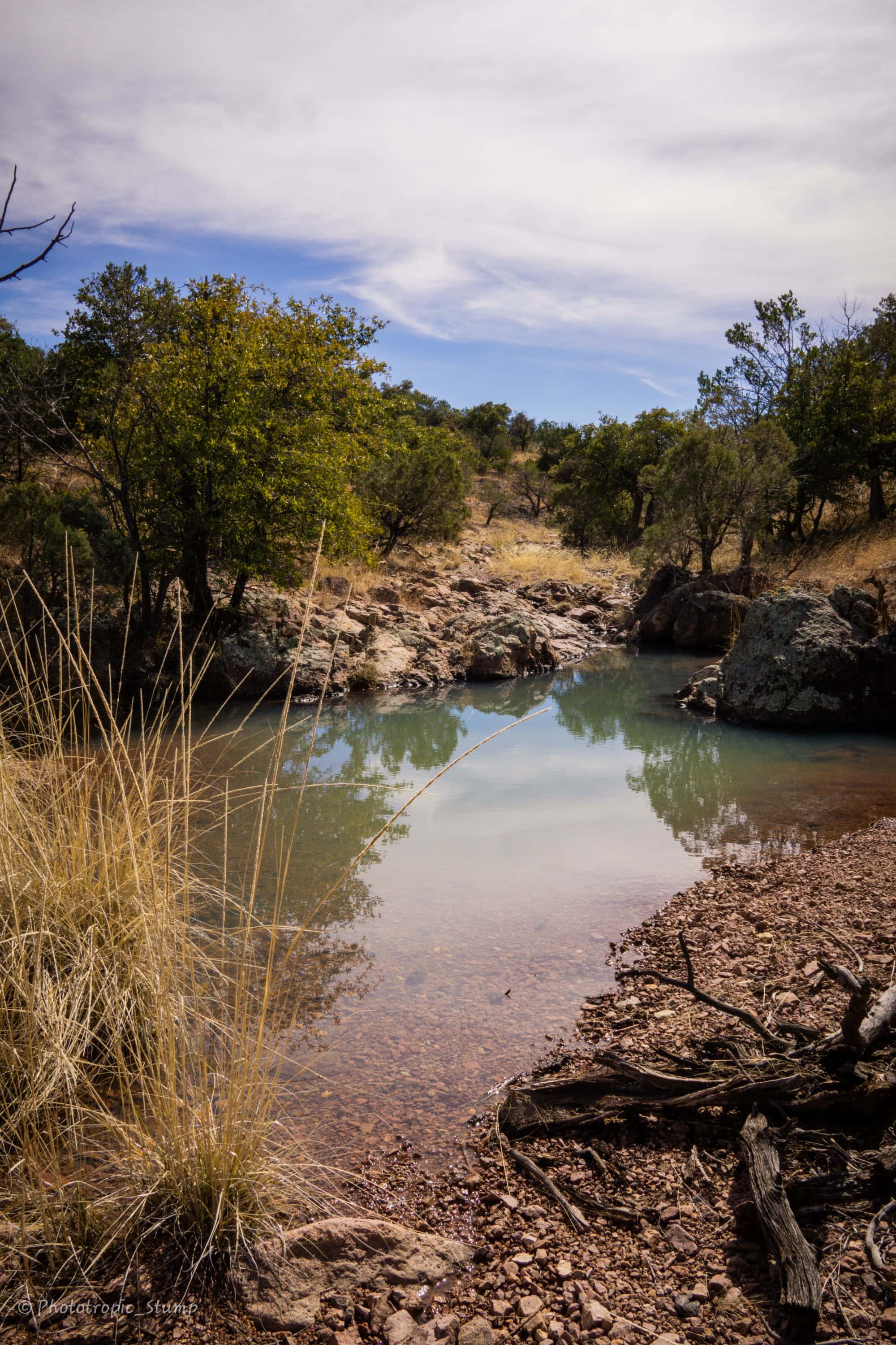
The following morning we walked the remaining six miles into Patagonia, where we connected with some friends who live in town. Next stop las Santa Rita montañas!
Cheers from Patagonia!
Stump & Mandalynn
