Last of the White Blazes

Oh Virginia
October 26, 2019It is strange how the intangible notion of a state boundary line affects us mentally. Perhaps it is the real manifestation of progress that it alludes to, or the idea that the grass is always greener on the other side of the fence. Whatever the notion is, reaching the Tennessee border raised our spirits more than we could know. With the Virginia blues behind us, we began to see the trail with fresh eyes, with a southern terminus just over the horizon.
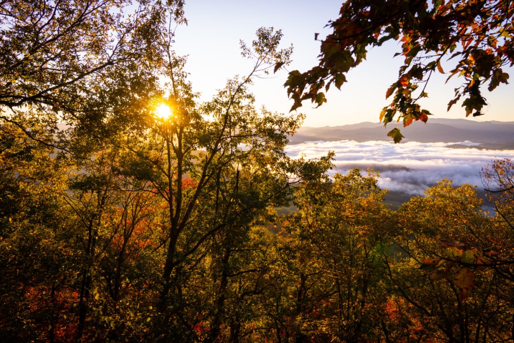
Our first full day in Tennessee was a beautiful one, but we certainly had to work for it. The ridge walking through there provided us with some good views amidst the fall foliage, but there seemed to be a never ending amount of small climbs as we followed the crest of the mountains.
Trying to get into town before the post office closed, and before more inclement weather moved in, we found an alternate route around Buck Mountain that seemed to shave a few miles off of our day. It ended up being one of the more enjoyable alternates we’d taken, filled with old forgotten apple trees laden with fruit. After picking as much as we could carry, and photographing many of the exceptional trees along the roadway, we dropped down to the infamous Station 19e.
With an extensive bar down stairs and a hostel up top, the station was the only place you could buy alcohol in that dry county. How they circumvented those laws remains a mystery, but the locals flock to it just the same. Thanks to the pour-it-forward program, a trail angel called ahead and payed a generous tab for our trail family before we arrived…
With pool tables and more karaoke at our disposal, we had an excellent time well into the evening. The next day only brought high winds and more rain, so rather than hiking on, we agreed to another day of work-for-stay. As it was now Saturday, the station was bringing in a world class harmonica player to play with a few local session musicians. Locals, hikers, and everyone in-between piled in for the show, and what a show it was! To date I have never heard someone play harp like that, or even come close for that matter. Joined by a local gun of a guitar player, it was a real treat for the evening. An amazing set filled with Muddy Waters, Taj Mahal, Jimi Hendrix and beyond, it was far superior to camping out in the howling wind and freezing cold.
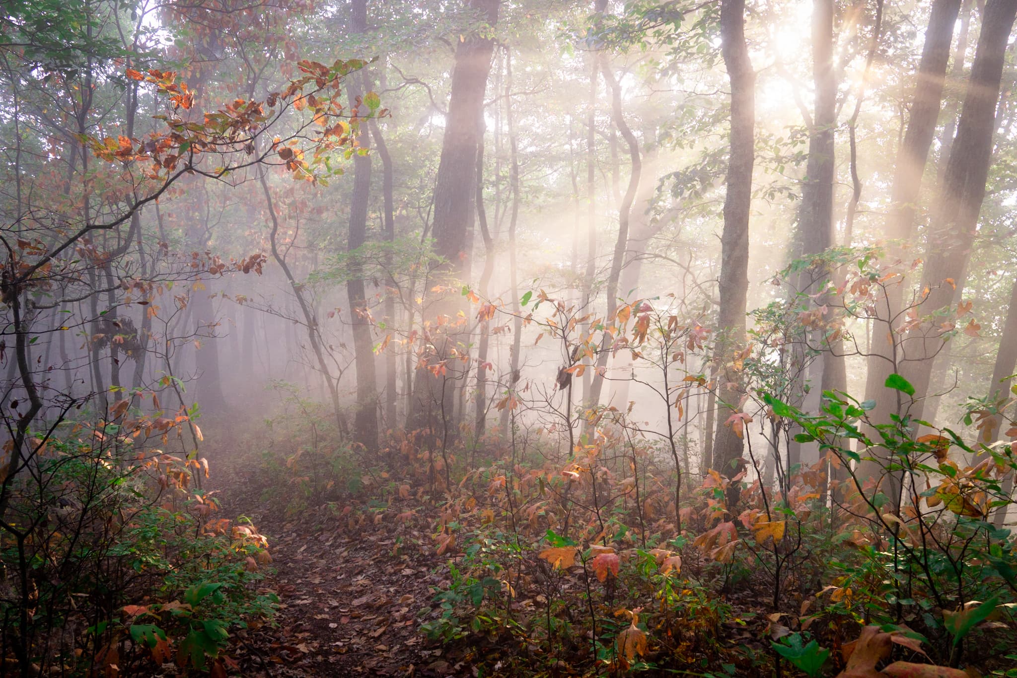
With a beautiful day to follow, we had no remaining excuses to stay in town, and finally hiked out. As we made our way up to Roan Mountain, one of the tallest peaks in the area, we were thankful that we had good weather for the climb. Once we got up above 5000ft, the views opened up dramatically, and brightened our day. Thanks to the wind storm twenty-four hours earlier, many of the dying leaves had been blown down from the branches, letting significantly more light down into the understory.
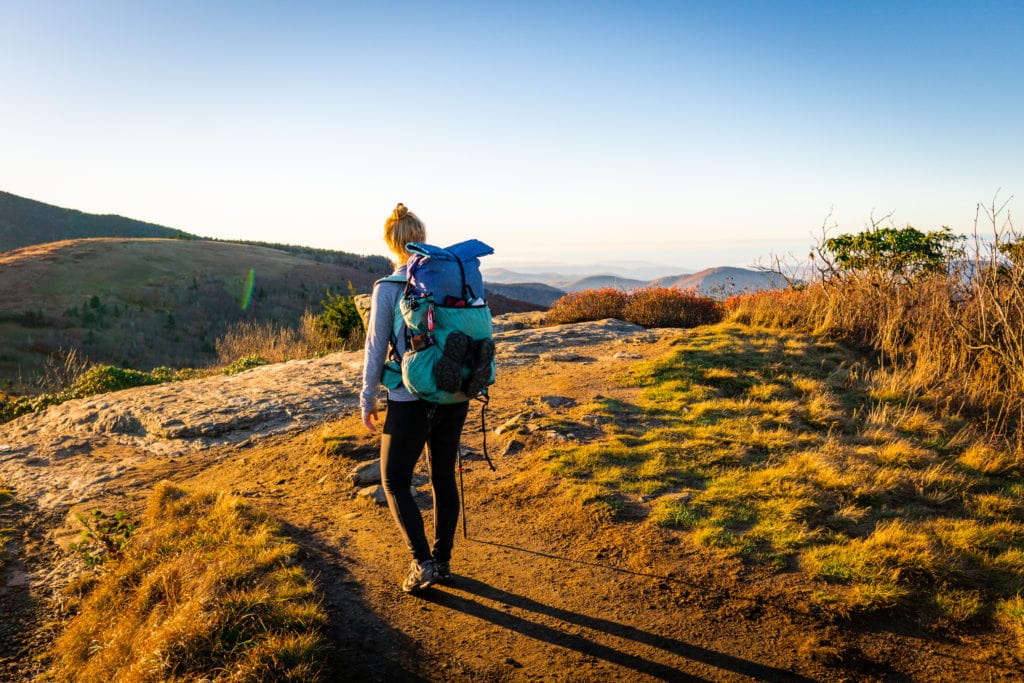
In our final approach to Roan Mountain and the highest shelter on trail, we crossed over Grassy Ridge right as the sun began to sink low on the horizon. From the ridge we dropped down to a couple smaller bald mountains with even more spectacular views just in time for sunset. A gaggle of day hikers joined us for the views, coming up from the nearby trail head. As we made our terminal ascent up to the High Knob shelter, we were walking in the dark, below the thick canopy of evergreens. At 6100ft, it was our highest camp of the trail, but thankfully the shelter was outfitted with four walls and a door to keep out the cold.
Our night was surprisingly one of the warmest nights we’ve had since the cold weather moved in a few weeks prior. But every day the sun seems to come up all the later, slowing down our mornings immensely.
The next day started with a big descent of 2000ft down from the highlands to Hughes Gap. With a steady grade we cruised right down, only to start up another big climb up to Little Rock Knob. From here we bounced along the ridgeline from one wooded summit to the next.
Walking along the state line between Tennessee and North Carolina -along the Appalachian crest, we caught the last of the sun coming through the golden foliage. Dropping into Cherry Gap, we ended our day at the shelter and in the company of the wind.
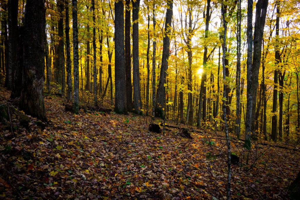
Thanks to our unreliable air mattresses, we enjoyed a poor night’s rest before waking up groggy, tired and grumpy. But we packed our things in the morning light, and were thankful for another day of beautiful weather. Just as we were about to leave, a hiker wandered into or camp, and immediately started giving us a hard time for being hiker trash. An endearing term among thru-hikers, we invited him to sit and began to introduce ourselves. Much to our surprise, this mystery hiker who called himself Top, was also a SoBo, and started less than a week after us up in Maine. How he escaped us for so long remains a great mystery, but the company of a new SoBo was an exciting start to the day.
We left the Cherry Gap shelter behind and began a long and gradual climb up to Unaka mountain. But what goes up must certainly come down, and we hardly stopped at the top of the wooded summit. Dropping down into Deep Gap, we found an alternate route along a dirt road meandering alongside the trail.
We followed the road up to Beauty Spot Mountain, where we took a short lunch break and took in the views. It was a surprisingly warm ridge walk as we made our way down the other side, and slowly our expansive views disappeared back into the rhododendron jungle.
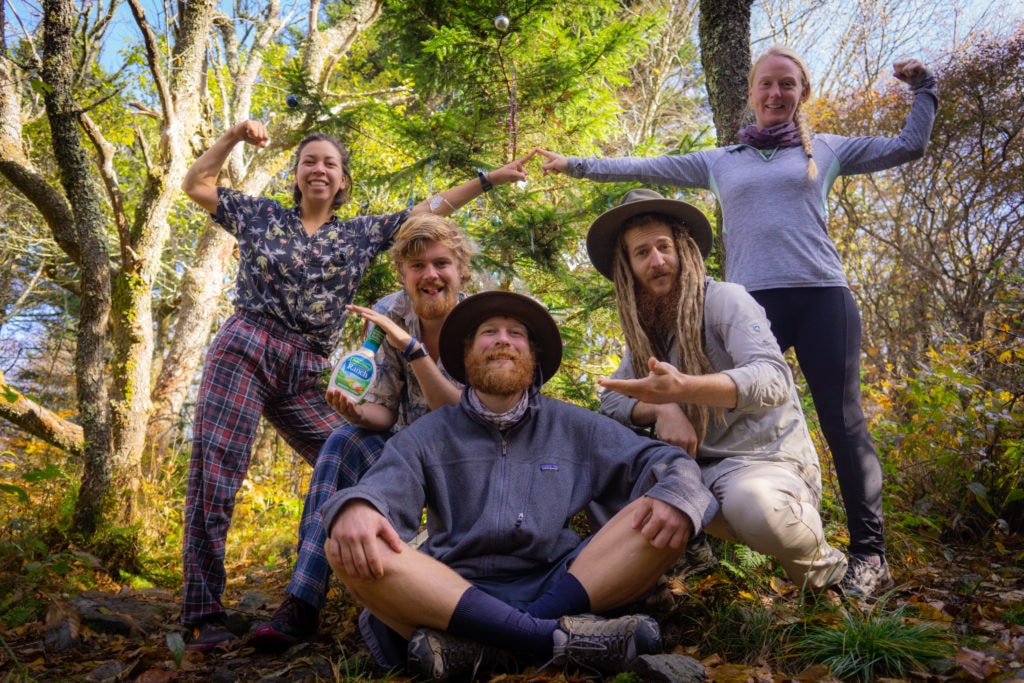
On our way down we came across a seemingly random Christmas tree, decorated with streamers, ornaments and tinsel. A little book at the base of the tree informed us that it was a memorial to someone who had taken their life, and the book invited hikers to write down thoughts for the folks they loved. It was a sweet notion and way of remembering, and before we left we took a Christmas family photo – though the timing might have been a little off.
Getting close to the town of Erwin on the Nolichucky River, we found some old roads that looked like another promising alternative route. We followed these for a couple miles making good time, until we had to bushwhack our way back to the trail. As soon as we dropped off the ancient road grade, we found ourselves wading through the dense entanglement of rhododendrons trying to get back to the trail. While we didn’t have far to go, it seemed to take forever, and along the way I managed to tear my shirt and destroy my hiking sandals for good. Let that be another lesson learned the hard way.
When we got into Erwin, we were picked up by an old friend from the PCT -Medicine Man. After gorging ourselves and restocking our condiment supply at the local Taco Bell, Medicine Man drove us back to Asheville, North Carolina for the night. We stopped into the REI there and replaced our sleeping pads, before going out for some amazing vegan ice cream and heading back to Medicine Man’s house.
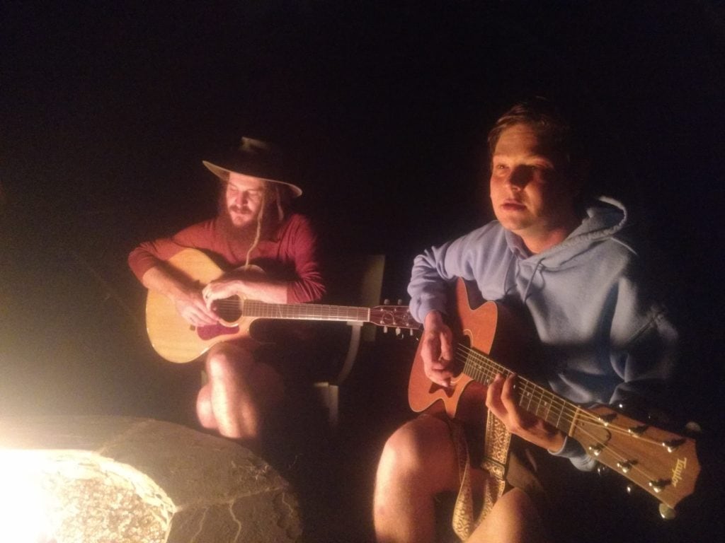
As the rain found us once again, having a big bed and roof over our head couldn’t have come at a better time. It may not have been how we envisioned our day ending, but that’s just a part of the adventure….
When morning came around, Medicine Man treated us to vegan biscuits and gravy from the local Biscuit Head restaurant. While it is usually one of my favorite breakfasts, we rarely find a form of it that we can eat. Needless to say it was a delicious treat…
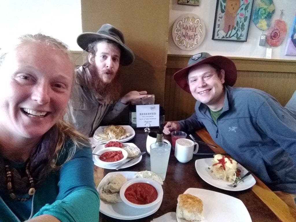
After wrapping up, Medicine Man gave a nickel tour of Ashville before taking us back to the trail, where we reconnected with the rest of our hiking companions. But we didn’t actually get to hiking as some friends from New Hampshire kidnapped us for Halloween. From one distraction to the next, Pelican and Zoltan took the whole trail family into Knoxville, Tennessee, where Zoltan’s grandmother still had a house. With her permission, we turned it into a hiker B&B and made preparations for the 31st. Mandalynn went to the thrift store and found a onesie Teenage Mutant Ninja Turtle costume for $6, as well as some accessories to turn herself into a tub of Fluff – everything we needed for a successful halloween was coming together.

We spent the night on the town to see what it had to offer, and we were not disappointed. After wearing ourselves out socially, we back to our home base and crashed hard, satisfied that we had properly celebrated halloween. When we got up in the morning, we made another big breakfast before cleaning grandmas house from top to bottom – the least we could do since she opened her home up to us.
We didn’t actually get to hiking until late that afternoon, but we still made a good six miles up the No Business Knob Shelter. It ended up being a very cold night, but crowded into the shelter, we stayed warm enough and slept like stones. The morning didn’t seem to bring any warmth with it, and it took us quite a while to get moving. But eventually we got to it, and made a slow five miles to Spivey gap where we had a pleasant surprise waiting for us. Jan, whom we had met on the second day of our journey and hiked extensively with in New England, had just completed his hike, rented a car, and was now on the move. He decidedly tracked us down at Spivey gap and dropped in for a visit before headed back home to the Netherlands.
We spent the remainder of our day making our way into the town of Hot Springs, where some relatives of our Wags, one of our hiking companions, had rented a small cottage in town. They invited us to join them, and even cooked up a vegan nacho salad dinner for all. As they had grown up as 7th day adventists, cooking a vegetarian meal was nothing new for them.
We took a zero that Sunday, and enjoyed a long and lazy morning filled with more great food. As the rest of our companions were a day behind, we figured we would give them an opportunity to catch up; moreover we weren’t feeling particularly motivated to hike out into the freezing weather than never seemed to let up. We met some old friends from Olympia, Washington for dinner that night, geeking out on plants and mushrooms in the company of other enthusiasts. While we have had a lot of friends visit us on trail, these were the first ones that we hadn’t met through the hiking world. After dinner, we returned to our cottage and went to bed early, readying ourselves to get back on trail.
With the convenience and warmth of the cottage, rising early was not the chore it normally was, and we enjoyed getting ready for the day in the comfort of climate control. We still didn’t start the day terribly early, but better than average compared to the past few weeks.
After making a few donations to the local hiker box on our way out of town, we started up a cold steep climb out of Hot Springs. After a few miles we topped out on the ridgeline, and enjoyed a pleasant meander with abundant views. As the leaves continue to come down, our visibility through the trees continue to increase, opening up vistas that were otherwise choked out with foliage.
Some time around mid morning we departed the trail for an alternate route around Bluff Mountain – a 2000ft climb complete with wooded summit and minimal views. The alternate took us along some old woods roads, weaving and bobbing through the Tennessee hills. At one point we happened upon an old abandoned farm / homestead, seemingly from the 20’s. We wandered around and marveled at our find, before taking a few pictures and moving along.
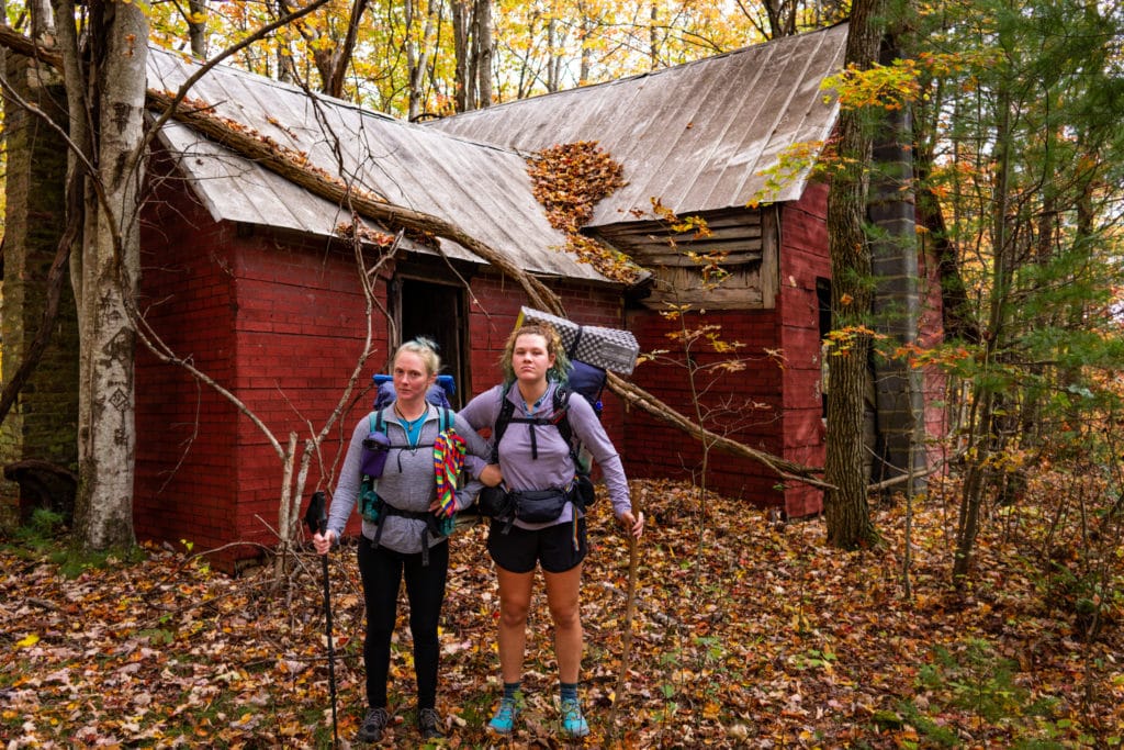
Further down the alternate, we came into a forgotten apple orchard, with at least half a dozen different varieties of apples. We wandered around for a good while trying to find some that were low enough to pick, and gorged ourselves when we did – the great Appalachian Trail apple sampler.
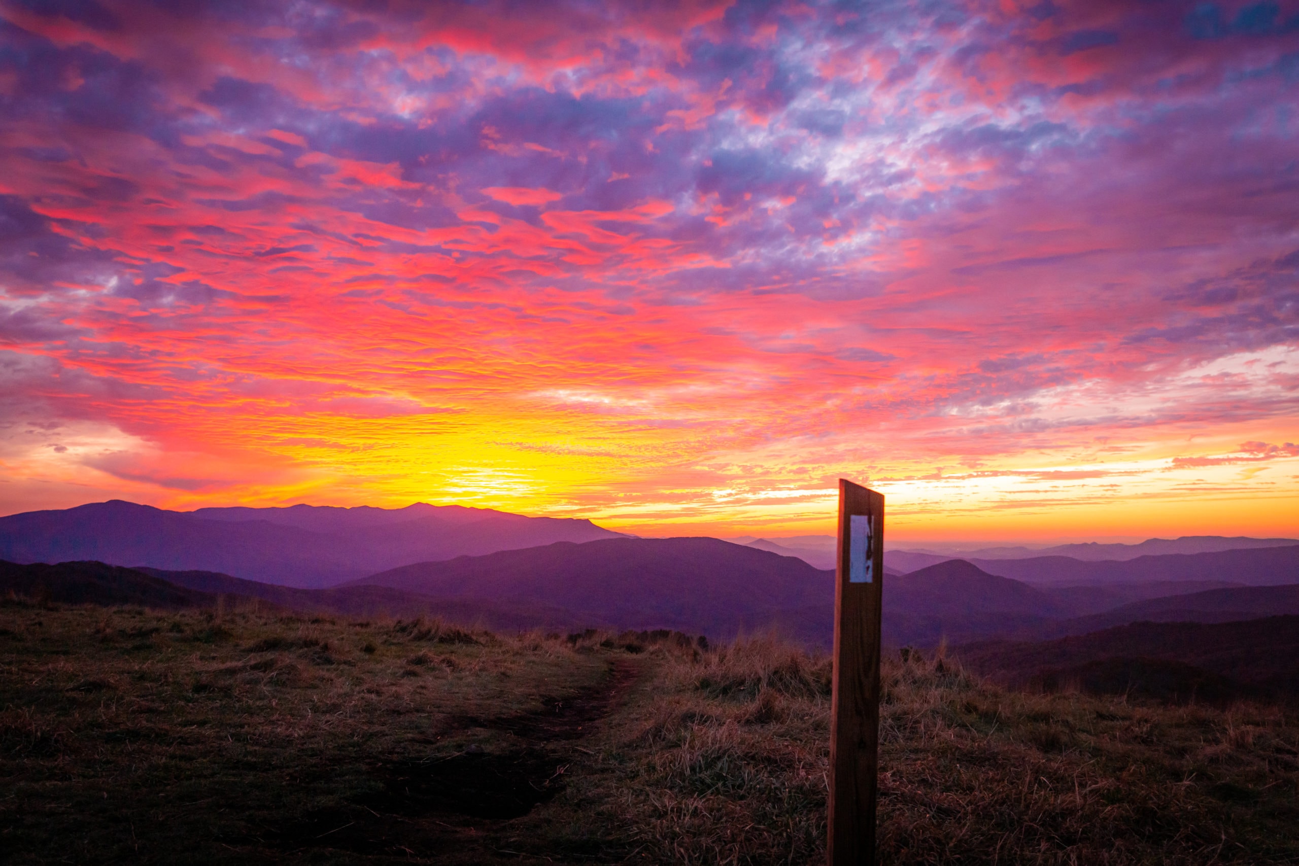
After connecting into a couple more roads, we hiked up to the summit of Max Patch mountain just in time for sunset. With 360° views, the colors came on slow and lasted forever, putting on a magnificent show all the while. Without a doubt it was one of the best sunsets we have seen out East. But good views usually mean open exposure, and this was no exception. As the colors faded, the temperature plummeted and the wind picked up. By 6:30pm we were in the sleeping bag for the night, waiting for the warmth of the coming day – the sacrifice for a beautiful camp.
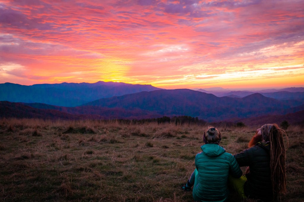
While we were warm enough when we first laid down, the wind only blew harder as the night progressed, howling in our faces after a couple of hours. Cowboy camped beneath the open sky, the wind caught our sleeping bag and inflated it like a great down balloon, stealing our hard earned warmth all the while.
After we finally fell asleep, we were rudely awaken by a barrage of head lamps and the unmistakable shouting of teenagers. “BILL! BILL! WHERE ARE YOU?!” After a good thirty minutes of this, they finally wandered off the summit to the East and we did not hear from them for the rest of the night.
Next we were awoken to all our comrades giving up on cowboy camping, and hastily setting up their tents in the cold dark wind. Strong enough at this point that every time they pitched the tent body, the wind would catch it, and flatten the whole frame into the ground. Eventually they got it sorted out, but it was an entertaining show in the meantime – and a good excuse to look up at the at the gleaming stars.
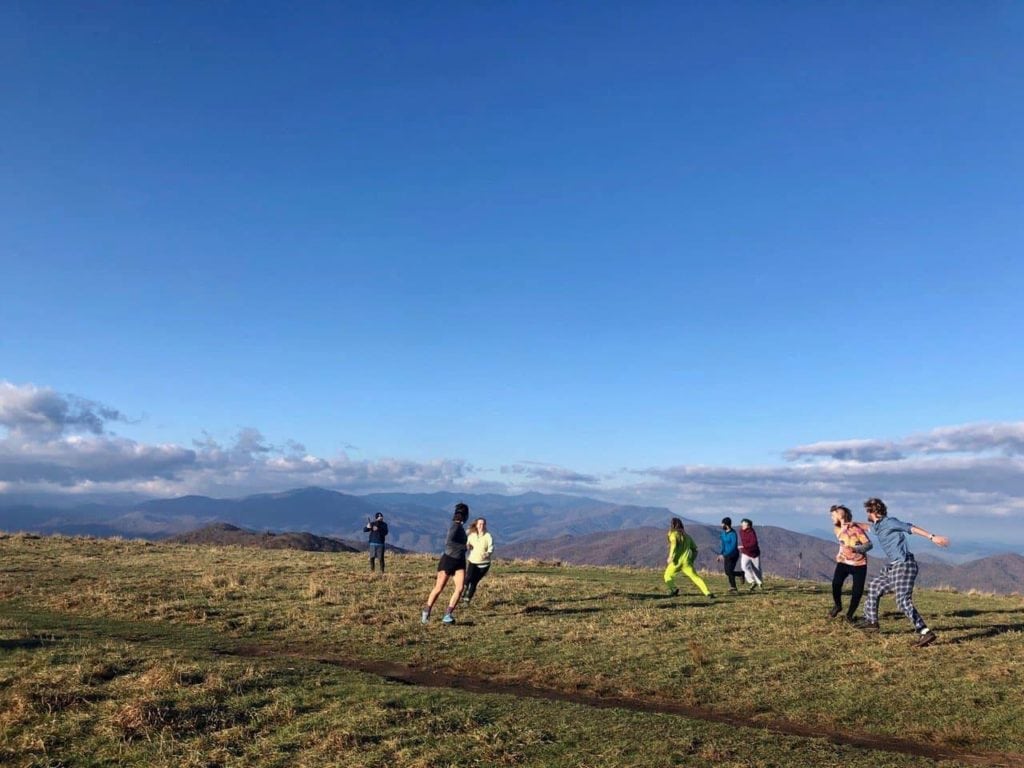
Lastly we were awoken by another group of teenagers, who came up a couple hours before the sunrise. At this point the whole night seemed to be one big joke, so this just seemed to be par for the course. When the sun began to rise around six thirty, we were eager to get out of our sleeping bags and give up on the facade of sleep. As one thing led to another, in our retaliation of ridiculousness, we began shouting, “BILL? IS THAT YOU BILL? BILL?” back to the teenagers. With about a dozen hikers participating, they quickly got the point and disappeared again. We then commenced one of the most epic games of frisbee – nerf – football to ever be played atop a mountain during sunrise. One of the most memorable mornings of the entire trail.
Eventually we got to hiking, a series of long climbs and falls before dropping several thousand feet all the way to the Pigeon River. We took a short break at the Standing Bear Hostel, filled our canteens and then started up the other side of the river basin, the start of the Great Smokey Mountains. Looking up at them from the river, they were some of the most prominent peaks we have seen since New England. We only made it part way up the climb before setting up camp at the Davenport Shelter. With stone walls and a built in fireplace, it was a needed change from the windy mountain top the night before.
We left camp well rested in the morning, and began one of our biggest climbs in quite a while. Even though we had already climbed over a 1000ft into camp the previous evening, we still had over 4000ft of gain before we finally reached the wooded summit of Mt. Guyot – our first prominent peak of the Smokies.

Thankfully it was a cool crisp day, and the sun was shining bright, the perfect conditions for a big climb. We enjoyed some open views from many of the ridgelines along our ascent, though it would seem that the colors up in the mountains have already moved on; the trail crunched beneath our feet with every step, as we sloshed through the dead tree debris.
We topped off our bottles at the summit spring, one of the highest springs we’ve seen on trail, coming in at 6300ft. After taking a short warm up break in a pocket of sun, we bounced along the ridgeline down to our camp for the night at the Peck’s Corner Shelter. We were less than thrilled when we discovered it was a half mile off trail, and downhill at that, but at least it was also outfitted with a stone fireplace to keep the cold at bay. We had a hard time getting the fire going with wet wood, but eventually Mandalynn got it lit, and the shelter warmed right up. A nice treat to an exhausting day.
We didn’t get a particularly early start the next day, but we seemed to care less about our departure time with each passing day. We knew that a cold front was on its way, and we could see evidence of this from the high ridgelines. Thankfully the clouds had not sunk so low that they obscured our views, but we could tell that it wouldn’t last long. By the time we got to Charlie’s Bunion, an amazing rock outcropping, the last of our views slowly became socked in.
We took a break at the Ice Water Spring Shelter, and just after our arrival, the rain began to pour down. We waited twenty minutes or so, and lucky for us, the rain began to let up. We knew our cue, and immediately began hiking straight down to New Found Gap. By the time we got there, the rain began to pick back up, which made hitch-hiking rather difficult. But after fifteen minutes or so of standing out in the cold, we got a ride down the mountain into the Gatlinburg, Tennesee.
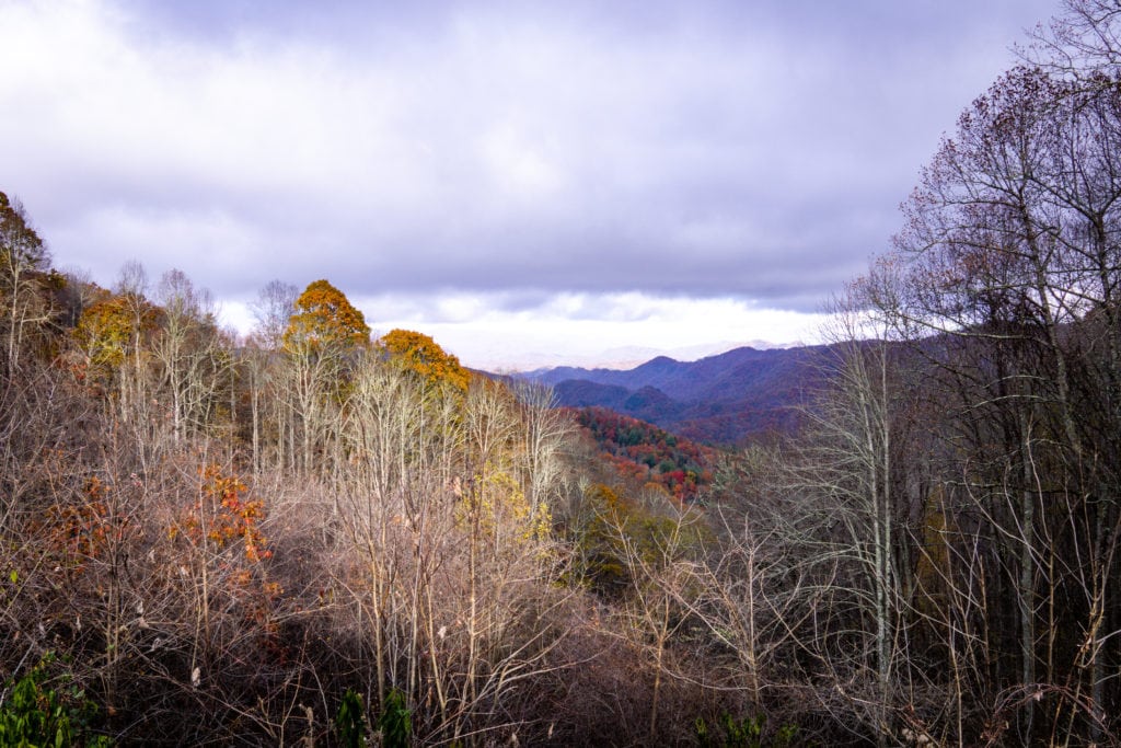
Best described as a red-neck Las Vegas fixated on moonshine, we had a bit of culture shock as we made our way down the strip. In all fairness, I’m sure we gathered our fair share of second looks, but in our state of disbelief, we hardly noticed. Once we were in town, we connected with a local trail angel who lived just outside of town who took in hikers.
Known as the Lodge of Legends, we had no expectations coming in, and were totally blown away by the time we left. As one of the most intentional, well thought out spaces we had seen on trail, we felt blessed to be in the company of such kind-hearted people. The house was filled with absolutely everything a thru-hiker could need, from a full vegan resupply to frozen pizzas and veggie burgers for immediate consumption. We slept heavenly in a big bed, and when we awoke in the morning we were informed that the road going up the mountain was now closed due to snow and ice.
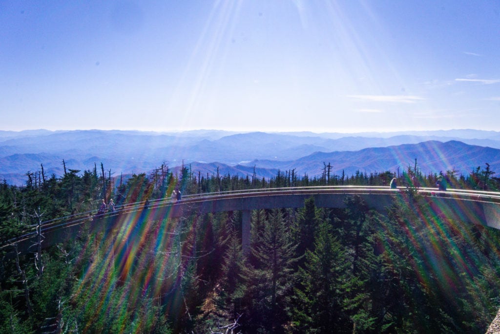
Without much of a choice, we spent another night at the lodge, thankful that it was still available. We hatched a plan for the next day that none could refuse, and put it into action the following morning once the road opened back up. Leaving our backpacks at the local outfitter in town, we hitchhiked up the mountain to the highest point on trail – Clingman’s Dome. From here we actually hiked North back to where we had previously gotten off at New Found Gap, conveniently downhill the whole way. Along the way we ran into another big trail family that we had been bouncing around, whom we fondly referred to as, “The Kids.”
With our trail families combined, the fifteen of us took a break on the side of the trail. Each time another group of day hikers would pass by, we formed a human tunnel and cheered them on as they went through. The day hikers seemed quite confused, but we were having fun, and it was evident that it was all in good spirit. While we had hoped to catch them again the next day, this ended up being the last time we saw anyone from that trail family -at least we went out with a memorable bang.
We finished the rest of our day hike back to New Found Gap, and caught a ride back into town where our packs were waiting for us. One of the folks whom we’d been hiking with had a time-share for his birthday, and invited us all to share it with him. With a hot tub at our disposal, we could not refuse. We watched Mark Wahlberg films late into the evening before finally falling asleep sometime around actual midnight -the latest we had stayed up in a very long time.
The next morning we felt and looked like zombies when we got up at our usual time, but we got up and began going through the mechanical process of putting our packs back together. After triple checking the condo for anything we might have left behind, we went out to the road and attempted to catch a ride from the condo back into town.
Thankfully we didn’t have too much difficulty, and two young women on a weekend adventure picked us up. They told us it was the first time they had ever picked up hitchhikers, and as we explained what we were doing out there, they became intrigued. They ended up buying us breakfast and taking a selfie with us before dropping us off in town -certainly one of our better hitches. Hopefully that will be two more people in the world willing to pick up hitchhikers…
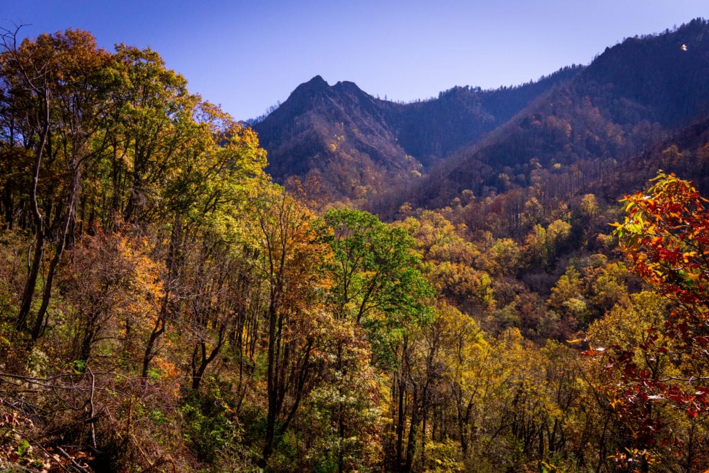
We got up to Clingman’s Dome with far less difficulty than the day before, and began our descent a little after noon. The going was easy and the weather was beautiful, making for an excellent afternoon. The ridge walking through there was exceptional, providing panoramic mountain views from all sides. We rolled into camp just before dark, and setup as quickly as we could before the temperature began to drop.
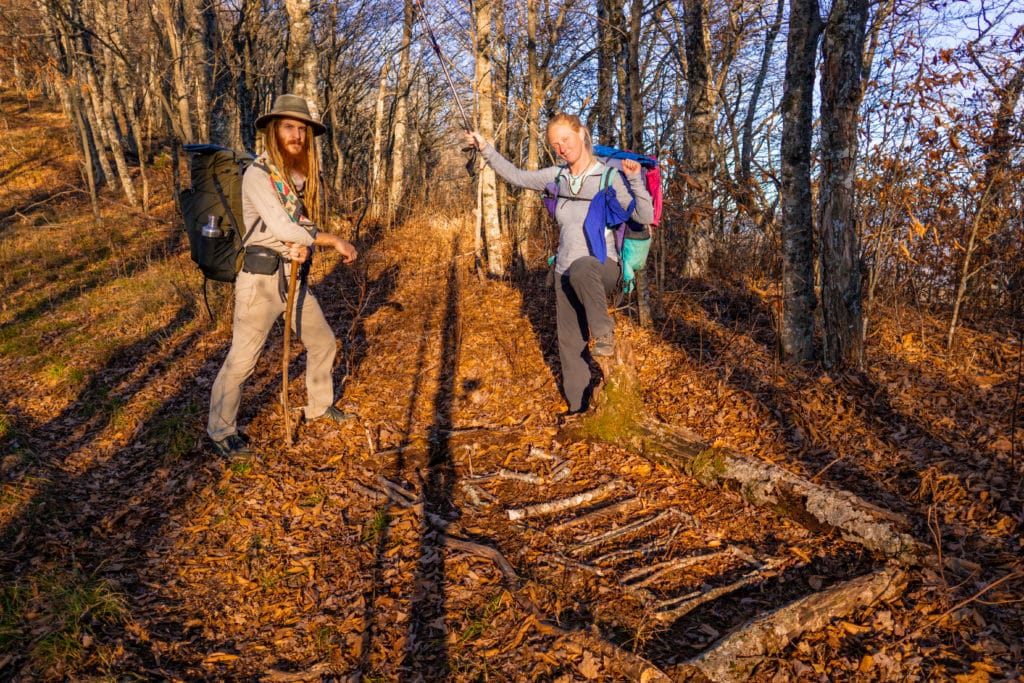
The night was warmer than the evening led us to believe, or perhaps the tarp trapped in just the right amount of heat; in the morning frost was all around, but everything beneath the tarp was warm, dry and frost-free!
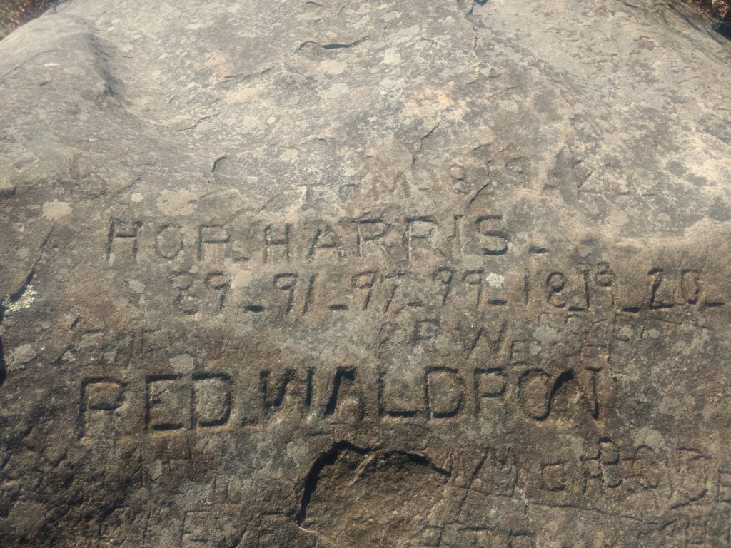
We left camp and made a few steep climbs before reaching the high point of our day – the famous Rocky Top Mountain of Tennessee. One of the first summits with a natural view that we have seen in a long time, we took our first break of the morning and looked back at the Smokey Mountains from which we came. On the summit was a rock with names and dates carved all over it – most dating from the late 1800’s through early 1900’s. But some of the names were so faded to time, that they had become all but erased from the stone face.
As we dropped down the other side of the mountain into the Spence Field Shelter, we found a lesser traveled alternate route that wound down through the canyon along side Eagle Creek. Aside from the abundance of water, the route also promised more fall colors – something that had already moved on at higher elevations.
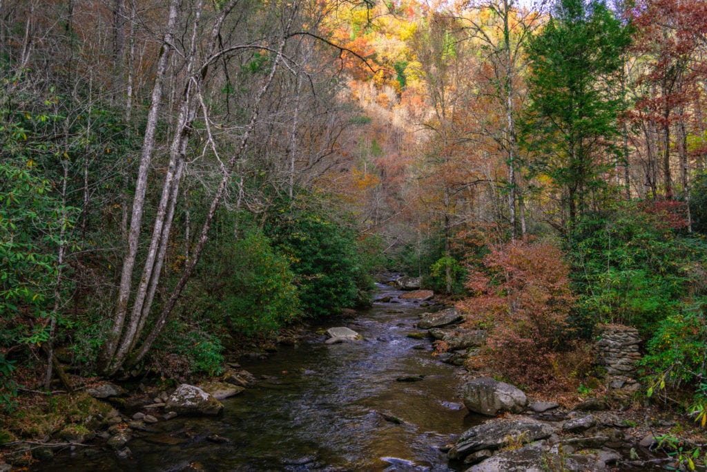
Sure enough we found both of these things to our hearts content. As we quickly dropped down the canyon, foliage began to reappear on the trees, and the creek beside us slowly grew. We crossed it frequently, bouncing from one side of the canyon to the other as the trail dictated, but the further downstream we hiked, the more difficult the stream crossings became. After at least a dozen crossings where we were able to keep our feet dry, hopping from rock to rock, we finally threw in the towel and forded through the water for the remaining eight or nine crossings, soaking our feet in the process.
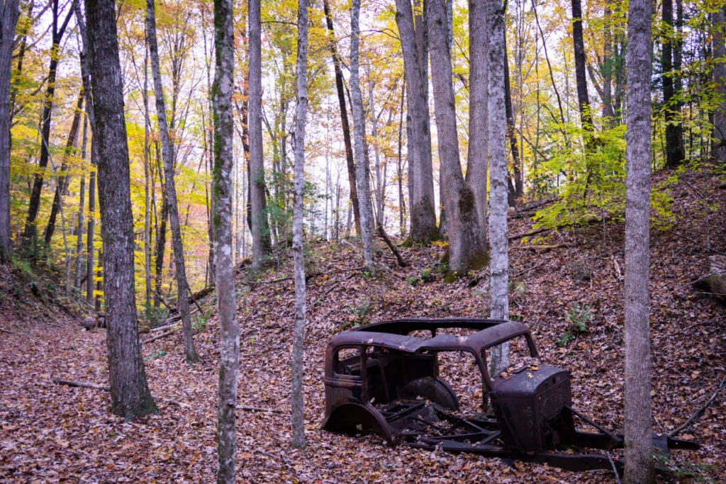
After nine miles down the canyon, we joined the Fontana Lakeshore Trail, wrapping around the water to the North. Here the trees colors were most spectacular, and we found the remnants of many long abandoned automobiles lost in the woods.
From the Lakeshore Trail we reconnected into the Appalachian trail just as it crossed over Fontana Dam. At this point the sun had already set, so we crossed the dam in the dark, illuminated only by the round florescent lights that dotted the rim of the dam, like port windows on a big ship.
We dropped into the Fontana Dam shelter for the night, better known as the Fontana Hilton. With heated bathrooms, complete with running water and hot showers, an extensive two-story shelter, and even trash cans, it is one of the most luxurious shelters we’ve have seen the whole trail.
The rain seemed to pick up just as we laid down for the night, and only came down harder the longer we listened. Surprisingly it was warm enough for the first half of the night, but sometime in the early hours of the morning, the cold front finally moved in, freezing everything in its place.
We awoke to a light drizzle coming out of the low blanket of gray clouds that hugged the mountains. Being at such a low elevation, there was only the faintest evidence of snow, but that would all change once we began to climb up and out of the basin. The climb warmed us right up at first, but soon we came around to the north face of peak, where the wind blew cold ice relentlessly in our faces. One had a dull feeling of brain freeze at all times, only made worse when we tried to drink our freezing water.
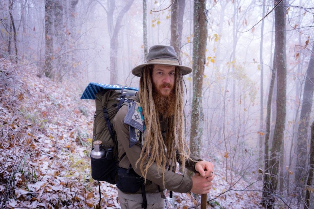
Nonetheless the mountains were serene amidst the trying conditions. Frozen droplets of water hung from every leaf, while delicate crystals formed on the needles of the pines. With the dying colors of autumn crying out beneath the muting snow, the day seemed to mark the end of another season, and the coming of winter.
With the temperature dropping into the teens for the night, we opted for a night at the Wolf Creek Hostel down from Stecoah gap. A hot shower and warm bed were never so appreciated.
We enjoyed the warmth of the hostel well into the morning, and didn’t leave till nearly lunch time. Even then the ambient temperature was still below freezing, but warmer than it had been before.
The sun was out in all its glory, trying to heat up the frigid world ever so slowly. By mid afternoon the trees were all melting the residual ice they had built up, but a cold wind was still blowing. We took a needed break atop Cheoah Bald, the high point of the day, before dropping way down to the Nanatahala River valley, a drop of several thousand feet. The famous outdoor center there was all closed up for the night when we arrived, so we pushed on another mile into the night to the nearest shelter. Warmer than it was down by the river, we enjoyed the cozy little shelter to ourselves, and dreamed the night away.
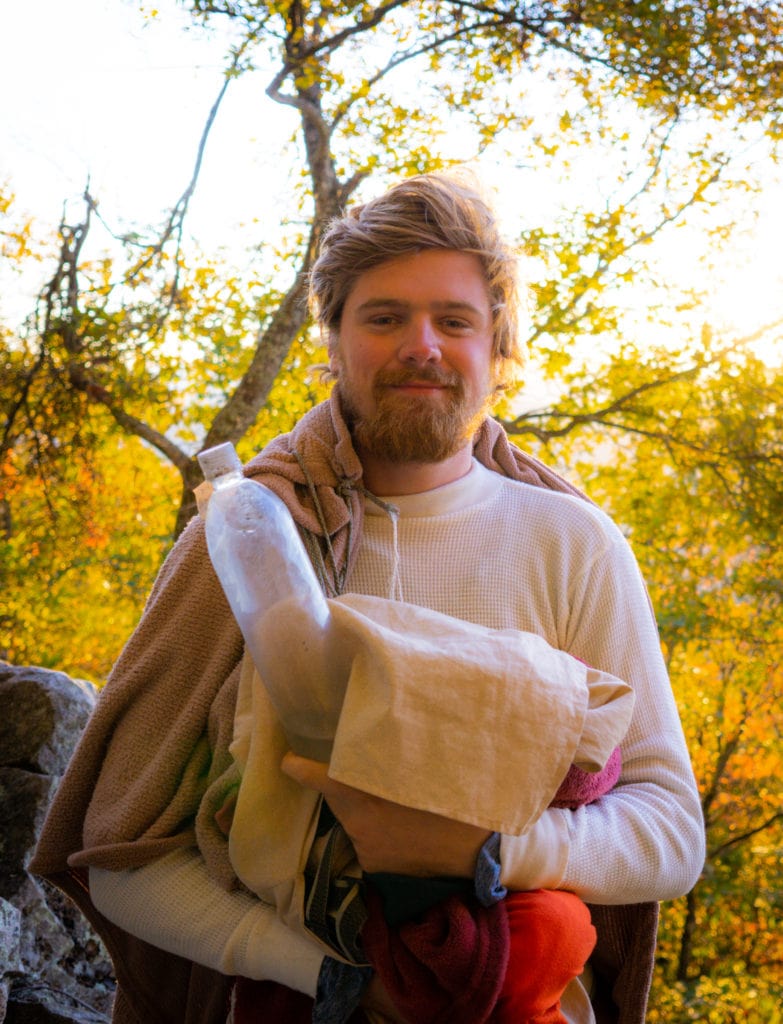
We felt cold blooded when we first woke up, and waited for the sun to slowly warm us up before we left the haven of our sleeping bags. We left camp and continued our climb out of the Nanatahala River basin. In the cold it seemed that every muscle in our legs was burning with each step up.
We took a short break on Wesser Bald before engaging another long series of steep drops and climbs, eventually topping out at Rocky Bald and Copper Ridge. We made our camp at the base of Wayah Bald, just above 4700ft. At least the six of us packed into the cozy shelter stayed warm, a blessing on such a cold night.
Come morning, we climbed up the last thousand feet to the summit of Wayah Bald, crowned with a stone observation tower. As one of the highest points in North Carolina, we had an excellent view of the mountains that we found ourselves immersed in, clouds filling the canyons below us. The sun peaked through the upper layer of clouds just enough to spotlight those lower ones in the canyons, creating a truly majestic affect.
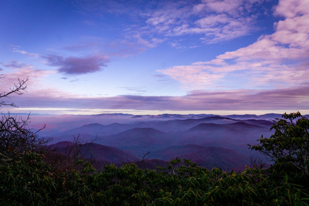
We dropped down a narrow ridgeline from the bald, down to Wayah Gap. After another climb up to Siler Bald, it was down into Winding Stair Gap. We had planned on four days worth of food, but with all the ups and down combined with the drop in temperature, we’d been consuming extra calories left and right; four days worth of rations turned quickly into two days. With that, we decided to hitch down to the town of Franklin for rations for the coming days.
Dropping our thumbs to the wind, got picked up by an eccentric local who runs a bed & breakfast. He kindly drove us to the grocery store, and then gave us a ride back to the trail after running an errand to the bank. We put in a few more miles before making camp at the Rock Gap Shelter, building a small fire as the night grew cold. The realization that our days on the trail were numbered, was an unspoken thought that was slowly growing among us, and it weighed heavy on everyone’s minds. So we sat around the fire and enjoyed every moment of it, as if it were the last.
Another morning brought another long climb, this one up to Albert Mountain. Adorned with a modern and well-kept fire tower, we took a morning break there, enjoying yet another perspective on the mountains from which we came.
As we left the tower, we branched off the main trail, and followed Bear Pen Gap down to the upper Nanatahala River. It was a well made trail, but hard to follow at times under the six or more inches of dead leaves. Once we joined the graded access road, it was easy going for a couple miles.
Eventually we had to climb back up to Beech Gap where we rejoined the official trail and took another break. Climbing up Standing Indian Mountain just in time for sunset, we caught the low burning hues of reds and oranges cast through a naked forest.
Soon after, we made camp at the shelter named after the mountain, and hunkered down for another cold night. Poised on a small but prominent knob, the shelter caught the last colors of dusk and first light of dawn surprisingly well.
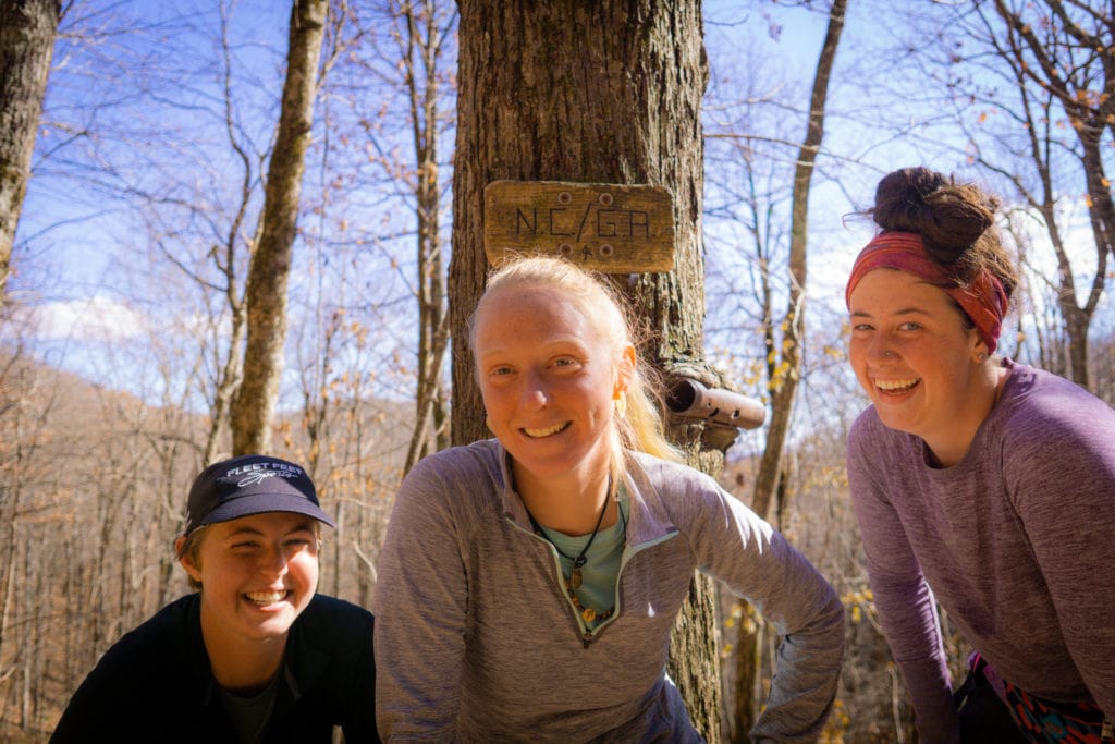
Running on the last of our rations, we got up in the morning eager to make it into our last trail town – Hiawassee. We only took a couple breaks, making good strides in between; but sometime in the early afternoon we came across a dull wooden sign on the side of the trail. The North Carolina – Georgia border had come at last, and it was bittersweet emotions all around – a tangible sign of the end.
A friend of someone we were hiking with provided trail magic in the form of a hotel room in town that night, which couldn’t have come at a better time. The cold weather drained the batteries on all our electronics, and in part, ourselves. We replenished our caloric reserves, took long hot showers, and did one last load of trail laundry before hitting the trail for the home stretch.
We didn’t get out of town as early as we had hoped, but between the post office, the continental breakfast, and the outfitters, we did pretty good. We made a trying eleven miles before making camp atop Tray mountain, on a cliff overlooking the valleys to the East. It was the first time we had slept outside the shelter in a good while, but the wide open view was too good to pass up.
The night was cold, but we slept well – and a good night’s rest went a long ways come the next morning. A new day brought another intense series of climbs and falls, rising and falling at least a 1000ft with each set. We took a lunch break at Unicoi gap, before making our last big climb of the day. We took advantage of decent cell service there, which had become a real rarity since our arrival into North Georgia. Connecting with the rest of our trail family who was still a good ways behind, we were trying to determine if they would be able to catch up in time to finish with us. Eventually they came to the conclusion that they would have to jump ahead a little ways in order to make it happen.
As we sat there enjoying the last of our break by the road, we saw a yellow pickup flying by, and as we looked closer, there was a familiar sight in the bed. A jumble of indistinguishable backpacks and hikers went by in a flash, undoubtedly thru-hikers. We couldn’t tell if it was the rest of our trail family, but we had a good suspicion. The truck did not stop though, and we never did see it turn around. After waiting for another ten minutes, we gave them a call and tried to piece together what we had just seen.
Evidently they had decided to jump from Dick’s Creek gap to town of Helen, a Bavarian themed tourist trap nine miles to the East. From here they planned to jump back on and meet us at Tesnatee Gap, some fifteen miles further south by trail. Once we learned of their plan, we quickly put our things together and began hiking, for the day was getting late and another fifteen miles meant hiking in dark. At least the mountains were more forgiving that afternoon, but it was still a long day at well over twenty-two miles.
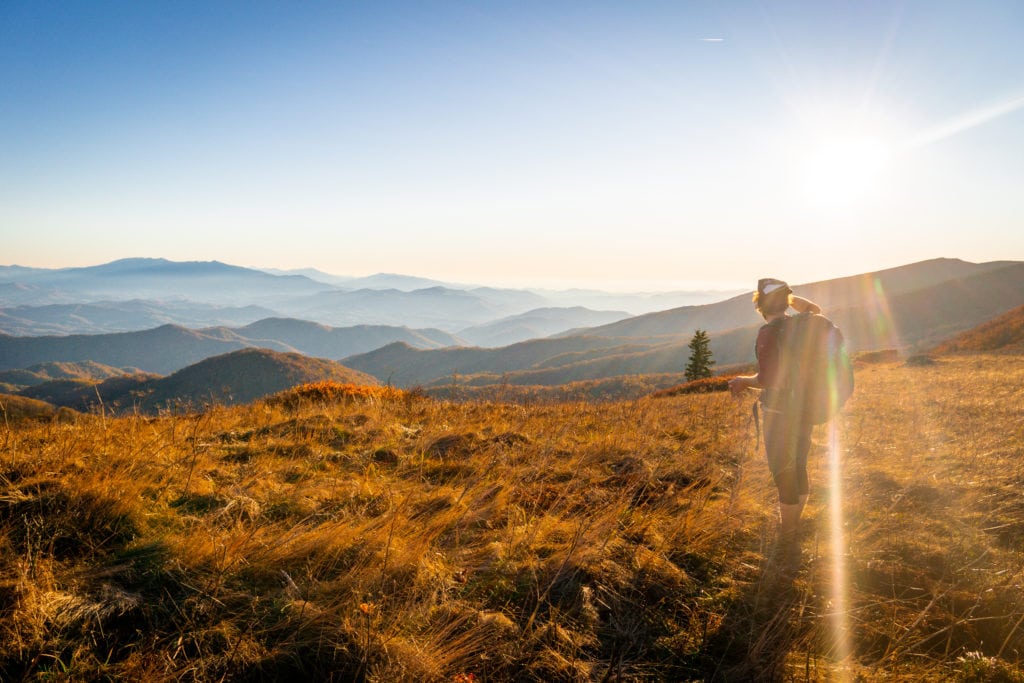
It had been over 160 miles since we had seen the rest of our trail family, and at last we were reunited in the dark at the picturesque Cowrock. A large monolithic cliff affording great views of greater Georgia and the stars above, it was a reunion to be remember. After staying up and talking well in the evening, we all slept out under the sky that night, excited that we would all finish together after all.
We woke up early the next day, fueled by the knowing that the end was insight and our companions were by our side. We made a quick five miles down to Neel Gap, one of those places that we had heard about for so long, and always seemed so far away. But when we arrived it seemed like a ghost town, just a well stocked outfitter and a massive tree strung up with hundreds of pairs of discarded shoes. It is said that one third of North-bounders quit at this point, but for us it was only another omen of the impending terminus -now only thirty miles away.
After taking a break and enjoying some complementary beers from the outfitter, we made our way up Blood Mountain, the site of a big battle between the Cherokee and Creek Indians. As our last big mountain of the trail, we couldn’t help but to take another break on its summit, taking in the expansive views on its North face. We offered up some tobacco in honor of the tribes who lived in that area, and the trail that had taught us so much. As the tobacco had been given to us as part of a traditional ceremony somewhere along the trail, it only seemed fitting.
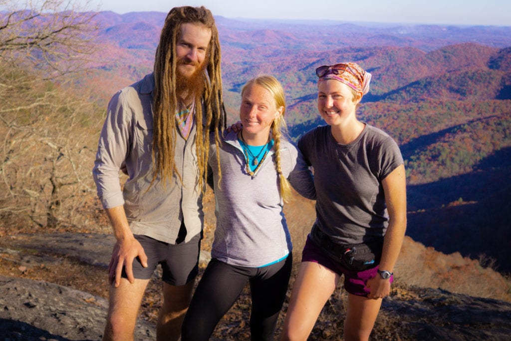
Once we began hiking again, we did not stop again for at least another seven miles. At last we took another break atop Preacher rock, a popular destination for the local college kids. From the scenic overlook, we had an easy cruise into camp at the Gooch Mountain Shelter. Here we had a real treat waiting for us -our friend Medicine Man had driven down from North Carolina, hiked in dinner and had a fire waiting for us when we arrived. As we got to camp in the dark once again, we were all excited at the prospect of easy warmth and free food. We roasted hot dogs over the fire, followed by s’mores with all the accoutrements. As our last night on trail, it sure felt like a dream. While it was tempting to stay up and celebrate late into the evening, we were all exhausted, and the emotional burden of the end was weighing on us all.
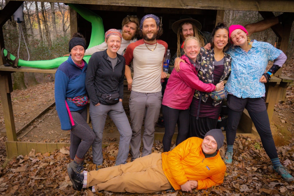
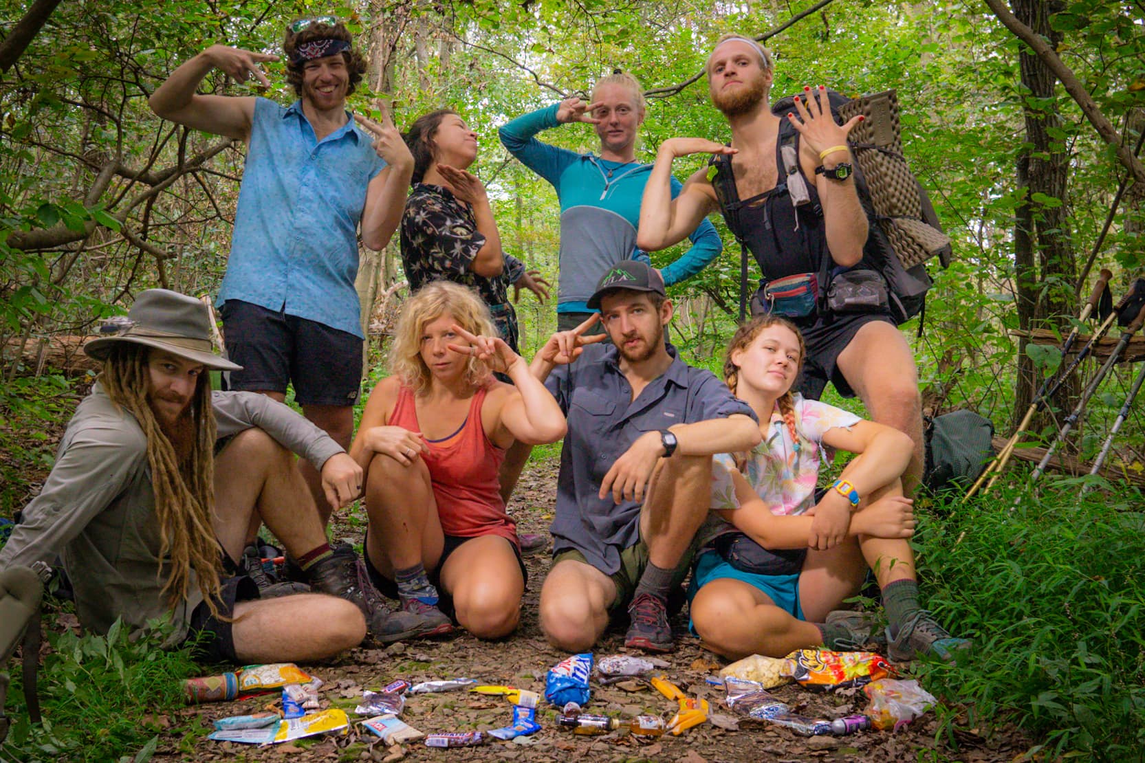
And then it came, our last sunrise of the of the Appalachian trail. We made plans with Medicine Man to meet us at the Southern terminus, took a group photo at the shelter, and began hiking. True to our nature, we found some alternate routes that wove in and out of the trail, and by the day’s end we had taken three our four different paths amongst the eight of us. The last five miles of the trail were quite exceptional as we followed Stover Creek, one of the biggest water sources that the trail had followed since our time in New England.
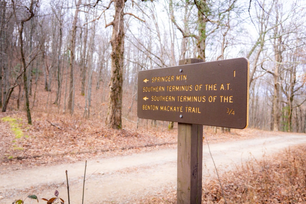
As we hiked on, the feeling that the terminus was just around the corner sat uneasy in our stomachs. Part of us wanted to slow down to a crawl in an attempt to stop the inevitable, but we knew this wasn’t practical. So we continued on, and before we knew it, we found ourselves standing in front of a plain rock with a mediocre view. A couple copper plaques informed us that we had reached the end, or perhaps the beginning, depending on the perspective.
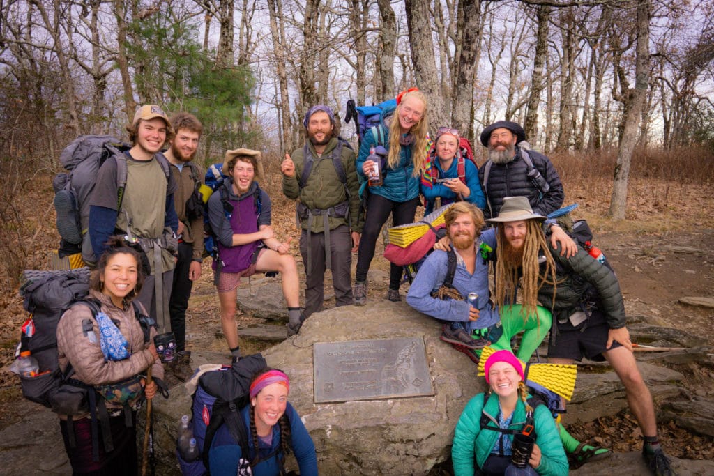
Standing there with a group of people, some of whom we had literally walked thousands of miles with, we found a slew of emotions that is beyond difficult to describe, but to quote the late great Townes Van Zandt, “Everything is not enough, and nothin’ is too much to bear, where you been is good and gone, all you keep is the getting there.” Some cried, some were silent, and some were overjoyed – for our journeys must carry on, and in different directions. But with the wind at our backs and our kingdom before us, the world is our oyster, and we walk on.
The journey has been a difficult one, and we can say for certain that we wouldn’t have made it without the outpour of support and kindness we received along the way. To everyone who contributed in any capacity, we are beyond grateful, for it is folks like yourselves that rekindle our faith in humanity. Thank you for following along on this journey, we hope you will stay tuned for more adventures to come.
With endless gratitude,
Stump & Mandalynn


