Beginnings in Maine

The Grand Finale
May 6, 2019
The Maine Event
July 5, 2019After 32 hours on the god forsaken greyhound, we arrived at a truck stop late in the evening. Somewhere outside of Bangor , Maine, we began wandering around in the dark, delerious and nauseous from the ride, until we found our friend Good Man Gramps. Despite the fact that he was picking us up in the middle of the week, in the middle of the night, and driving us to the middle of nowhere, he wore a smile as we caught up, and only solidified our excitement of the journey to come. He drove us to a friend’s house who hosts hikers on their way north, and we did not arrive till midnight. We said our goodbyes and parted ways with Gramps, now in the company of strangers. Black bear greeted us with open arms into her home, and we stayed up talking for a good while about the trail before finally giving into sleep. Here we also met Keeper, a hiker who had come back up to Maine to hike one of his favorite areas. Raising awareness for veteran suicide, we talked at length about his foundation and his plans to help veterns through the means of walking and biking great distances.
After laying horizontal for the first time in 35 hours, we slept like the dead. We awoke to a home cooked breakfast and more great conversation. After getting our things in order, our two new friends drove us an hour north to Millinocket, one of the few towns remotely close to the Appalachian trail head. As one door opened another closed; we parted ways and were soon reunited with our backpacking companion from Tucson. Since John has been overlanding across south America for the last couple years, our reunion was long awaited…
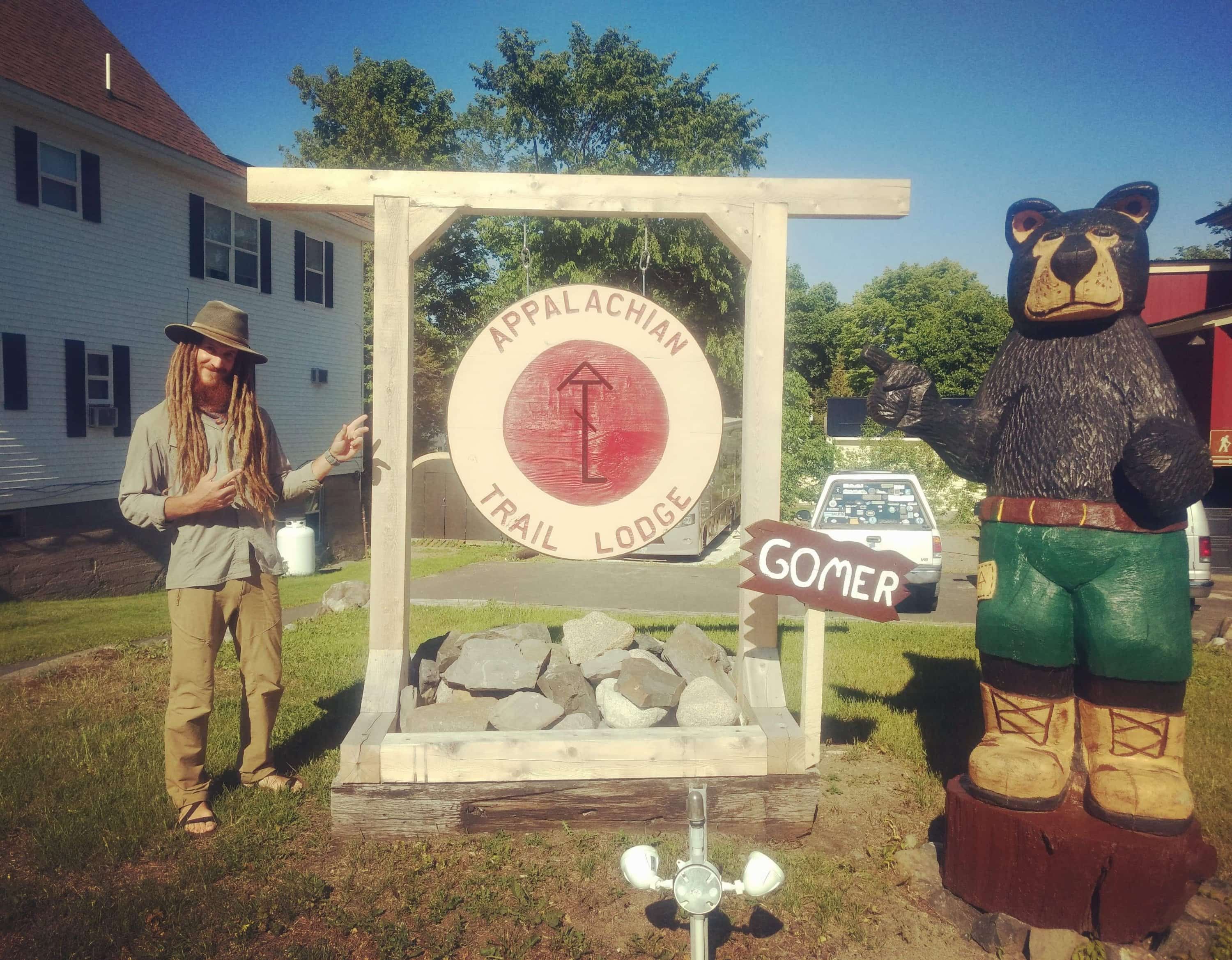
We checked into the Appalachian trail (AT) Lodge, where nearly everything is catered to hikers. Through the lodge we arranged multiple food drops over the next 140 miles which are particularly remote. We met the famous Ole Man, proprietor of the lodge and AT cafe in town. We enjoyed a modest night on the town, meeting a handful of other hikers chomping at the bit and waiting for the northern terminus to open….
We decidedly chose to begin our hike several days north from the official start point – the summit of Katahdin. Ole Man shuttled us the next morning well over an hour and half north across highways and dirt forest roads to get there, a place called Trout Brook campground. Along the way we spotted our first moose, a young bull running down the forest road just ahead of the truck. At last we arrived, and at 10:20 on June 13th, the walk began.
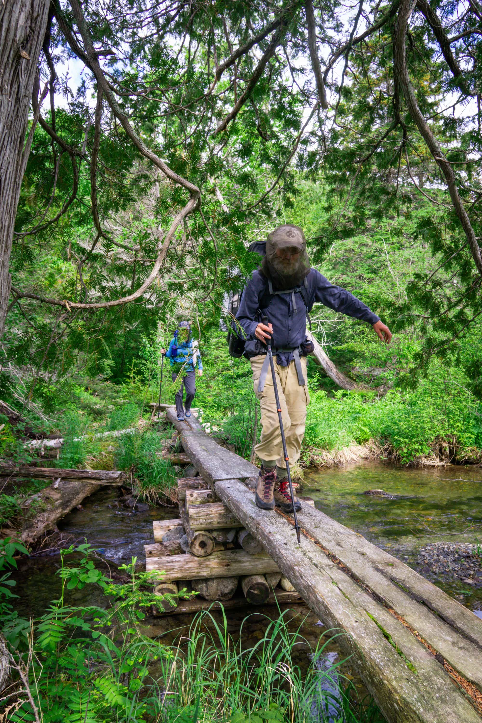
As soon as we left the comfort of the sheltered vehicle, mosquitos swarmed by the hundreds and forced us to wield our head nets. As we were still some 30 miles from the Appalachian trail, this was a path much less traveled, and we soon found overselves climbing over countless trees, often struggling to even follow the trail at all. Despite the hoards of insects, the place was beautifully lush, abundant with trees of every variety, waterfalls, creeks and ponds. Though the later were all lakes by Arizona standards.
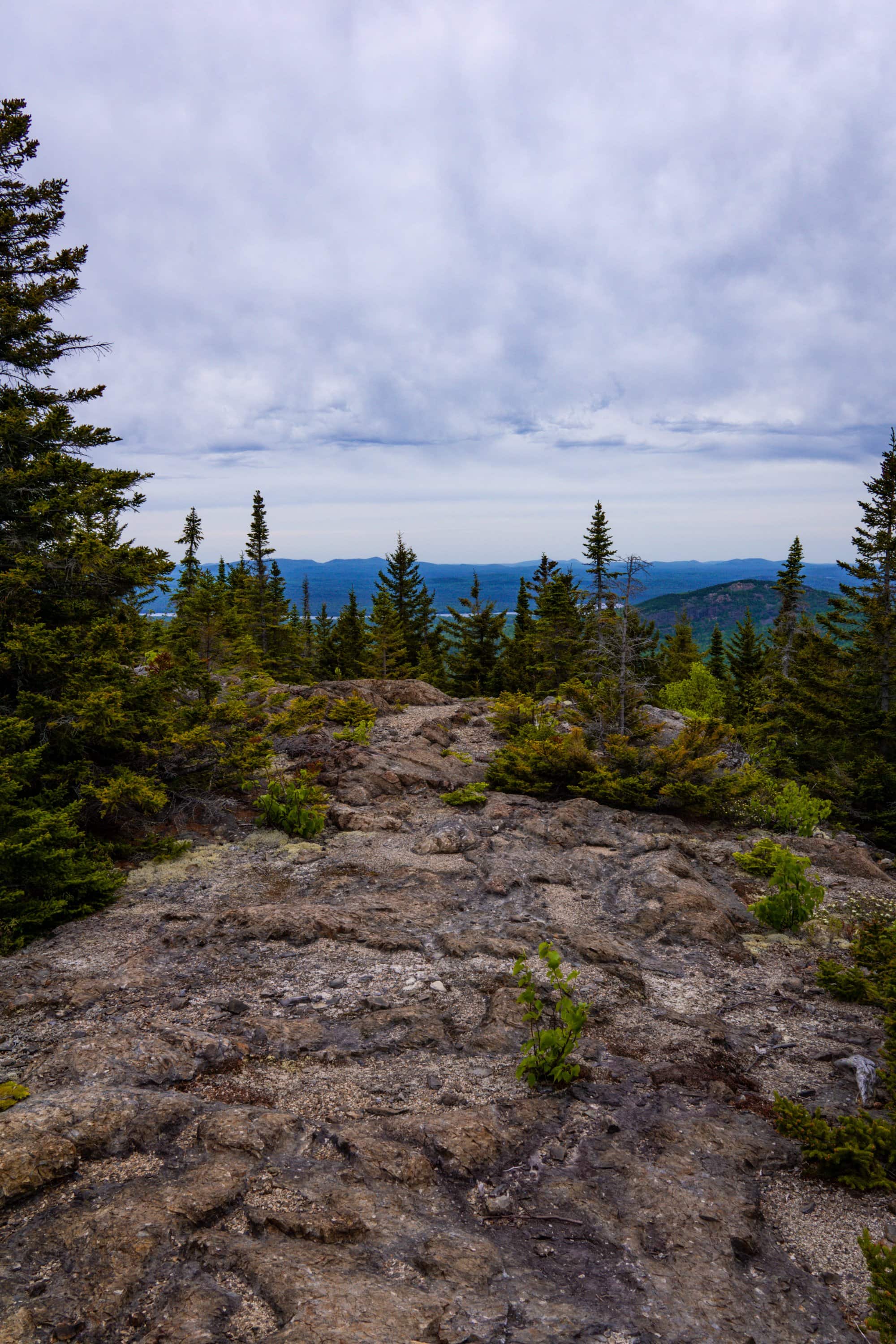
Our first expansive view – Barrel Ridge
By early afternoon we arrived at our campsite; a brand new lean-to. Though it is open sided, it still affords great protection from the elements. With our private view of the Upper South Branch lake, and a clean shelter to escape the evening storm, it felt like a luxurious start to our hike.
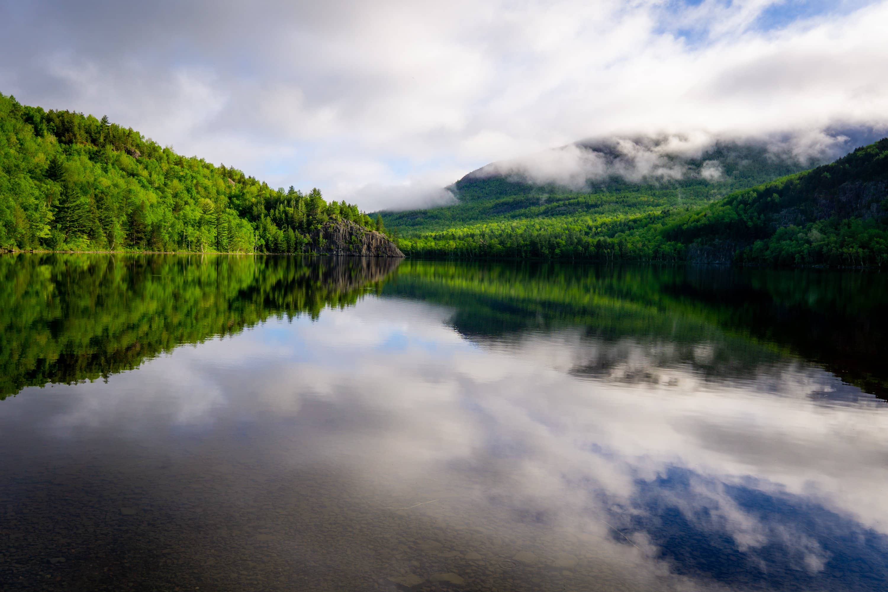
View from camp at Upper South Branch Lake
Our second day was much more relaxed as we had little to climb and only 8 miles into our next camp. The trail here was also better maintained, with some evidence of recent trail work.
We took a short break at the Pogy pond, but quickly moved on thanks to the unrelenting mosquitoes. We soon arrived at Russel pond by early afternoon, and quickly setup our mosquito netting to escape the clouds of insects. John decided to go check in with the ranger, and in the process, discovered the availability of the bunk house; a fully enclosed cabin devoid of mosquitoes and furnished with a big table, chairs and woodstove. Furthermore, canoes were available for rent on the lake for $1/hr.
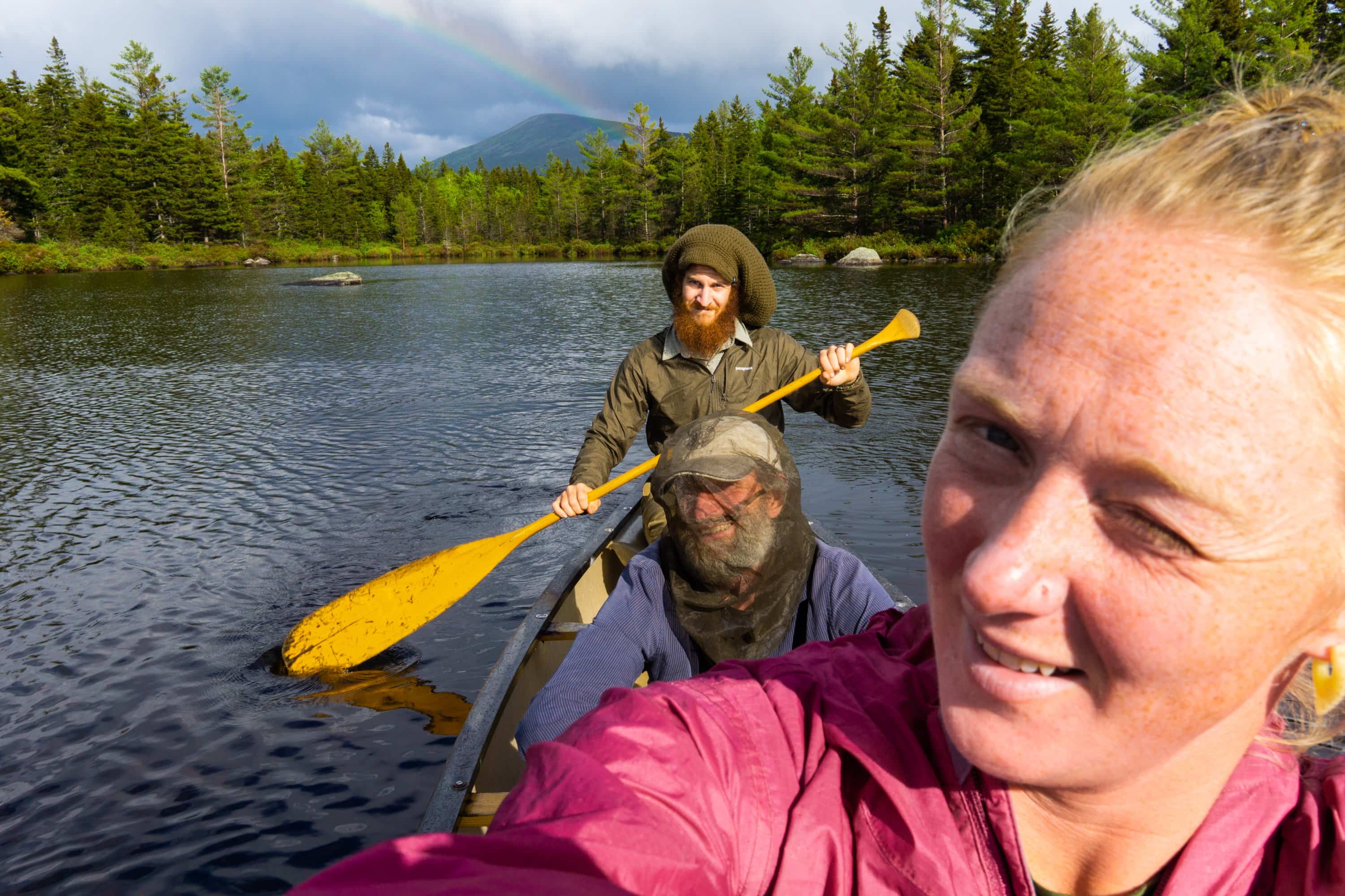
Without much thought, we opted for the upgraded bunk house, and an hour in an Old Town canoe. Having a bug free area felt like a piece of heaven, and we spent the afternoon feeling decadent in our accommodations. Even caught a nice rainbow as we paddled around the pond. We talked with the ranger at length about the trails we take to the summit of Katahdin, and discovered that we were the first people to explore them this season.
With the woodstove heated cabin keeping us warm through the night, we came to in the morning well rested – and with little to do before we were ready for the mountains. The trail out of camp was a bit over grown, but the ranger from Russel pond had done a good job of clearing out the blow down.
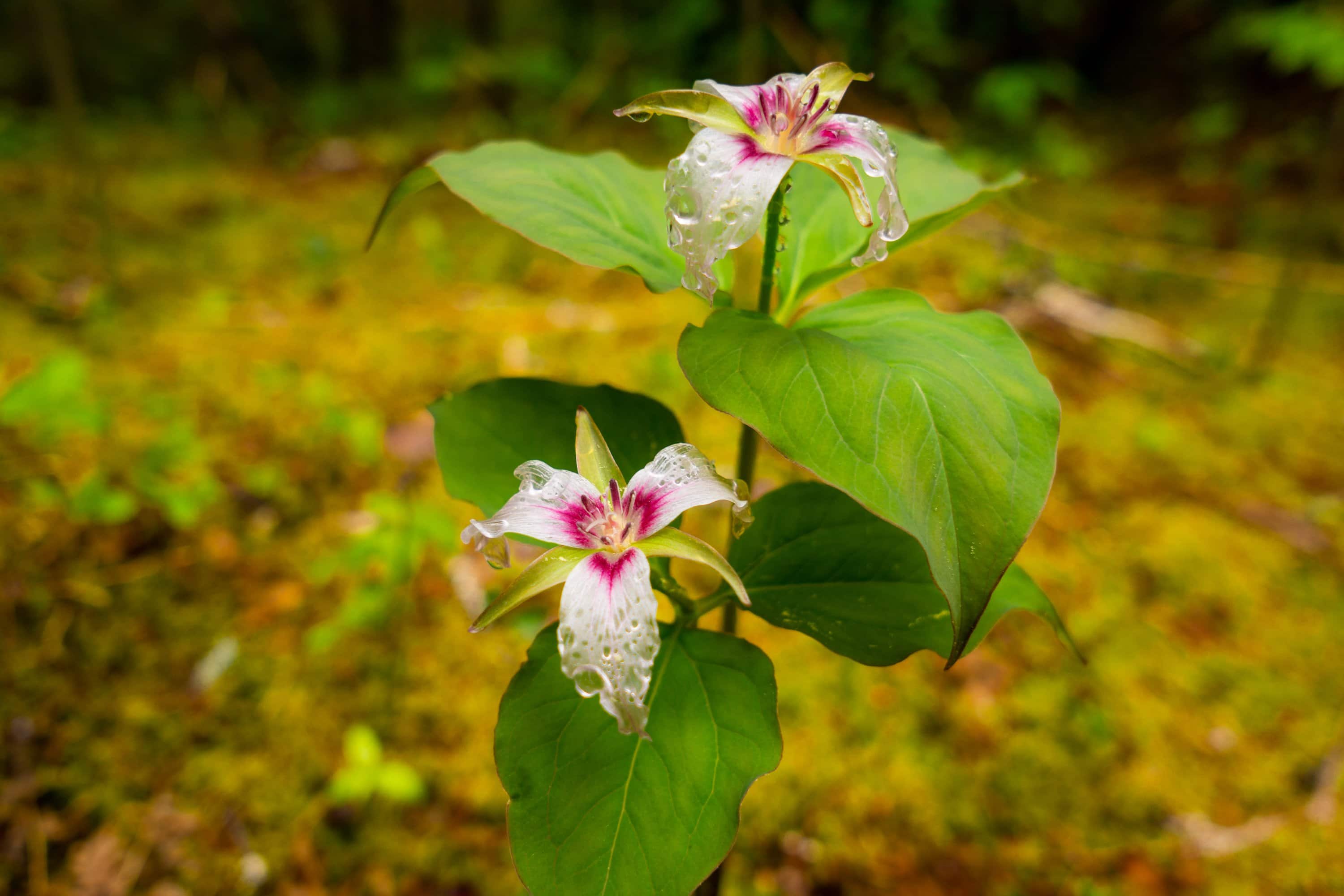
Trilliums of Maine
We crossed several small tributaries as we climbed up towards the great basin, all of which required little more than rock hopping. Soon the trail had disappeared beneath a stream, five to six inches deep in many places. We then hit the large water crossing we had heard about from ranger. It came up to about the waist, and was numbingly cold. As we waded across, we struggled to keep our footing on the submerged rocks that felt like they were oiled, but could not linger, for the crossing was wide and the risk of frost bite or hypothermia was real. Thankfully we only had to do that once.
We continued to wade up the trail until we hit the ponds Cowel and Davis. From here the trail turned into a vertical waterfall, where we bouldered and climbed up the wet rocks blanketed in thick green moss. This was the slowest part of the day, and at times it felt like we weren’t moving at all. At last the highridge began to appear. The trail-like waterfall turned into a snowfield, and soon after the trees disappeared amongst the Boulder fields. Once we got above treeline, the view opened up immensely, and the trail’s condition improved dramatically.
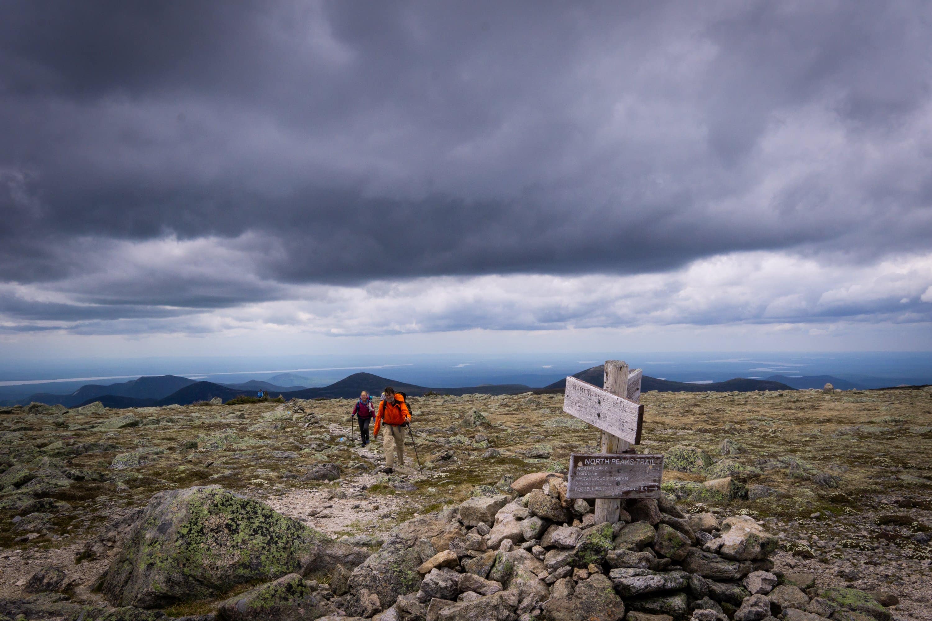
We climbed a gentle ridge, that we enjoyed all to ourselves, the first alpine experience of the trail. Our ridgewalk soon became much more crowded once we hit Hamlin peak; a major crossroads of several trails. Moreover, it was opening day and everyone was anxious to get on the mountain. Here met day hikers by the dozens – the most people we’d seen since leaving Millinocket.
We descended Hamlin ridge from there, and the 1700ft loss over a couple miles was not to be taken lightly. After we finally made it down, our legs were shaking out equal parts exaustion and adrenaline.

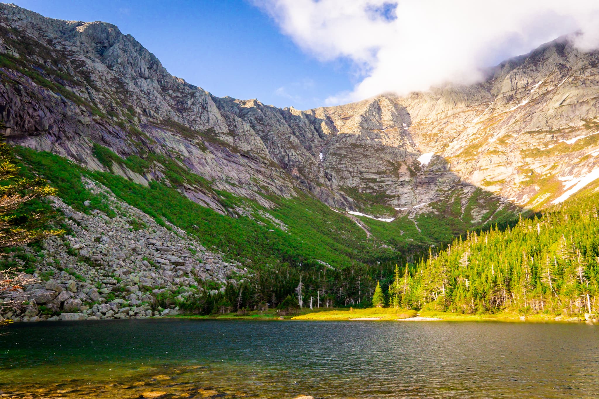
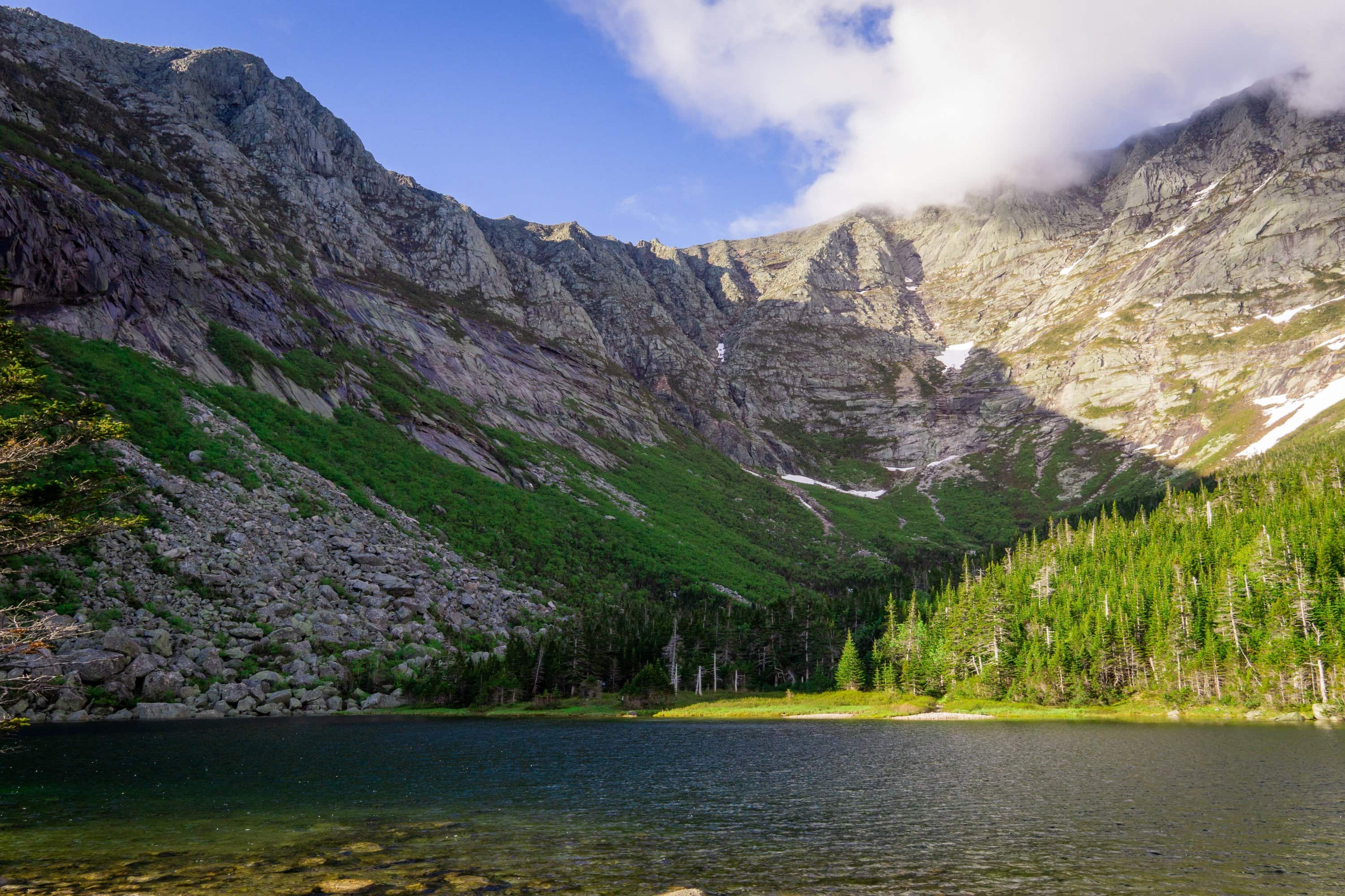
We finished the day at the Chimney Pond campground, where we had another reserved lean-to. Located at the edge of a massive basin on the backside of Mount Katadyn, the grandeur of the mountains and magnitude of the basin took us right back to the highest peaks of the west. With Katadyn looming overhead, the start of the trail was upon us.
We slept well in our lean-to, the sound of rain outside the shelter only bringing smiles to our faces. The mosquitos and insects hardly bothered us at all, and for the first time we didn’t bother with the mosquito netting.
We woke to John attempting to cook his pancakes, which was a futile effort. At last he ended up with scrambled pancake dumplings which did not look particularly appetizing… Some lessons have to be learned the hard way. We scrambled back up Hamlin ridge just as fast as our trip down the day before, and picked up where we had last left off.
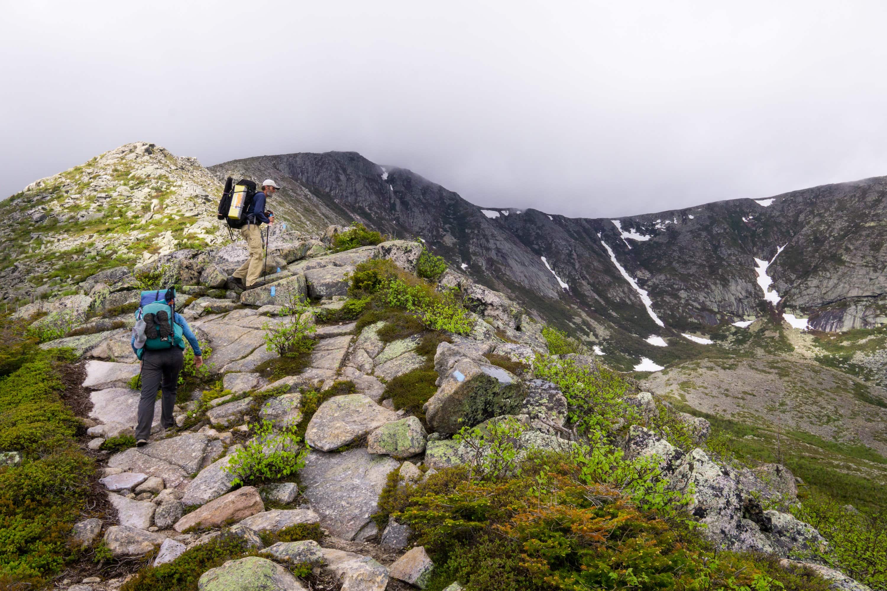
We passed many hikers along the way, and after this point the path to the summit was a cake walk, or as John would say, “All downhill.”
When we arrived at the northern terminus, it was a strange medley of feelings. What they were is hard to put into words, but without a doubt it was the most monumental start to a thru-hike that we have ever had.
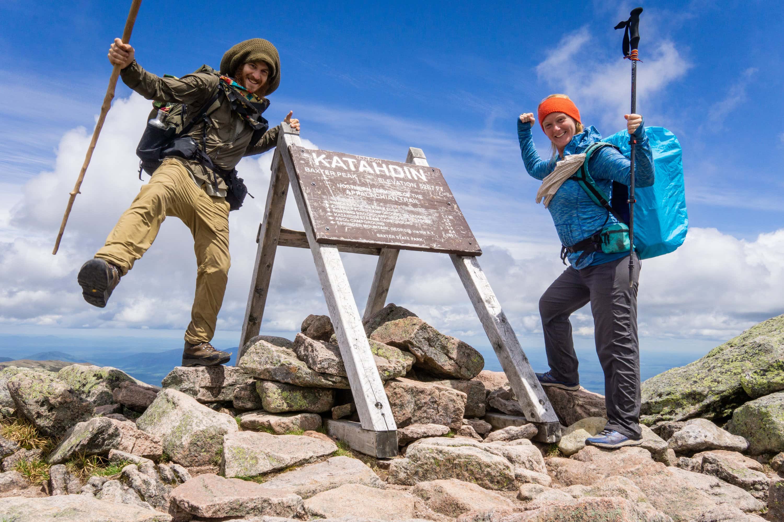
Our official start point on the Appalachian trail
We enjoyed the summit for an hour or so before heading back down the otherside. As the paint on the trail changed from blue to white, it began to set in that we were really starting our thru-hike (the Appalachian trail is well marked with white paint, side trails with blue).
The climb down got somewhat technical in spots, especially where we had to lower ourselves down over 9ft boulders. We made good time over the trek down, passing many hikers, and still the only ones with fully loaded packs.
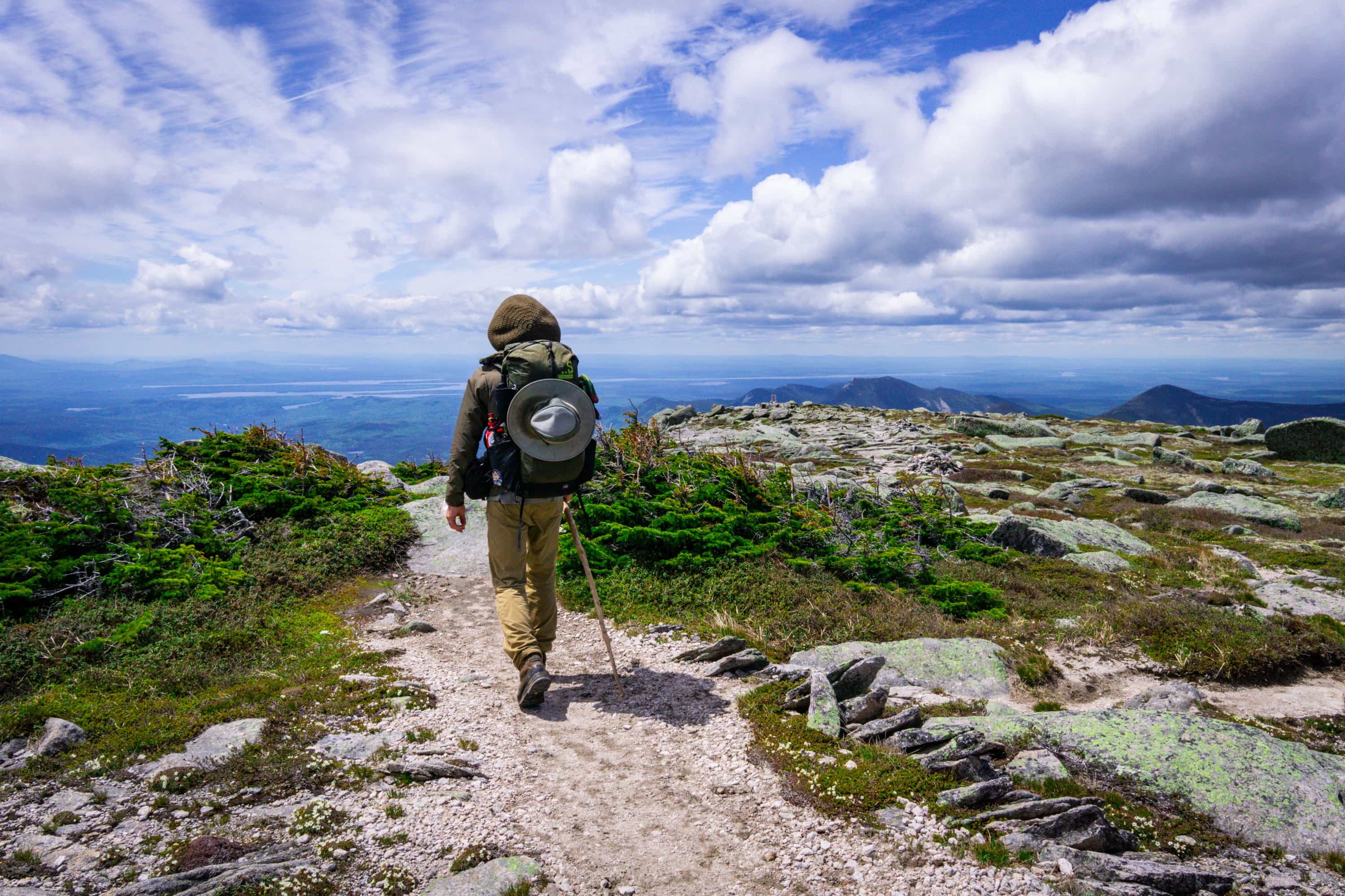
We arrived at the Katahdin stream campground, at the base of the mountain, in the late afternoon, found our shelter and made camp. Soon John joined us as well, and we picked up our first pre-arranged food cache from the ranger station. To us, this was was like christmas in the in the backcountry, part I.
Though we certainly woke up sore from our previous day on Katahdin, the attraction of a well groomed trail and gentle grade could not be resisted. We made great time as we left the peak behind and made our way to the 100 mile wilderness; the longest section of the trail without any services or towns.
We took a couple detours to the little and big Niagra falls, both of which displayed an impressive amount of water. Around lunch time we arrived at Abol bridge; home of a little store and restaurant, the later of which was still closed for the season. We picked up a couple snacks for the wilderness and took a break in the shade with several other hikers.
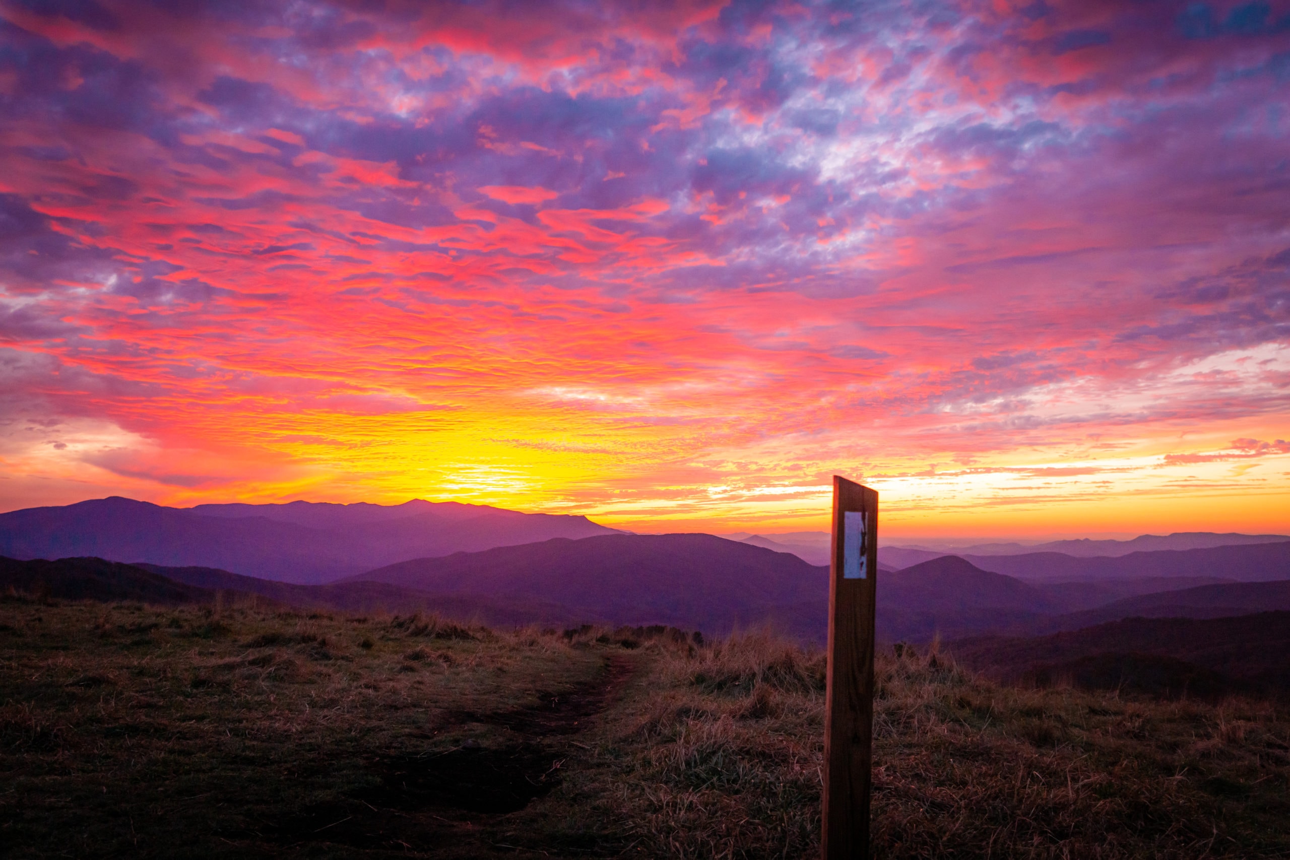
After our pleasant break, we made a few more miles to the rainbow ledges. The granite cliffs peaked out just far enough above the trees to reveal an excellent view of the mountains in greater Maine. It was a dry camp full of mosquitoes, but the sunset was one of the best that we have had on this trail so far. Unable to drive a tent stake into granite bedrock, we only setup the mosquito net in hopes that it would not rain. Pray for the best and plan for the worst.
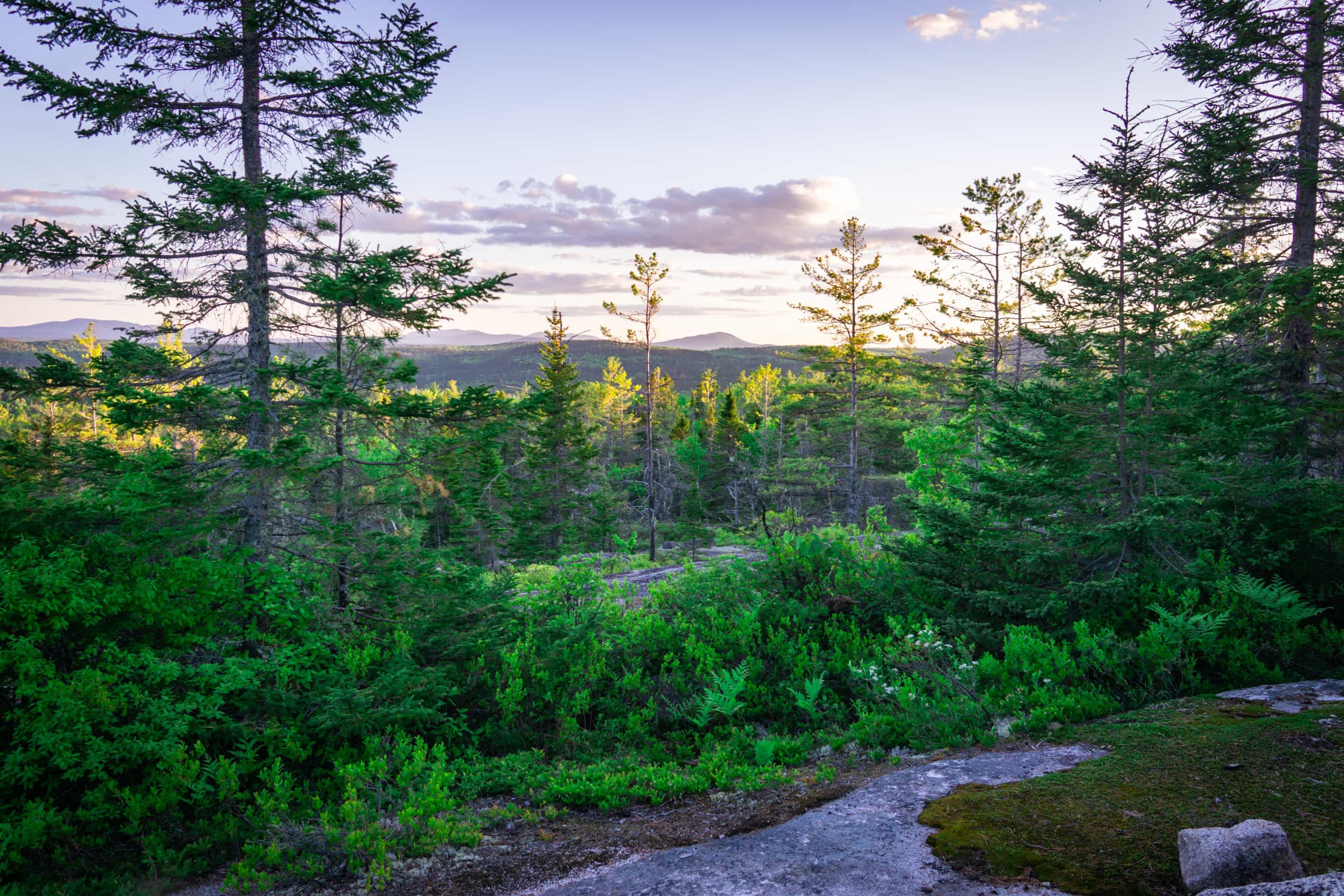
sunset from Rainbow ledges
It was a warm night and the bugs never seemed to die down. But when all was said and done, it didn’t rain. The morning that followed was a hasty one, as we hurried to break down camp before getting eaten alive.
We descended the granite cliffs for the land of soil, and into the Rainbow lake basin. The lake was an enormous one, and it took us several hours to wrap around its south shore. Along the way we ran into a couple trail crews, and stopped for a break at one of the shelters on the shore.
What we thought would be a gentle meander around Nahmakanta lake to finish off the day, turned into a much more difficult hike than we had anticipated. We summited Nesuntabunt, elevation 1500ft. We climbed and fell several more times before finally reaching our end point for the day- the shelter on Wadleigh stream.
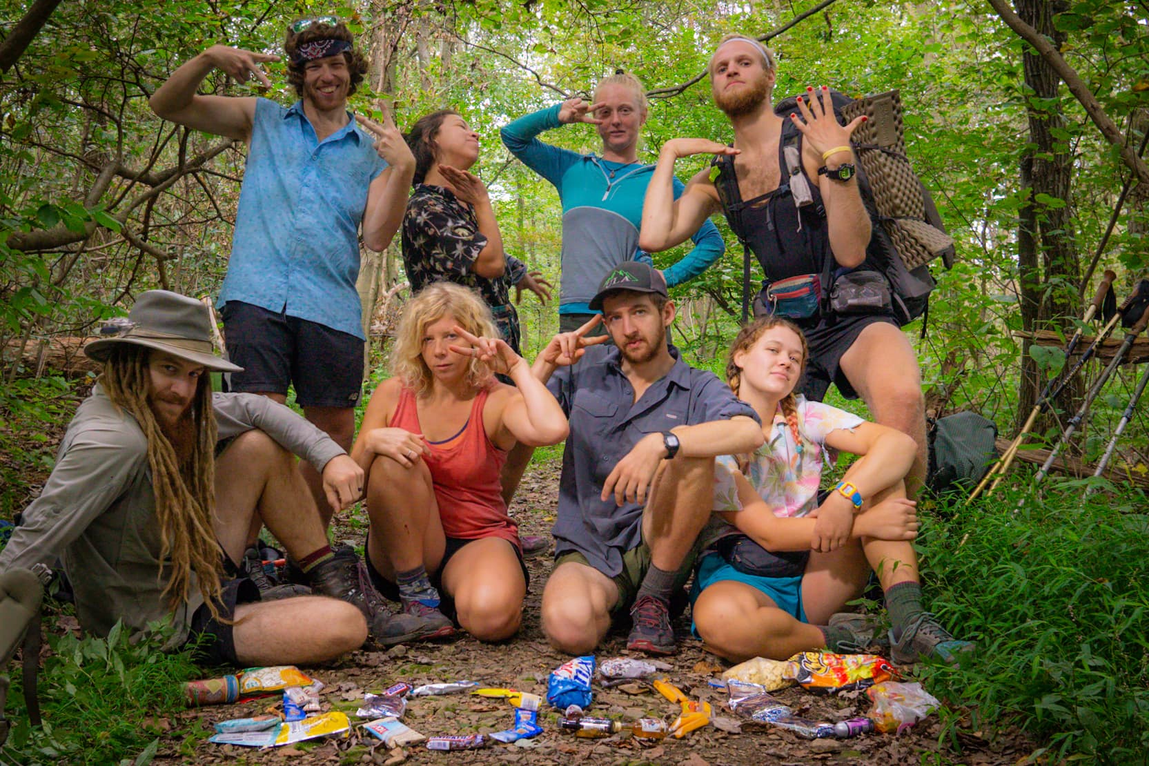
Here we met a host of other south bounding hikers, including Rocknaps, not Trish, three hikers we’d been leap frogging all day: Ben, Jon and Kyle and several others. With everyone still fresh and shiny on the trail, we celebrated the comradry of the journey and the struggle we shared. As night fell, the conversation quieted, and after a few awkward minutes of silence, everyone conceded they were ready for bed. It was 9:00pm.
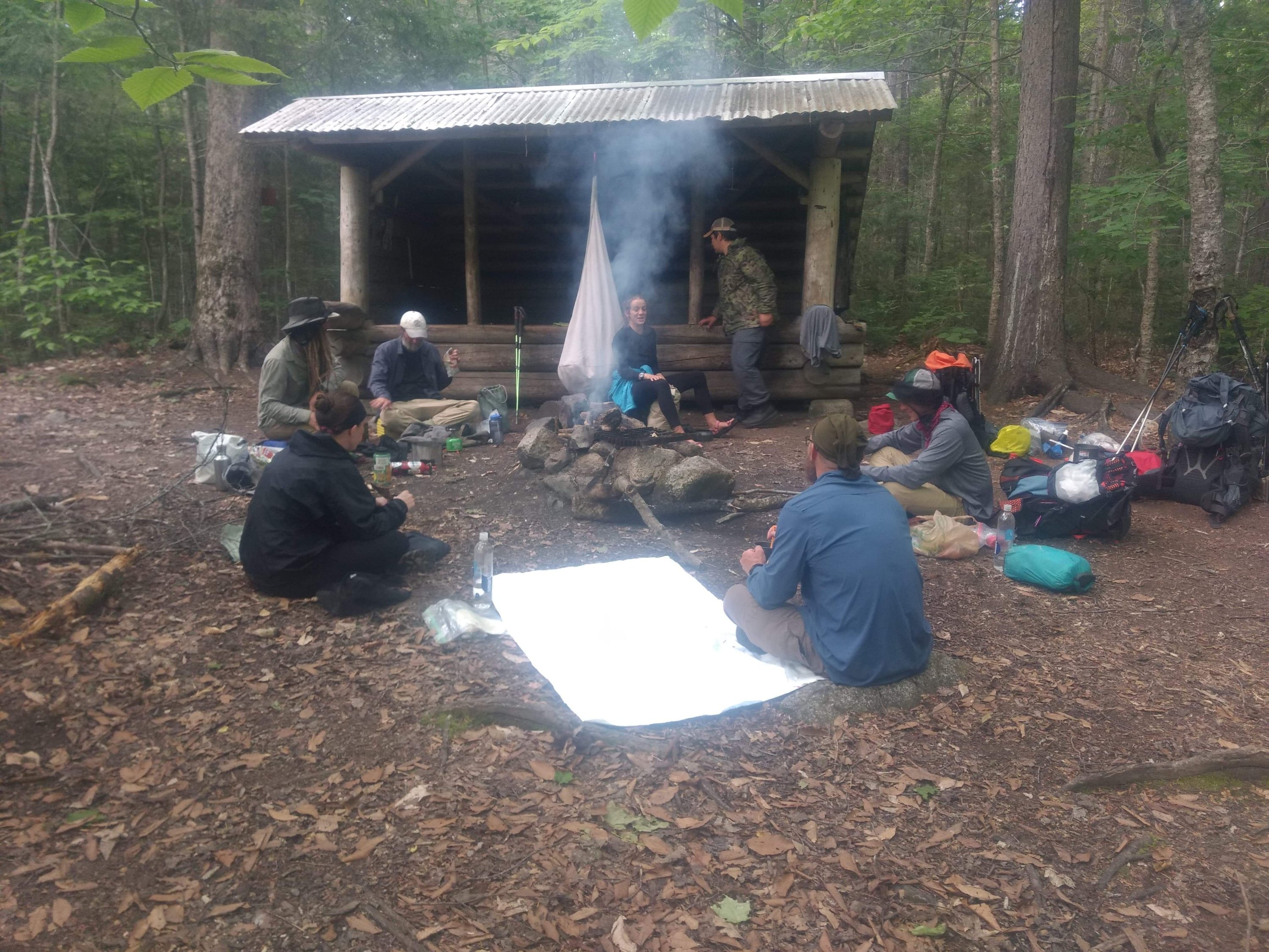
The hundred mile wilderness in its northern parts was relatively mellow; a few gentle climbs, a lot of mosquitos, swamps, and flowing creeks. Water was abundant all day, every day. We certainly have been enjoying the luxury of this happening, never carrying more than a liter at a time.
As we neared Joe Mary Lake, we found the best camp of the trail so far. With swimming and great views from the many well spaced camp spots – coupled with good company, one could almost forget that they were being prodded by a dozen different species of biting insects at any given moment.
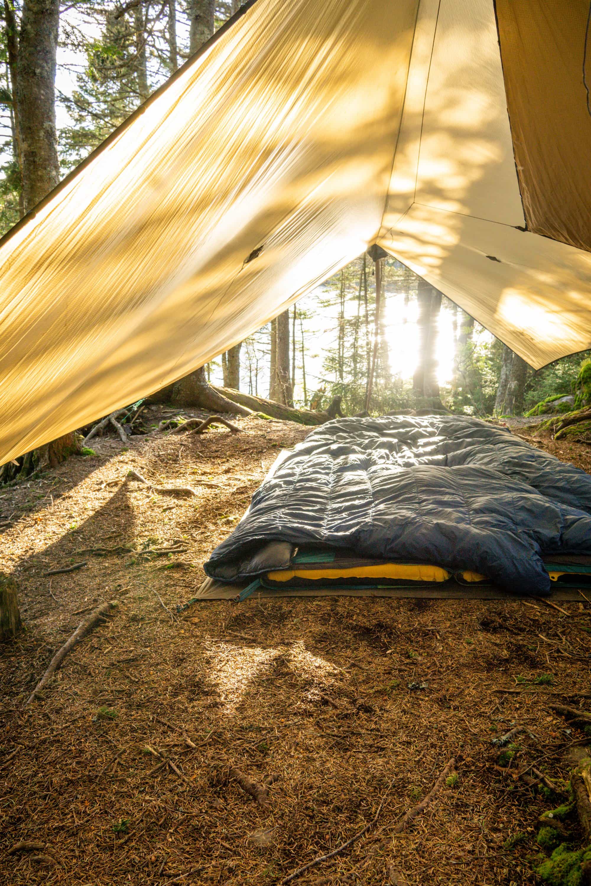
The rain started as we wound down for the evening, and continued through the night. It was a light rain, that only lulled us to sleep harder, until it pooled on the tarp and began saturating our dry goods. Nonetheless we slept well, and were grateful to pack up when the rain faded away with the morning.
Our food at this point was beginning to run low, but our cache lay only 11 miles ahead, roughly in the middle of the wilderness. Determined to get to our resupply, as well as to make miles before the rain picked back up, we kept a mean pace. After 8 miles we took a break at the Cooper brook falls lean-to. While it was a beautiful shelter overlooking the white water, so far we were still dry and had 3 miles left to our cache. Moreover, my head net disappeared at our last camp, leaving me vulnerable to the insects when we stopped moving. This in itself was the best motivation to always keep hiking.
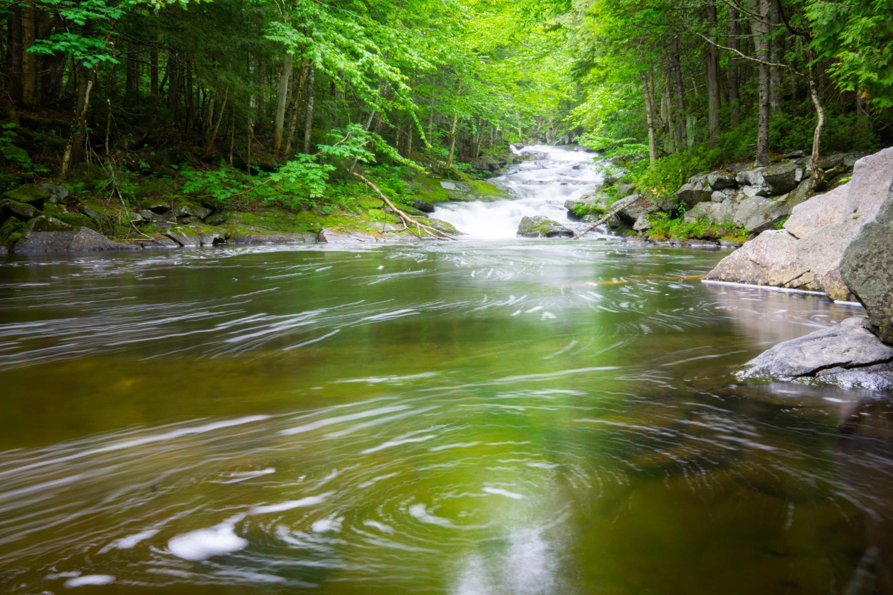
Cooper Brook Falls
Before long we came to the place in the woods where our pre-arranged cache lie in hiding. We tore into the 5 gallon bucket like wolves, and immediately began to sample the goods. Oreos never tasted so good. Christmas in the backcountry part II.
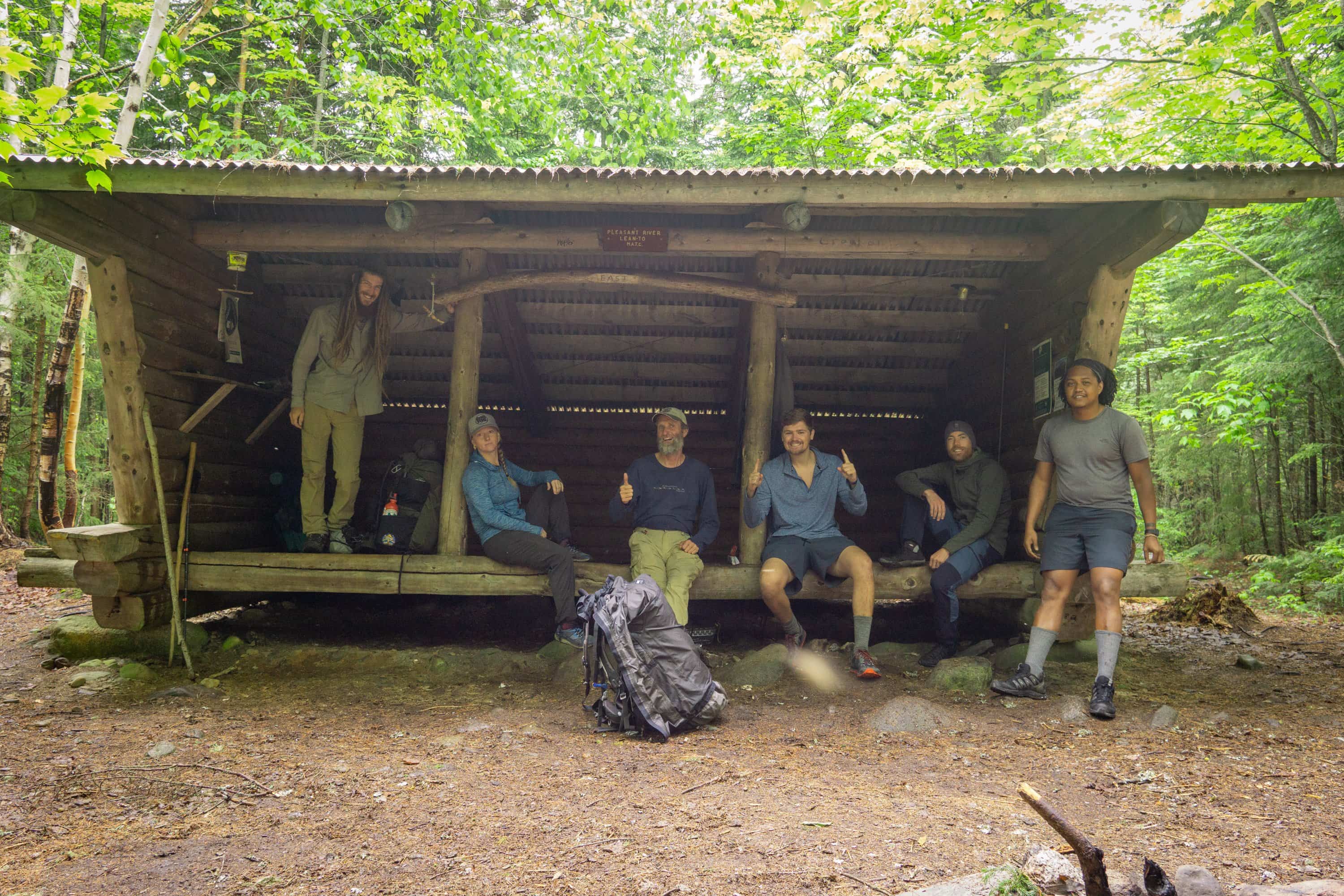
The rain continued to hold off, but never gave an indication as to when that might change. So we hiked another 5 miles to the south branch of the pleasant river lean-to in the best time we could. We met a couple of other south bounders here (sobos), Genie and Jake. They continued on their way just as the rain began to pick up, and for a while we had the shelter to ourselves. Rain is so much more pleasant when you are watching it from the inside of a large shelter. Here we spent the night, as the rain only pored down harder outside.
Planning on only hiking 11 miles today, we took our time waking up and enjoyed our time in the shelter as the last of the rain passed over. Ben, Jon and Kyle joined us as we slowly made our way out of camp in the morning, headed for the first big climb since Katahdin – White Cap Mtn.
It was a steep climb up to the initial summit, somewhere around 3000ft of gain. In many places the trail went straight up a stone staircase that never seemed to end. While it was a bear to climb, it took over 11 years to build it. When we finally reached the top, we were in the heart of the clouds and could see nothing, save ourselves. We did not linger on the summit for very long given the cold and windy conditions, and hiked down a little ways before taking our first break of the day.
We were still freezing though, so our break did not last long. We summited several other mountains, ridge walking from one to the next. Unfortunately our visibility never changed much. After bagging Hay mountain, West peak and finally Gulf Haggis, we made our terminal descent for the day into another shelter. This is how we spent the longest day of the year.
The next day was no easier as we crossed the Chairback mountains, all five of them. But by this point the weather had cleared and provided excellent views at each of the successive summits. Between them we fell and rose dramatically, climbing a little higher each time.
As we came down “4th Mountain,” we came upon a high elevation bog. Some of the plants here were truely spectacular, growing out of the pea green moss that seemed like it could swallow you whole. Among these was a blooming pitcher plant, Sarracenia purpurea. While we have spotted several carnivous plants so far, this was by far the most impressive.
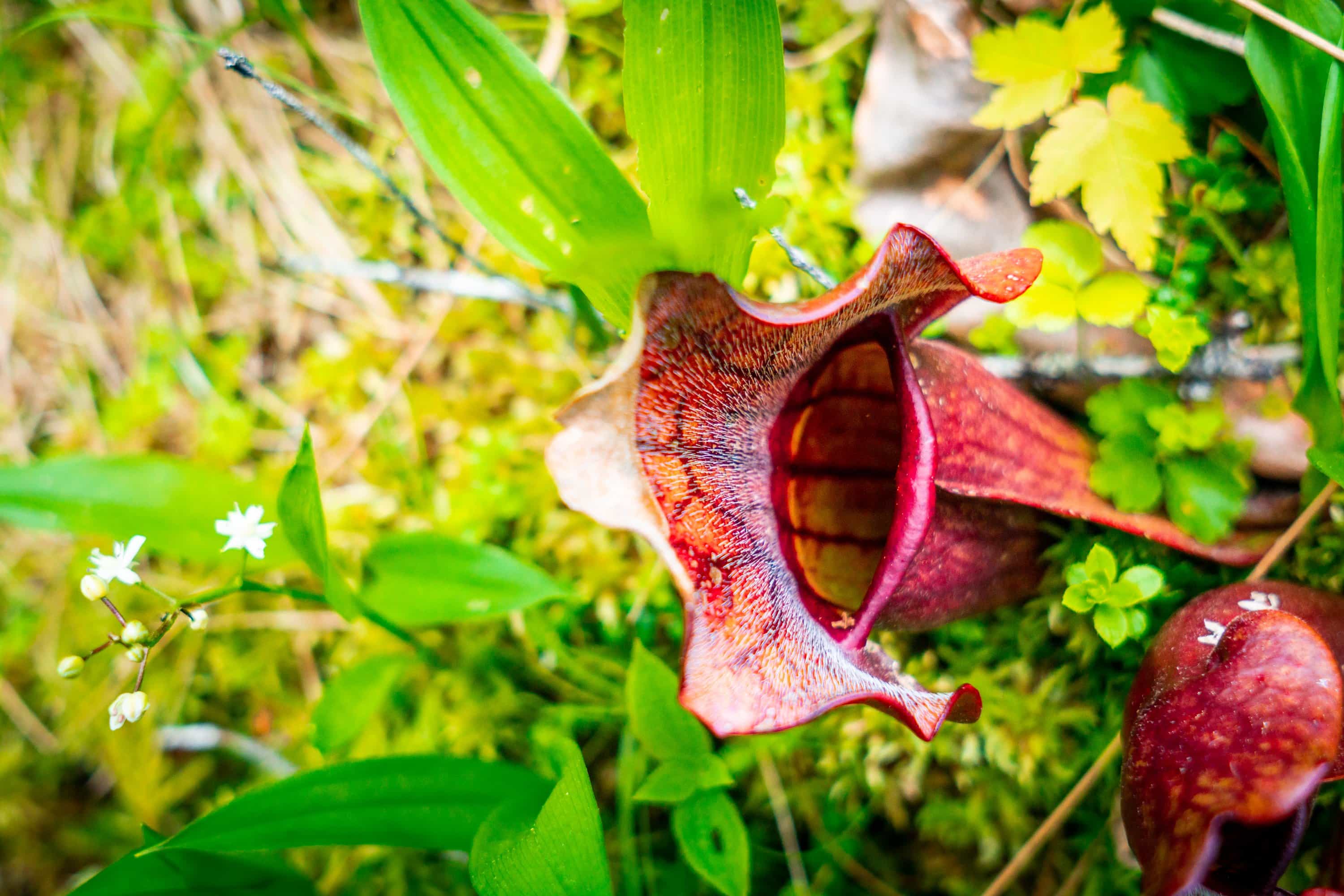
Truely exhausted by the day’s end, we camped at the alpine Cloud Pond. Another gorgeous lake tucked away in mountains.
From here, it was a short trip to the summit of Barren Mountain; one of the most prominent peaks in northern Maine. There was the remants of an old fire tower here, leftover from the days of a different fire regime – and a different forest all together.
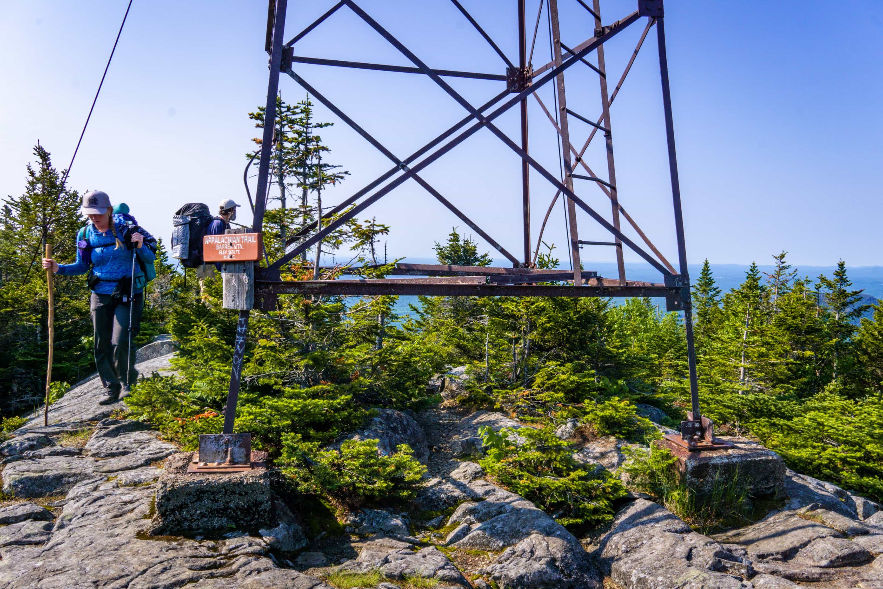
As we made our way down the other side we came into our first bit of trail magic so far. As the trail crossed an old logging road, we found a sign for a .2 mile detour to a nearby cabin. We had been hearing rumors of the magic for days, so we eagerly veered off trail down the old road.
Along the way we passed the remains of an ancient building made out of hand carved bricks. Only a wall remained, and most of it had been reclaimed by the surrounding woods, but there it stood.
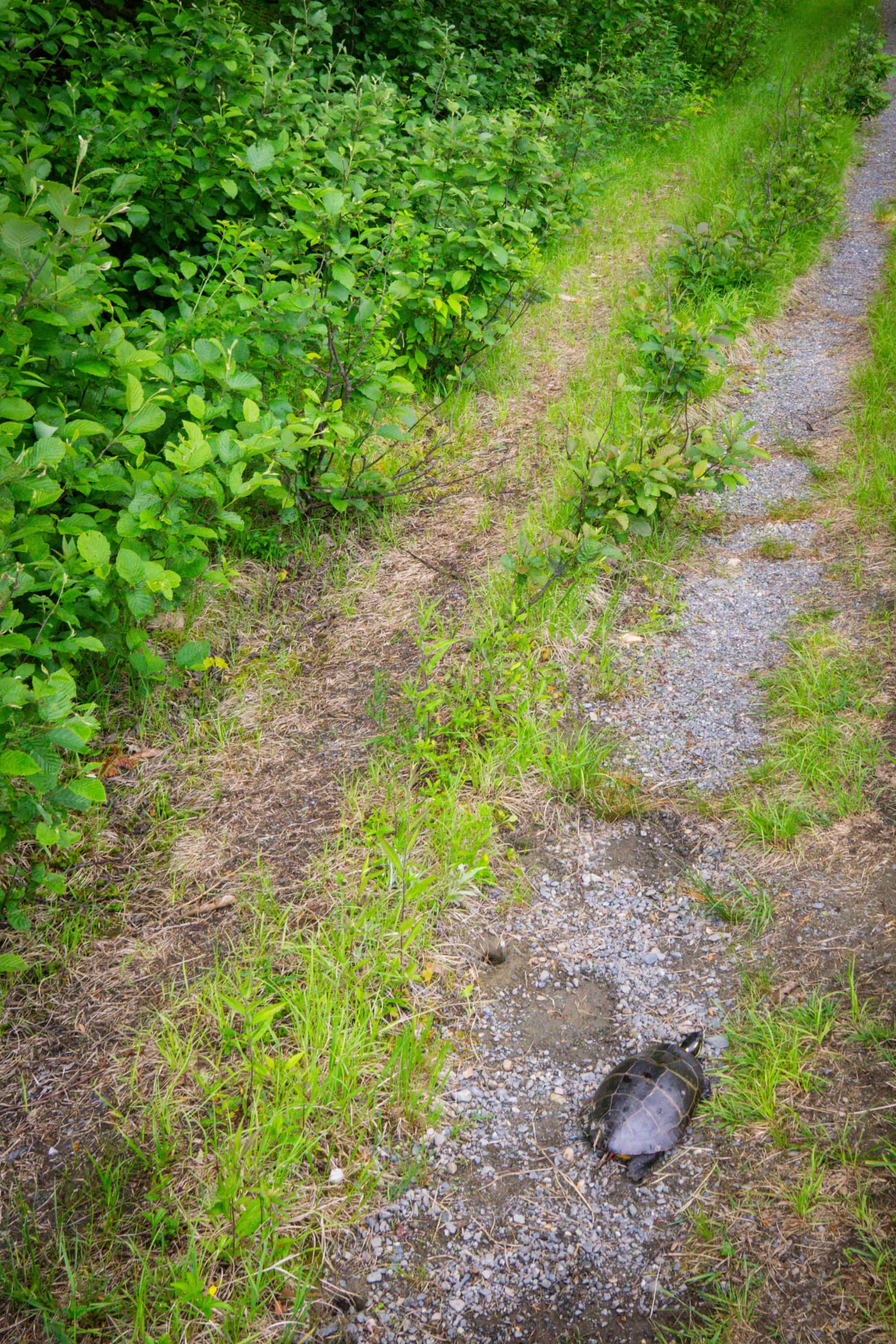
turtles in the road
We soon found the cabin and met two humans who redefine kindness. They call themselves Scout and Birdman, and while neither of them has hiked the trail, they provide magic to remember Scout’s late so, an avid thru-hiker. Scout had never been terribly fond of hikers, but through the years has gained an appreciation for what they do. As soon as we arrived we were offered cold beverages out of the cooler. While we declined on the multiple burgers and hotdogs that he offered every hiker, he whipped up a delicious starwberry shortcake out of a few simple ingredients. There was potato salad chips and cookies – pancakes if you got in early enough. Everything was beyond delicious, especially after being out for 10 days.
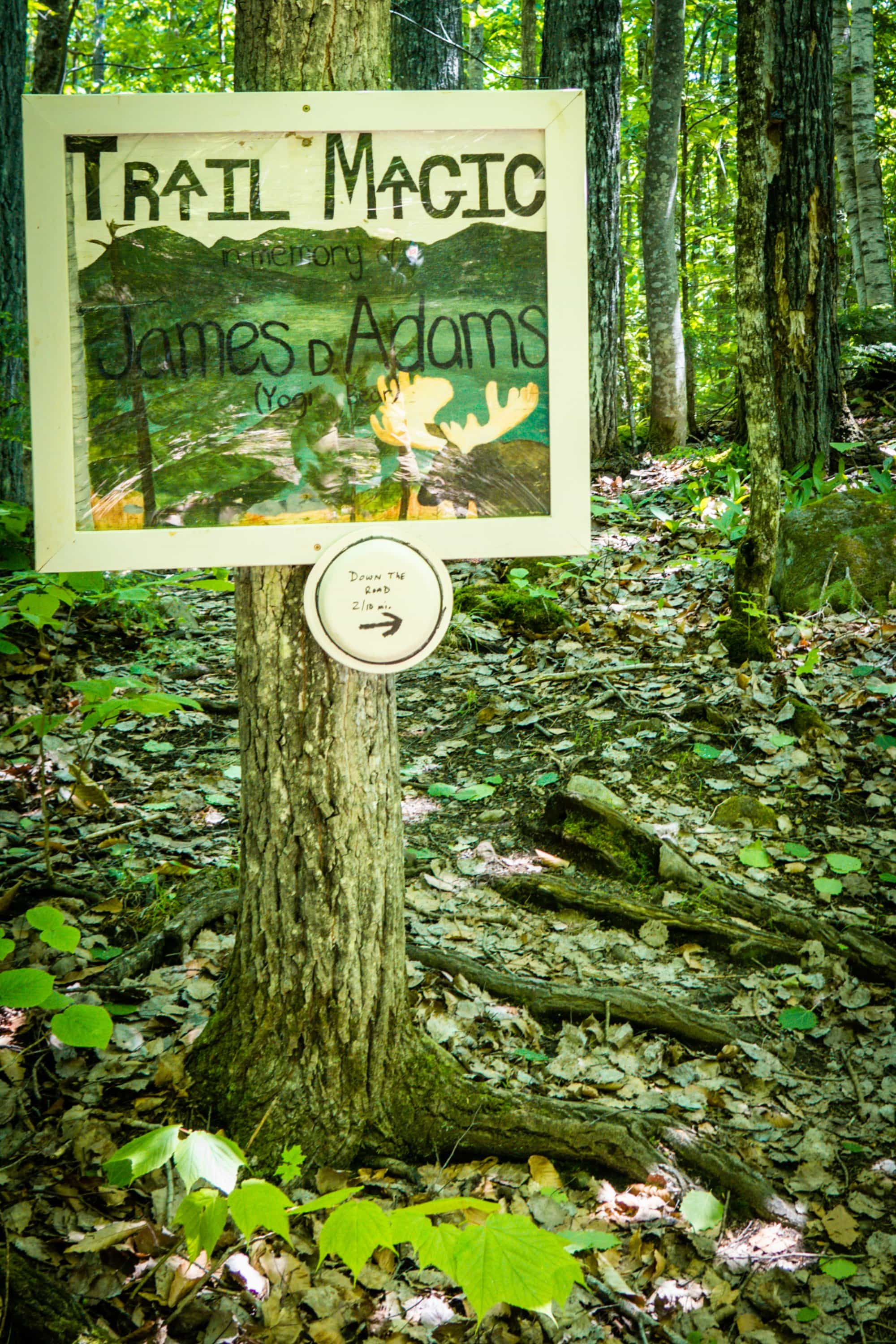
We talked with Scout at length about life in Maine; hunting moose, snow, rising rivers, the land, lost trucks, and his son. We learned that the ancient buidling we had passed on our way in was an old saw mill from the the turn of the century. Back when bird’s eye maple was abundant in these hills, this mill produced wooden propellers that would eventually be used in WWI.
After the rest of our party caught up and filled their stomachs, we said our many goodbyes and thank yous, knowing we still had a long day ahead of us.
We forded a couple large creeks, the largest of which was called Big Wilson. We made it across without difficulty, and promptly left our packs on the south shore as we jumped in for a swim.
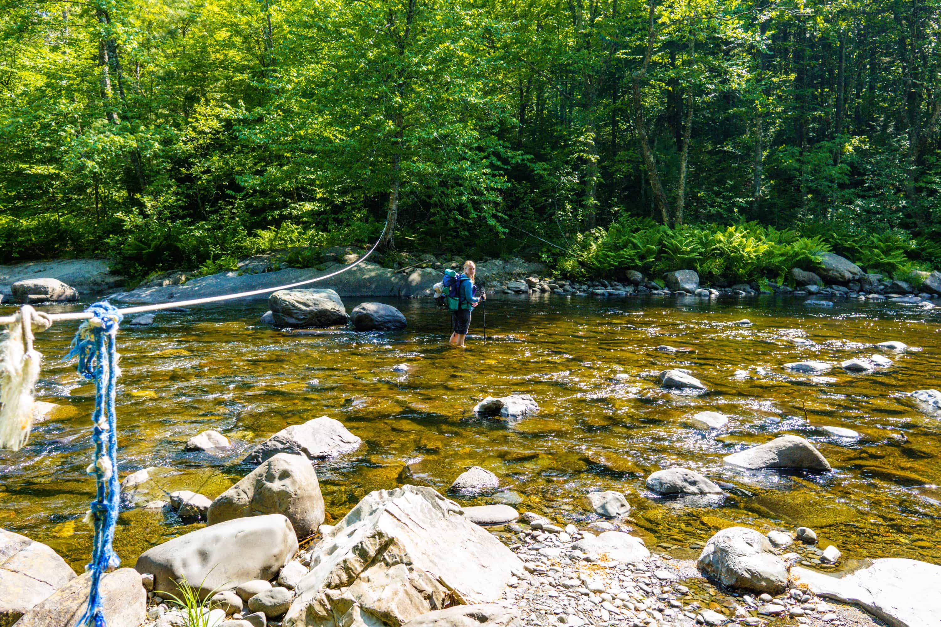
As we made our last miles out of the wilderness, we found ourselves walking on granite ridges covered in amazing boreal mosses of every hue and texture imaginable. Though the day was growing late and we were once again on the brink of exhaustion, such a scene gave us the energy to keep walking.
At 7:30 we arrived at the shelter and found a couple of hikers already fast asleep. We quickly setup camp and made dinner, beyond tired and hungry from a 13 hour day.
The next morning we woke up before the sun, and got out camp bright and early. At this point we had consumed every calorie we had packed and were ready for a day in town. We power walked the last three miles to the highway, and caught a ride with a local. By 7 a.m. we arrived at Shaw’s hostel in Monson.
As soon as we arrived the smell of frying potatos nearly knocked us over. As we awkwardly made our way inside, we found ourselves standing in the middle of a busy kitchen and loaded dining room.
We explained that we had just gotten in, and they invited us to take a seat wherever we could find one – we were just in time for breakfast. What followed was one of the most glorious meals I have ever walked into. First we were treated to cast iron cooked potato hash and eggs just the way you like them, followed by endless rounds of fantastic blueberry pancakes.
Here we met Poet, and his partner Hippie chick, a couple of school teachers turned thru-hikers who have since evolved into the proprietors of the hostel. They took great care of us and offered a lot of services that were otherwise unavailable in this tiny town. The experience was by far the best we have had at any paid lodging along a trail. Saying goodbye was was a difficult thing.
As we packed our bags and prepared to leave in the morning, Poet came out and announced that a neighbor was looking to hire a couple of hikers to help clean up her 4 acre camp on the lake. With lucrative pay and a slew of bonuses, it was hard to resist.
Without much thought, we jumped in the truck and headed off to the lake. We expected to find an old cabin in the woods but when we arrived, all expectations went out the window. Two massive cabins, four stories each and connected by a wooden bridge 20ft in the air is the first thing we saw. Then came the custom cedar shake lodges, adjoining the cabins that date back to the late 1800’s. In one spot between buildings, they had a fully restored caboose, complete with a second story loft. All being told, it was the most impressive family camp I have ever seen.
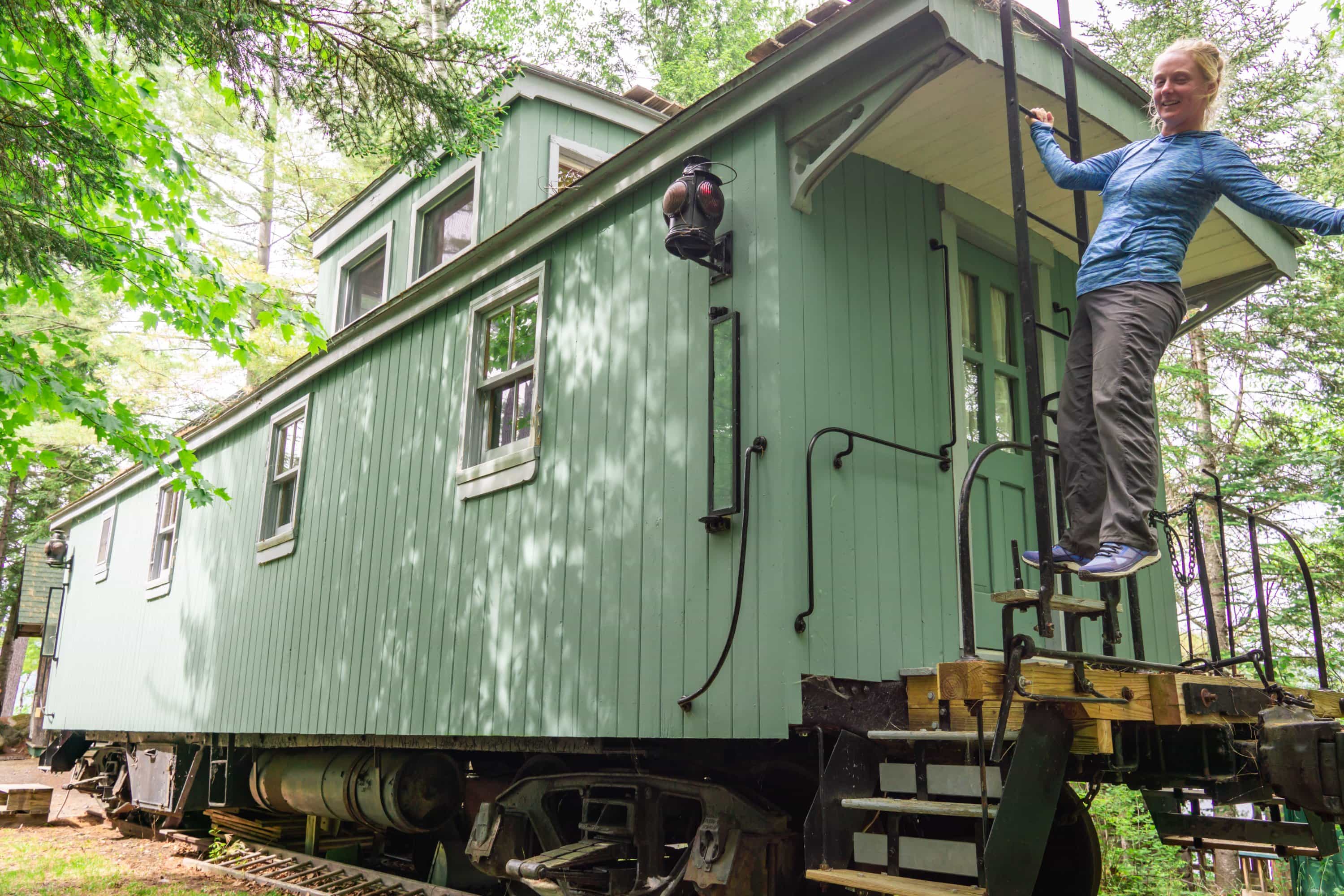
We spent the day clearing up the yard from winter and opening up the camp. We got the nickel tour, and were blown away by some of the old doors and cabins, some of which were nearly 150 years old. Birch was used in many of these in ways I have never seen. After work, our host took us out on an old railroad trestle over looking the lake.
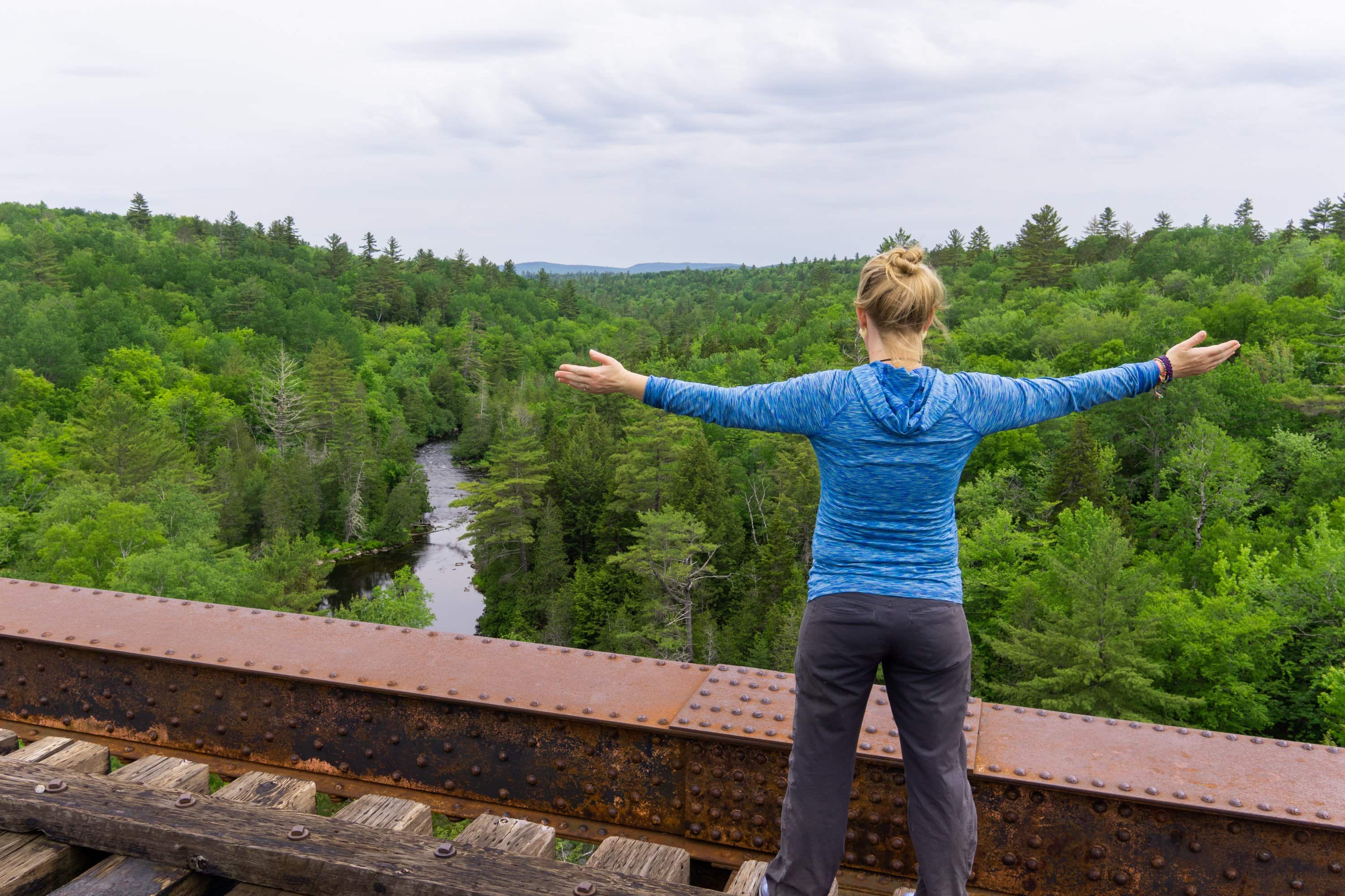
After another day of work, and a third buffet breakfast, we are finally leaving Monson – two days later than expected. Maine has set a high bar that will be hard to beat. Back to the trail for now…
Cheers!
Stump & Mandalynn


