The Maine Event

Beginnings in Maine
June 26, 2019
Walking in Clouds
July 19, 2019“First there is a mountain, then there is no mountain, then there is…” – Donovan / Qingyuan Weixin
After tying up our loose ends at Shaws hostel, we finally left that little slice of heaven behind for the trail. We walked out to the main drag of town, and within seconds of putting a thumb out, we had a ride.
We got to the trail late in the evening, and only hiked a couple miles before setting up camp at dusk. We were tucked into the clouds, and when we woke up in the morning everything was damp.

all that the rain brings…
Eager to catch our hiking companions that departed a couple days ahead of us, we made for an early start and made nine miles before taking a short rest at Horseshoe canyon lean-to. There were a lot of fords in this section, but all were only a few feet deep and slow moving. Nonetheless they slowed us down in our approach to Moxie Bald Mountain, our big climb for the day. Combined with the obstacle course of freshly wetted slippery rocks, the going was slow.

We took another short break a couple miles before the summit, where we took a short nap and waited out the rain. When the sun came out we continued hiking. As the climb got steeper and steeper, the sweat began to pour out of us like waterfalls. Humidity must have been close to 100% with the rain, and soon it looked as if we had just been poured on from above.
After an hour or so we reached the summit of Moxie Bald Mountain, and what a great view we had. The passing storm created sunbeams illuminating the numerous canyons and lakes below. The trail here was a worn path on the giant granite monolith of the summit. Large Cairns marked the way, an oddity on this trail.

We came down the other side, and eventually called it a day at a brook side lean-to. Our first 20+ mile day on Appalachian trail!
Though the skies were clear when we turned in for the night, we woke up several hours later to the sound of echoing thunder and the sporatic flashes of lightning. Everything stayed dry beneath our tarp, but for the second day in a row, all gear was damp as it got stuffed back into our packs…
It was a long climb from our shelter to our next peak – Pleasant Pond Mountain. We rose and fell several times before we finally reached the summit. With the ambient humidity still nearing its threshold, we had to wring out our clothes when we arrived.

We took a nice mid-day break on the summit, enjoying the panoramic views and company of Jeanie, a fellow southbounder (SoBo). In search of water we eventually hiked down the other side, and came upon a fresh mountain stream after a couple of miles.
From here it was a short while until we hit the town Caratunk. A few buildings compose the town, no more than a couple dozen. We stopped into the local hostel where we were able to buy a few supplemental snacks, and here we ran into a family friend – Ranger.

While we had never met Ranger in person before, our families are close and had been anticipating our rendevous. We talked for a good while about the trail; Ranger is northbound and nearly done with his hike. With this he was able to give advice and share tips on the trail to come, and we did our best to do the same.
As the sun started sinking we hit the trail again and setup a stealth camp on the Kennebec river – the largest unabridged water crossing on the Appachian trail. With the presence of a dam further upstream, the water levels can change dramatically at a moments notice, and well before you would have the opportunity to make it to the other side.

For the third or fourth night in a row, we were rained out. The constant rains seem to be fueling the mosquito population, and they were out in legions by the time the sun came up.
We picked up some trash that had been left behind in our camp, and hiked it back to the Caratunk house. The complementary “Ferry,” didn’t start running until 9, so we killed the hour talking with Paul – owner of the hostel.
We made our way back to the river and further down to the ferry landing; in reality a muddy beach and a canoe. After signing a waiver/ survey for the Appalachian trail association, we paddled across the Kennebeck with the aide of our guide.

9 O’clock is usually a late time to start hiking, so we eagerly walked with a good pace to try and make up for lost time. After a few miles of climbing we were tired and hungry already, so we stopped in for a short break at the nearby shelter.
The trail then smoothed out dramatically, some of the easiest miles in Maine we were told. With this we were able to hike another 15 miles to the base of the mountains that lie ahead. We made camp on a little peninsula sticking out on Flagstaff lake.

We jumped in the water just ahead of the thunder storm that came rolling through, and had camp setup before it began to rain once more.
To be expected, it rained through the night once more, though this time it was was with little relief. Someone told us down the trail that the day was supposed to be sunny; so we when we got up to overcast skies, we figured it would soon blow over.
We left camp early and ready to climb, and after a couple gentle miles, straight up the mountain we went. As we climbed and bouldered over the wet rocks and roots thats have eaten the trail, the going was slow to say the best.

We took a short break on little Bigelow, but at this point the skies were only growing darker. We continued to climb, and soon found ourselves in the realm of the clouds. With limited visibility, the number of false summits only seemed to multiply, and the top of the mountain always appeared to be at the top of the climb…
After 5 or 6 hours, we finally reached the summit of Avery peak, one of Maine’s 4000+ft peaks. The view was non-existant and the saturated clouds flying by were less than hospitable. From here the trail dropped a little ways and then climbed back up to Bigelow peak. At this point it began pouring rain and hail, so we did our best to get back down to tree line.

The rain only continued, and soaked us to the bone. We joked that we needed to do laundry, and this was a great way to multi-task…
After dropping down a good ways, we came to Horn’s Pond, where we took up one of the many shelters. We proceeded to hang up every piece of clothing and make some tea, while we changed into some dry clothes. This was the wettest sunny day I think I’ve ever seen….

When we woke up in a cloud the next morning, we were skeptical that the conditions would improve. But as we made our morning descent down to highway 27, pockets of blue began to appear. By the time we hit the highway it was blue skies all around, and it didn’t take us more than five minutes to flag down a ride.
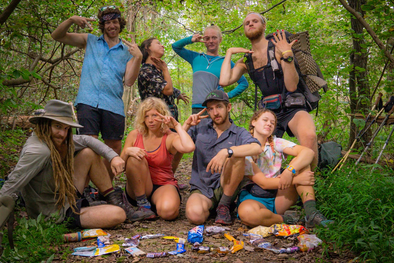
Our driver took us down to the town of Stratton, where he gave us the nickel tour; everything from the town’s history, to a quaint description of every establishment in town. After going through town, he dropped us off at the post office, where we picked up our next resupply package. After grabbing a few more snacks from the grocery store, and spreading it all out like a yard sale in the town park so we could sort it, we packed up our food laden packs and headed for the highway. It was a quick trip to town, but it covered all the bases.
We caught a ride back up the road with a local school teacher and were soon on our way up the next mountain. The going was slow, and we were sweating so hard it might as well have been raining. After five long miles we reached the summit of Crocker mountain.

We made our way down the other side, and made camp on the Carrabassett River. For the first time in recent memory it didn’t rain that night. Perhaps even more miraculous, our tarp which has been perpetually soggy for days, was bone dry by the time we got up.
With dry gear, our spirits were high, and we left camp with a skip in our step by 7am. As we continued to make our way over nearly all of Maine’s 4000+ft peaks, we could only move so fast as we were climbing straight up over boulders and roots.

It took several hours to go a relatively short distance, but we climbed nearly 2000ft in that stretch. We took a morning break at the Spalding mountain lean-to, and met some other south-bounders for the first time. One was hiking with her dog, which came as a great distraction as we trying to recover from the climb.
A couple mountains for breakfast didn’t seem adequate though, so we kept hiking. We quickly dropped a couple thousand feet down to Orbeton stream, after which we promptly began climbing up the other side to gain what we had lost. By late afternoon we summited Saddleback Junior Mountain, the first of three successive summits that get taller as we go south.
Many people have warned us that this is the most difficult section in Maine, which is one of the most difficult states. I suppose if we can survive this, along with the up and coming presidential range of New Hampshire, then the rest of the trail should be a cake walk. We’ll come back to this hypothesis later on.

We set up our tarp high on the hillside on one of the wooden tent platforms. The wind picked up as we were settling down for the evening, and dried out the residual moisture in our clothes and sleeping bag. This in itself was cause for celebration. Combined with lower temperatures, we had one of the best nights of sleep since starting the trail.
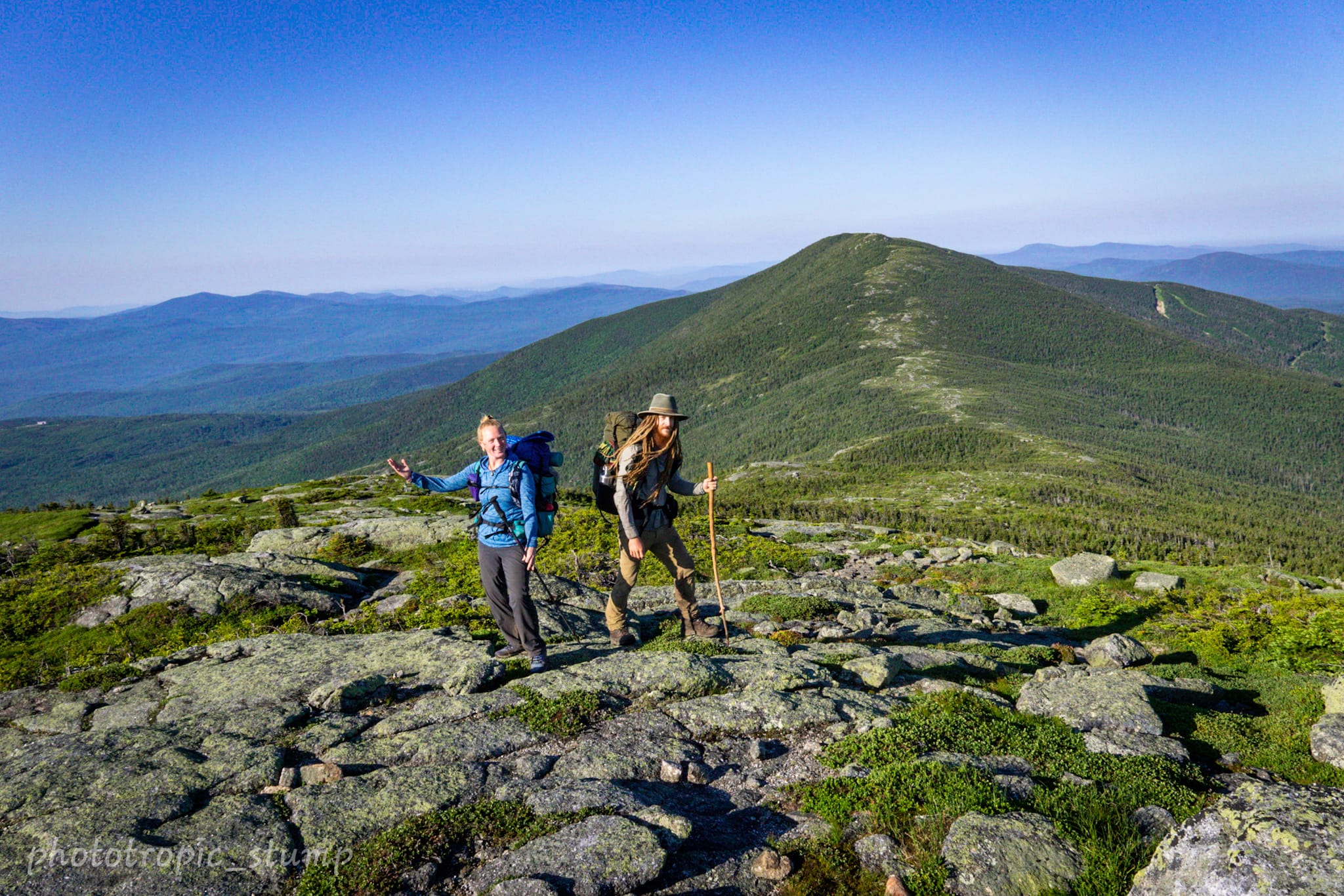
We left camp just after the sun came up, and began our climb up to Saddleback Mountain. When we crested above treeline we were rewarded with an exceptional view that revealed the mountains we have traversed to north, along with climbs to come in the south – namely the Whites of New Hampshire.

Once we reached the first false summit, we ridge walked for several miles; a rarity on this trail. The visabilty was great, and the bit of the climb up to summit was a good reminder of why we love backpacking.

As we were hoping to make it into the next town by the 4th of July, the rest of the day was spent trying to make great strides. We took a couple short breaks here and there, but as the trail evened out a little and the sun was shining, we couldn’t have asked for better conditions.
After 17 miles we came into the Sabbath Day Shelter, and saw John (now “Shoe-goo”) for the first time in over a week. We had a short little reunion of sorts, then all three of us headed out for the next camp a few more miles down. The trail is a strange place at times; you never know when you may see someone again, if at all, but it certainly keeps it interesting.
When we parted ways in the morning, we didn’t make it far before we ran into a bit of trail magic. Some fresh fruit and cold beverages was a great way to kick off the 4th of July.

With magic in our bellies and town on our minds, we made a quick dozen miles up and down to South Arm Road. Here we arranged for a shuttle from the Human-Nature Hostel to scoop us up. With almost an hour to kill before the shuttle arrived, we jumped in the river and cooled ourselves from the heat of the day.
As we were waiting in the shade and drying off, we were bombarded with drive-by trail magic in the form of cold sodas. It seemed that magic was in the air. By the time we finished our pop, the shuttle rolled up and took us to Andover.
Staying at the hostel for a couple days before we get back on trail, we are enjoying the geodesic lodge tucked away on 42 acres. The host is something of a celebrity as he has been on the survival show Naked and Afraid several times. Needless to say he has some good stories…
Next stop will be in a new state – here comes New Hampshire!
Cheers from Maine
Stump and Mandalynn


1 Comment
Thanks for sharing this, I really enjoyed reading it.