The Rincon-Catalina Complex

Homeward Bound – The Santa Rita Mountains
March 12, 2019
The Dry & Beautiful
March 30, 2019After waiting out winter storms for a couple of days, we picked up the trail at the Sahuarita intersection, south of Tucson, sometime in the early afternoon. We made quick miles as the terrain was relatively flat amongst the long rolling hills. We soon dropped down into one of the tributaries to the Davidson wash, where we crossed under Interstate-10 and took a picture at the rattlesnake mural.

Rattlesnake Underpass!
From here we followed the east rim of davidson wash down to the recently dedicated Gabe Zimmerman trail head, in honor of the shooting that injured/killed 19 people in downtown Tucson in 2011. This brought us down to La Cienega Creek where we have hunkered down for a cold night. The sunset held the dying glow of this drawn-out winter storm, reflecting pinks and oranges in the last of the passing storm clouds. Meanwhile rumbling freight trains rolling through the canyon rocked us to sleep….

Sunset at the three bridges – La Cienega Creek
One of the beautiful things about the trail is its ability to teach us things despite how familiar with a region we may already be. We left Cienega creek this morning, and found ourselves in a unique biome where the Chihuahuan and Sonoran deserts fade into one another. Here, below Colossal cave, the Tohono O’odham lived for hundreds of years, thanks to the wealth of springs and abundance of food associated with the proximity to the Rincon Mountains.
We saw our first saguaros of the trip today, along with with lupine and casteleja of a splendid pink variety. The mexican poppies have also become more abundant. Much of the vegetation in the foothills was extremely healthy, with some of the most gnarled mesquites I have ever seen. Among them was the largest staghorn cholla I have ever seen, with a small trunk comparable to a palo verde. To my surprise it created a large pocket of shade amid the otherwise leafless trees. It is funny how something as harsh and unforgiving as a cactus can still provide relief and respite in desert.
We camped right on Rincon creek, which was flowing substantially with snow melt laden with tannins. We forded the creek first thing in the morning and immediately began climbing up towards the mountain tops.

We got to grass shack campground in the mid afternoon and filtered some water in the spacious and deserted campground. From grass shack it was only around 4.5 to Manning Camp atop the mountain, to which we only anticipated it taking a few hours. But about 2 miles from grass shack we hit snowline… Moving uphill, at elevation, in the melting snow made for arduous miles. In the end, it took nearly 3 hours to go 2.5 miles. On the upside, we got to see the Rincons bursting at the seams with waterfalls; every creek, stream, and tributary flowing abundantly. Just before the sun began to set, we arrived at Manning camp, totally exhausted (in total we climbed around 5700ft that day). As we trudged around in the snow looking for a place to setup a shelter, a friendly face popped out of the cabin…
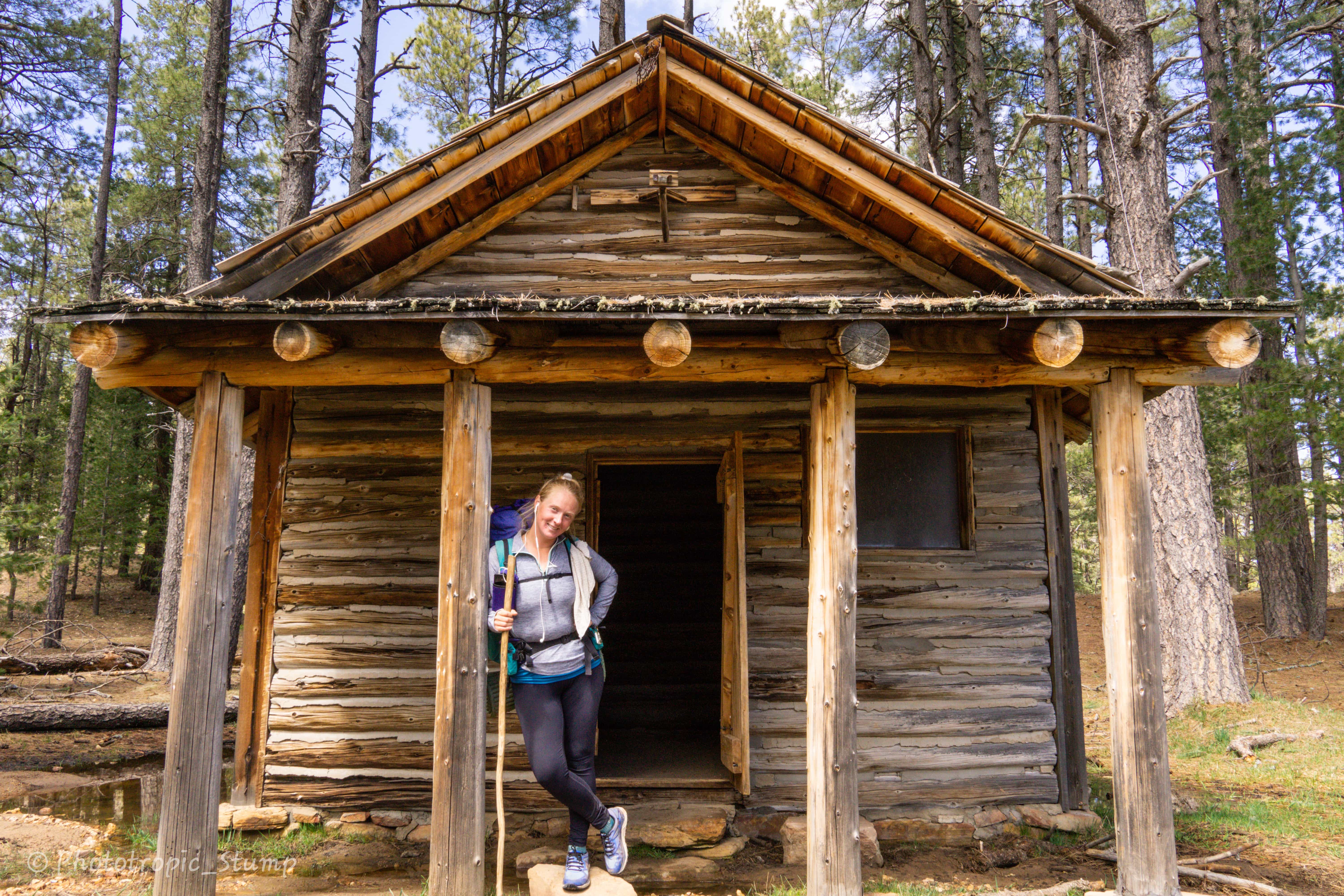
Turns out another hiker had found his way into the forest service cabin. He confessed that he found the cabin unlocked and was sleeping in the middle chamber (for storing wood and supplies). Without too much thought we realized we ought to do the same. While the Ranger’s quarters were still locked up, we took advantage of this snow free ground in the storage room and enjoyed our break from the wind. As the temperatures began rapidly dropping, our friends Bluebird and Tiny Dancer arrived in the nick of time. Party in the forest service cabin!

As an added bonus, some of the only things left in the storage room were surplus wool blankets and sleeping pads. We couldn’t help to take advantage of these and boy did we sleep well.
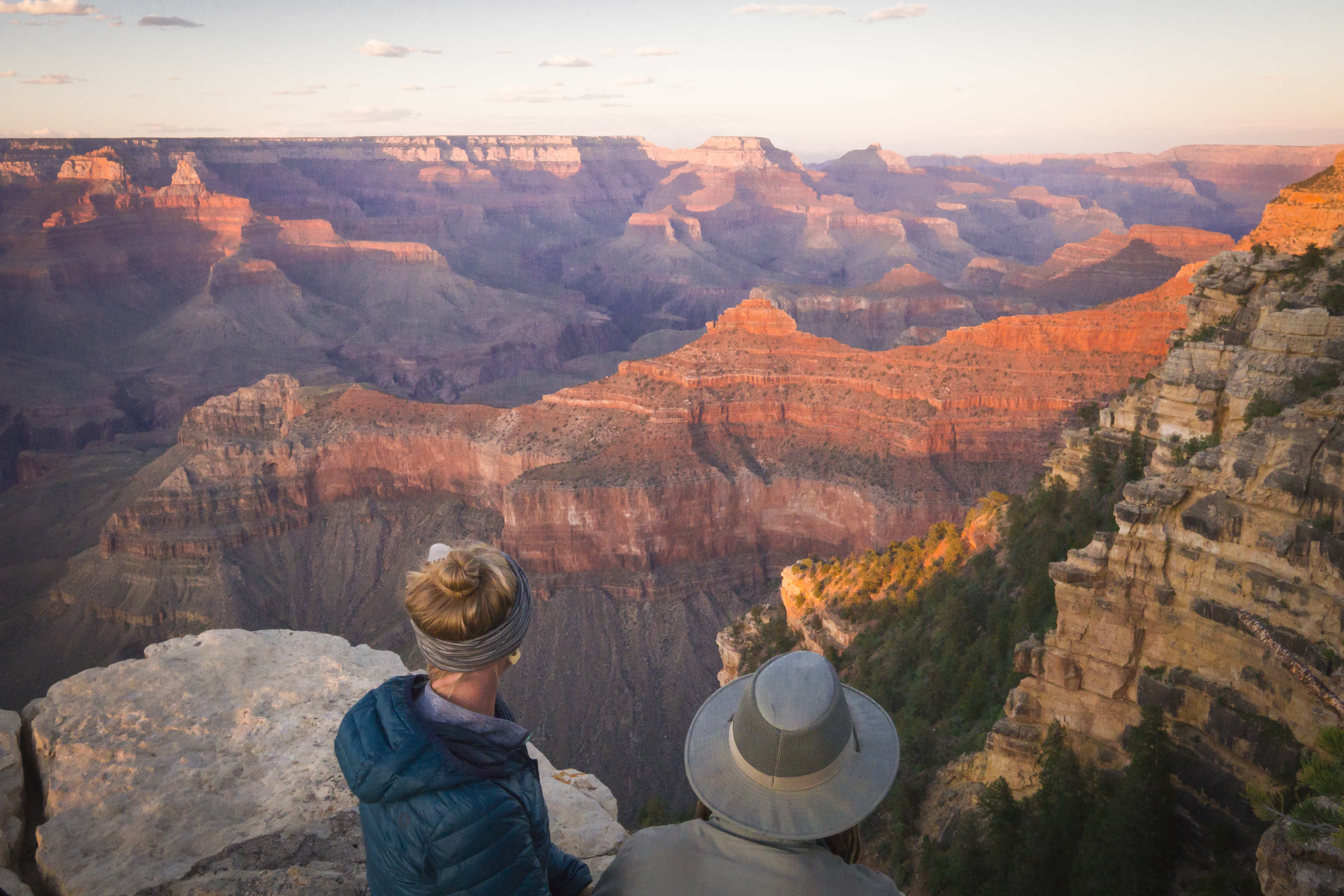
From camp the next morning, we continued to climb another 600ft in the snow before making one of the most breath-taking descents of the trail so far. Our perspective on the desert valleys to the northeast of Tucson and beyond were like nothing we’ve ever seen. Mt. Graham and the Chiricahuas rose brilliantly from the desert basins stretching to the horizon. Meanwhile Mt. Bigelow stood out as well, but Tucson was totally obscured, giving one the sensation of total desert isolation.
We made our transition into the Santa Catalina mountains on St. Patrick’s day. A warm sunny Sunday, everybody and their brother was out on their fancy mountain bikes cruising the Arizona Trail. With a northwestern trajectory, we dropped down into Molino Basin, crossing over Catalina highway.
While we have hiked this section many times, never have we seen it with so much water and lush vegetation. Sycamore reservoir made for one of the largest waterfalls I have seen around Tucson in recent memory.

Sycamore Reservoir
Upper Sabino canyon was also lush, but we did not begin to see wild flowers until we dropped into Rattlesnake canyon, headed for Hutch’s pool. Here the mexican poppies held court and came out en masse making for one of the best displays we have seen so far.
We set up camp in one of our favorite spots, a couple miles past Hutch’s pool, just before the climb to Romero pass.

Camp before the pass
It is strange how you can be so familiar with a place, but with the addition of ample rain and snow melt, it becomes nearly unrecognizable. Many a times today I swore we were on the wrong trail, but whispers of something familiar kept us pushing forward. To see the desert in this state is a treat.

The next morning got off to an early start, and before we knew it we were hiking up to Romero pass. Little did we know this would be a cake walk compared to what was to come after.
After we met the Mt. Lemmon trail jct, the trail began to climb at a rate of 600-700ft/mi straight up the ridge line. This went on for good while, before letting off a little and leading up to yet another saddle. From here we descended down into the wilderness of rocks, where we bounced up and down for miles in the northeastern direction. The wilderness was a beautiful area, over flowing with water, trees, rocks and numerous campsites that made me consider calling it an early day.

At last we came to what we assumed would be our last climb of the day, up to one last saddle. Anxious to get to Summerhaven, the little tourist town atop the mountain, we made good time up the hill and were able to see our awaited destination on the other side. We came down through Marshall Gulch, dropping us into the campground, and in turn, the main drag of town. We stopped into the Cookie Cabin, got some hot cider, made use of their plumbing and then went on our merry way.
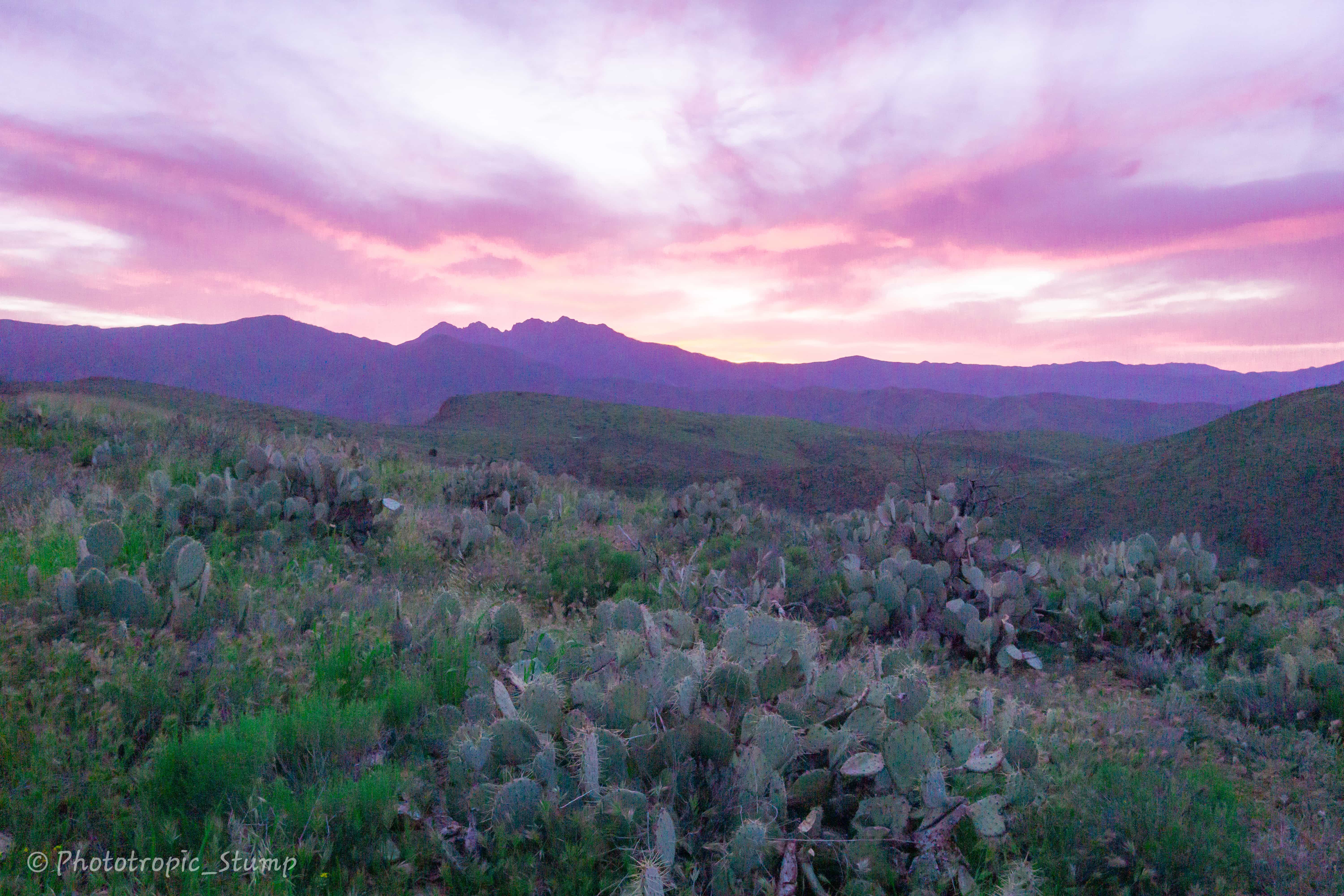
We continued to walk down the main drag, past the post office and onto to the highway. We walked till we hit the fire station and old control road, which we followed to the Oracle ridge trail head. After a long day of climbing, a beautiful ridge walk was a great way to top it off. Unfortunately this also amounted to a couple more miles of climbing, switchbacks and all. Truth be the told, the views were phenomenal, and the conditions couldn’t be beat. Overcast skies with intermittent sun beams lit up the canyons on the backside of the Catalinas, while the San Pedro valley was mottled with shadows from the clouds. With wide open views to either side of the ridge, sunset was spectacular as we hunkered down on a surprisingly well maintained forest road. Even got some surprise rain before going to bed. A well rounded day to say the least.

We woke up around the time that the first light of morning was coming on, and not feeling too cold, reluctantly got out of bed and hiked down the road in thermals to snap a few photos of the rising sun.

The next day was mostly downhill, and the miles were quick, albeit dry. It is amazing the contrast of water between the north and south sides of the range. We hiked for a couple of hours before we came unto our first water source since leaving Summerhaven – a large blue fiberglass tank. We took a short break here, met some other hikers, and then headed down toward the town of Oracle.
Again, there was no water to be found in this section, and with this came the harsh realization that we may need to start looking at the water report and carrying more on us.

trail flowers outside Oracle
Cheers!
Stump & Mandalynn


