Into the South Sierra

Walking Across the Mojave
June 8, 2016
Day by Day, Pass by Pass
July 4, 2016After taking our much needed break on the Kern river for a few days, we made our way back to the trail via Walker pass and resumed hiking. In this last stretch of desert, the heat continued to force us to hike during the night, primarily in the interest of water. In a few days time we found ourselves entering rock house basin, where high desert transitioned into the South Sierra Nevadas. We stopped into the Kennedy Meadows general store where we made our last resupply before entering the long awaited mountain kingdom. Here we got some more warm clothes, micro-spikes for added traction, and a ten day’s supply worth of food.


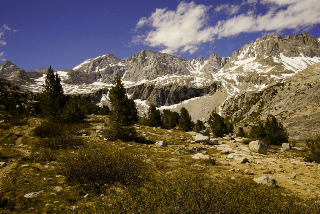
With packs loaded to the brim, we made 14 miles from Kennedy meadows before reaching the Kern river at 8000ft -in contrast to where we had taken our trail-vacation at 3000…. Instead of low desert, we now found ourselves in large sweeping alpine meadows, well vegetated and abundant with water. In the distance we occasionally steal glimpses of snow capped peaks, one of which is Mt. Whitney. As we continue to head North, the peaks become more prominent, and our elevation steadily increases. Three days from Kennedy Meadows and we hit our first true alpine lake called Chicken Spring. Positioned just below tree line at 11,200ft, the lake is lined with ancient fox-tail pine, gnarled and twisted from the relentless wind. After spending the night next to the frigid waters, we crossed the border into Sequoia National Park and descended into Crabtree meadows at the base of Mt. Whitney. We made camp in one of the most beautiful meadows we’d ever seen, adjacent to the meandering Crabtree creek, enclosed by 13-14,000ft peaks rising straight up out of the valley.

On the anniversary of two months on the trail, we woke up shortly after 2:00am and began packing our things for Mt. Whitney. By 3:30 we left our base camp and began climbing. As we began to catch signs of first light, we hiked up on Timberline lake, the first of many along the way. Shortly after we arrived at Guitar lake, and here the initial pinks and oranges of the sunrise began to come on. From the lake we switched backed up the scree slopes of the west face. High above tree line now, the sun began to illuminate the basin which we had hiked up from, and the lakes that sat like nested reflecting pools. By 8:30 we reached highest point in the lower 48 at 14,505ft. Despite the elevation, we felt light without our packs, and experienced no problems with mountain sickness or even shortness of breath. A good contrast to the last time I was above 14,000ft. As to be expected, the summit was quite windy, though the views were well worth it. After enjoying our thirty minutes of solitude on the top of the world (complete with a 100 year old stone wind shelter) we began making our way back down, passing the hoards of day hikers out for the weekend. We spent the rest of the afternoon resting and relaxing at our base camp before getting back on the trail the next day.

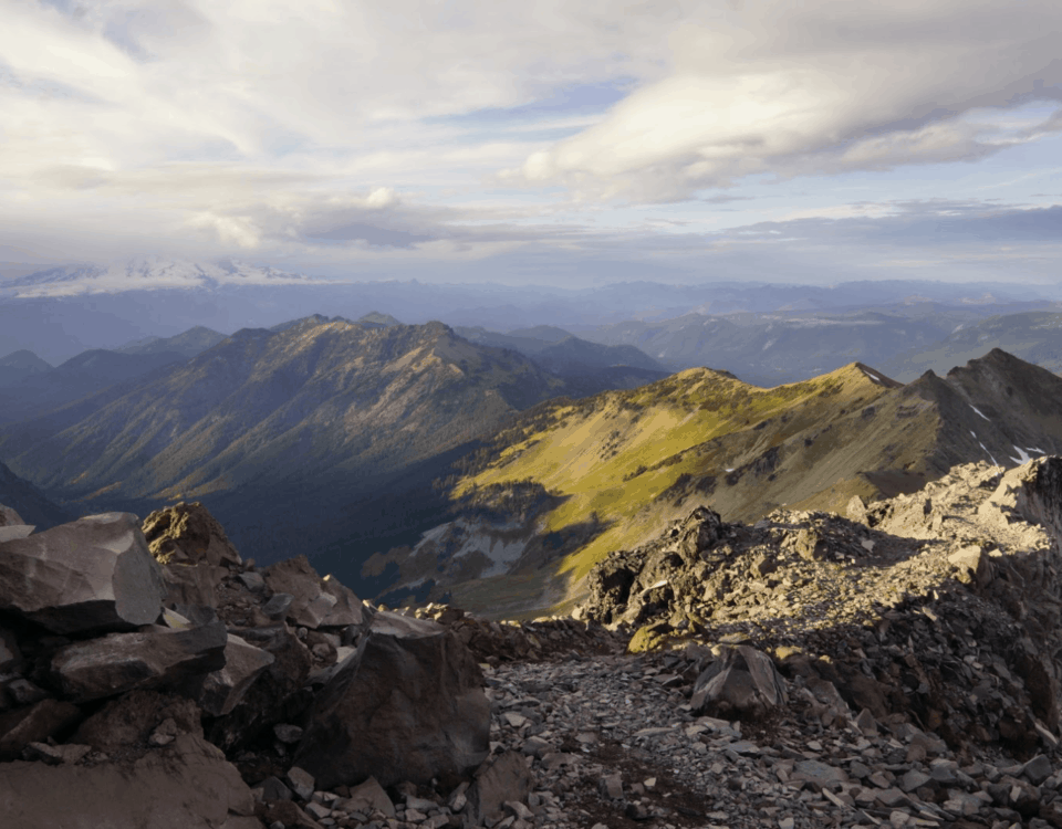
As our good friend Sherpa had advised, mountain passes are best hit in the morning, when the snow is still frozen and you can avoid post-holing your way down the trail. With this in mind, we only hiked 9 miles after Whitney, positioning ourselves at tree line just below Forester Pass, the highest point that the PCT officially intersects (Whitney was just a side trip). The following morning we were out early, wandering the lunar landscape above tree line as the sun began to make its appearance. Spotted with frozen lakes, snow fields and scree slopes, it was easy to imagine that we were on another planet devoid of life. From the pass, we stood on the dividing line of two major parks, To the South, Sequoia National park, to the North, King’s Canyon. As we came down the North side, the snow fields were much larger, necessitating the use of our spikes. We quickly became surrounded by peaks that seemed reminiscent of the Alps, only the bottom of the canyon was low enough to support trees at roughly 9500ft. Over the course of one of the best days we’ve had on the trail, we traversed the canyon, only to go up Kearsarge pass on the opposing side. From here we left trail to make our way to the town of Bishop, where our next resupply awaits. While it requires 7.5 miles of off-trail hiking and 50 miles of hitchhiking (one way), it is our only option in these isolated mountains. That’s all for now, but there is still so much more to come.

Cheers from the trail!
Stump & Mandalynn
King’s Canyon 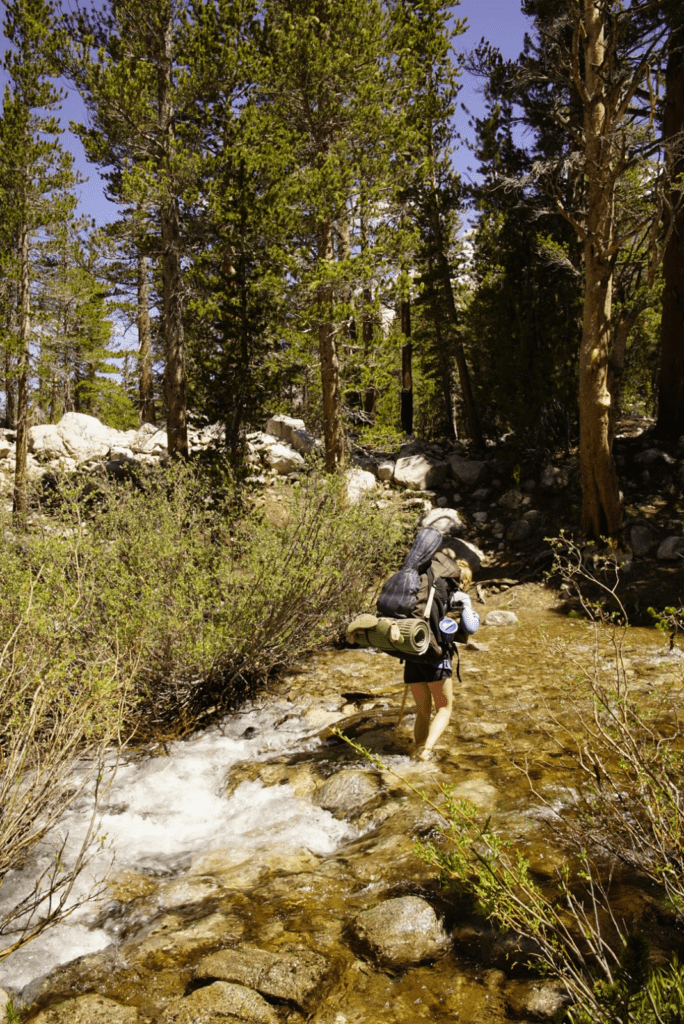
creek crossing! 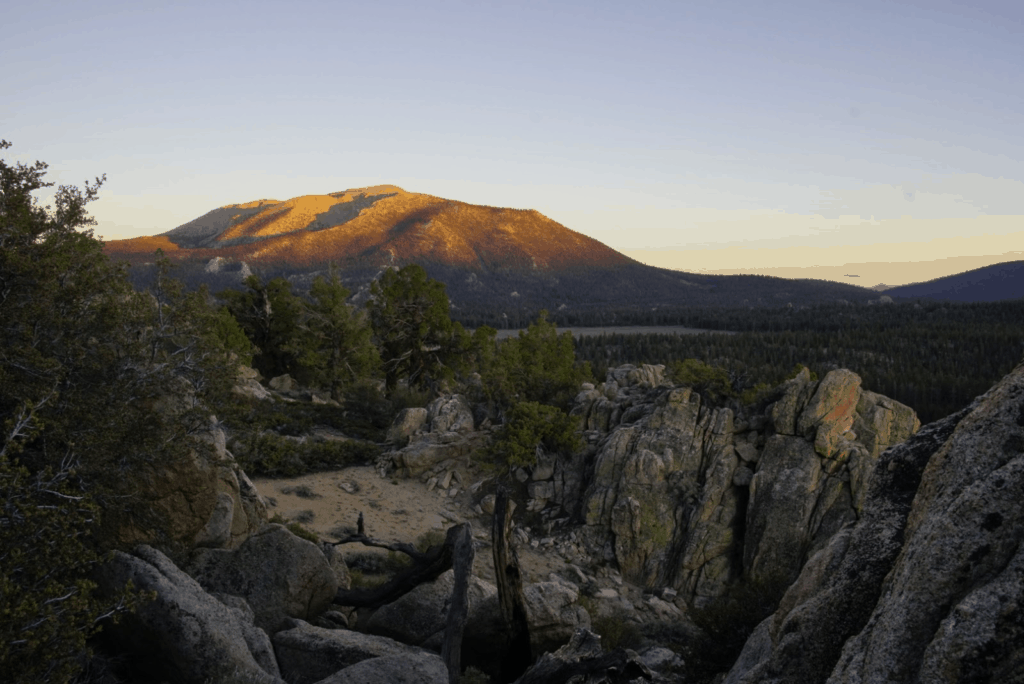
entering the Sierra 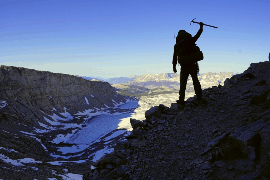
summiting Forester Pass 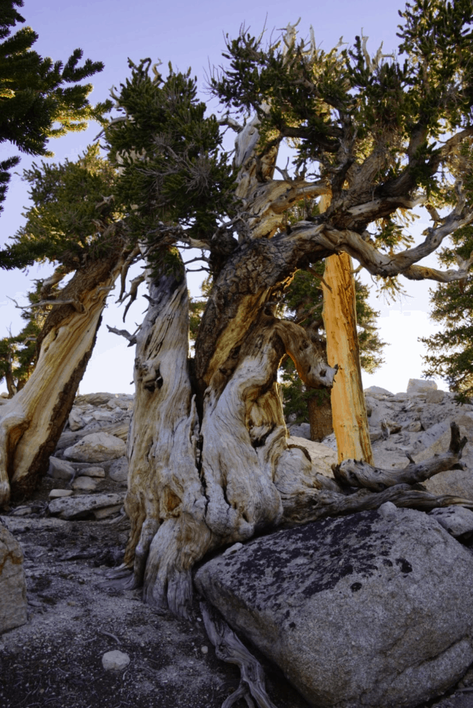
Pinus balfouriana 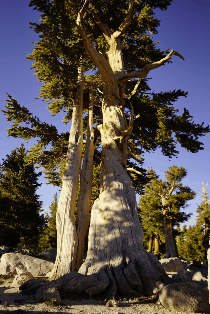
Pinus balfouriana 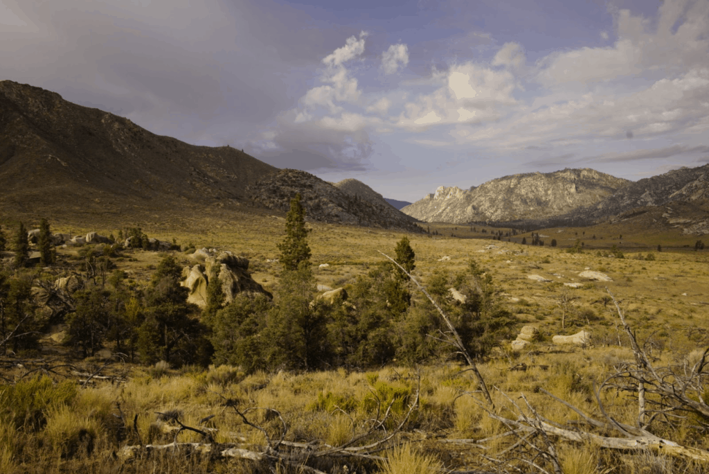
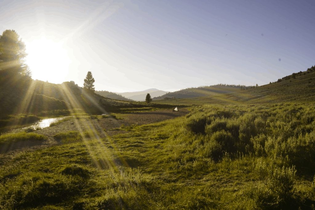
one last camp on the kern 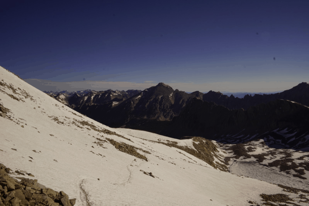
N. side of Forester pass -2016 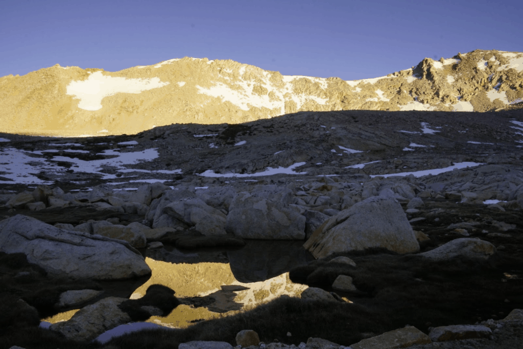
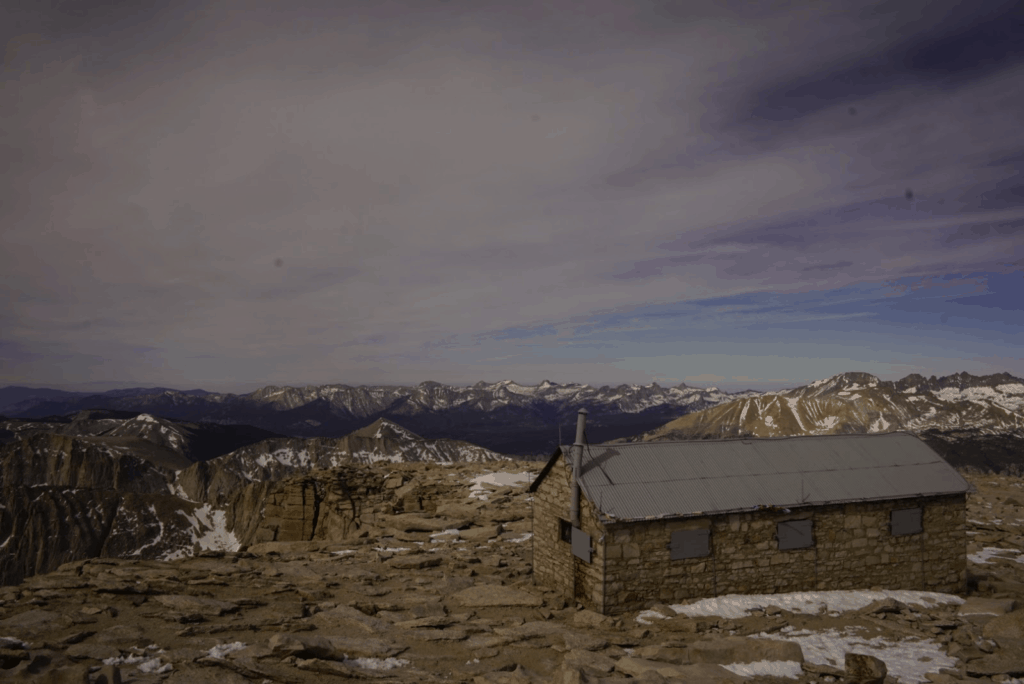
Muir Hut – Whitney Summit 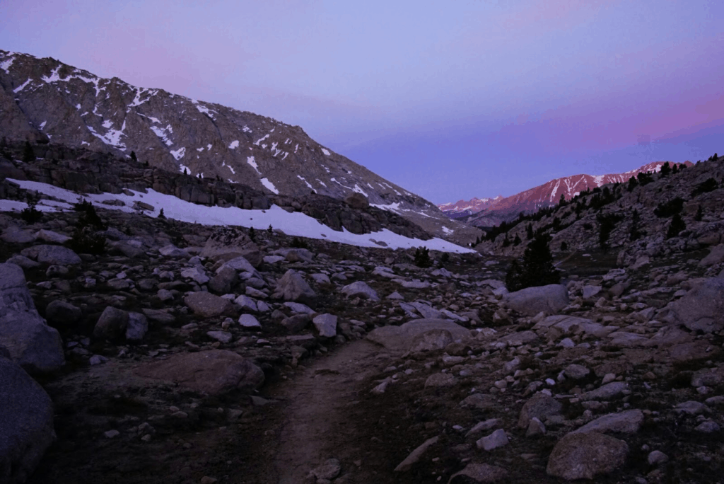
sunrise on our way up Mt. Whitney
